
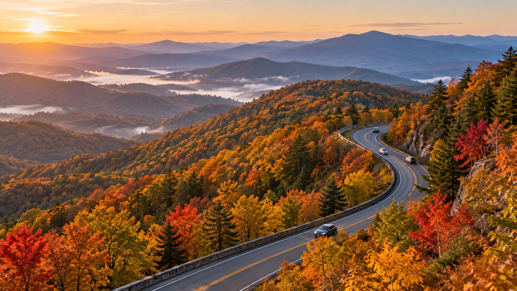
The Blue Ridge Parkway enters the heart of its 2026 fall season with far more road restored than travelers had at the start of the year, but it is not yet a simple end-to-end drive. The National Park Service said on October 5 that 458 of the Parkway’s 469 miles had been restored after Hurricane Helene, including several important North Carolina reopenings and a completed Virginia rehabilitation project.
The most useful planning update is newer: the official road-status page was updated at 7:03 a.m. on October 14. It confirms that most sections are open while one major Helene closure, a short Virginia bridge detour and several construction zones still interrupt a seamless trip. Here is what is open, what remains closed and how to choose a realistic fall window without betting the day on one predicted peak date.
Blue Ridge Parkway fall 2026 quick take
- Open mileage: NPS reported 458 of 469 miles restored on October 5.
- Main remaining Helene closure: milepost 344.2 to 355.3 between NC Highway 80 and Mount Mitchell State Park remains closed, with recreation prohibited inside the closed section.
- Virginia detour: milepost 63.5 to 63.9 around the James River Bridge is closed for rehabilitation, with detour signs posted from milepost 61.4 to 64.
- Fall timing: color normally moves from high elevations to lower valleys through October, so no single date works across the entire 469-mile route.
- Best crowd strategy: choose one corridor, start early on a weekday and keep a legal alternate access point ready.
- Cost: there is no entrance fee to drive the Parkway, though campgrounds and some activities charge fees.
- Same-day check: road status can change after the NPS page is updated, so verify the official list immediately before departure.
What reopened before peak fall travel
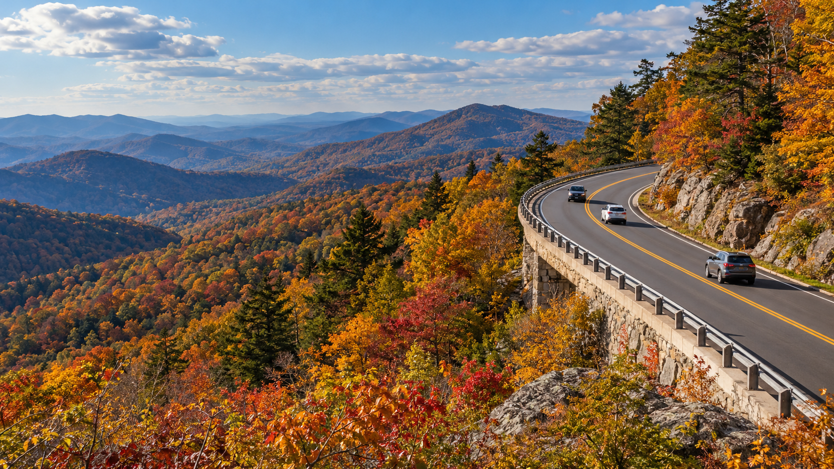
Two North Carolina segments reopened after Helene repairs: milepost 317.5 to 324.7 south of Linville Falls and milepost 333.9 at Little Switzerland to milepost 340.2 at NC Highway 80. By the October 14 status update, the open listing continued from Little Switzerland to Victor Crossing at milepost 342.1, but the closure farther south still prevents a continuous run toward Mount Mitchell.
The Deep Gap Bridge at milepost 276.4 also reopened after scheduled maintenance. Near Roanoke, the milepost 115 to 121 rehabilitation project is complete and open. NPS separately reported that reconstruction from milepost 229.6 north of Doughton Park to milepost 305.1 near Grandfather Mountain finished in mid-September, although the current status page still warns of sporadic, short-duration single-lane traffic control through parts of the Boone and Blowing Rock corridor.
For campers, loops B and D at Julian Price Campground reopened after Helene-related work. Reservations were made available through October 30, giving late-October travelers an official overnight option while the seasonal window remains open.
The closure that still breaks a through-drive
The important gap is milepost 344.2 to 355.3, from NC Highway 80 to Mount Mitchell State Park. NPS lists that section as closed for Helene repairs and prohibits recreation of any kind inside it. Mount Mitchell State Park itself is listed as open at milepost 355.3, but visitors must approach from a legal open route rather than attempting to cross the closed Parkway segment.
The October 5 release said the final Helene road repairs from roughly milepost 344 to 355 were slated for completion and reopening by the end of 2026. That is a target, not a guarantee for a specific trip date. Until the live road-status page changes, plan a detour or treat the open road on each side as separate outings.
Other current detours, closures and slow zones
- James River Bridge: milepost 63.5 to 63.9 is closed for rehabilitation, with a signed detour around the short gap.
- Roanoke Mountain Loop: closed until further notice at milepost 120.3.
- Boone and Blowing Rock area: sporadic short-duration single-lane closures are listed across portions of milepost 261.2 to 305.1.
- Linville Falls facilities: the campground and picnic area are closed because of Helene impacts, according to the October 14 status page.
- Crabtree Falls: the campground is closed, the picnic area is open and hiking is prohibited because of Helene damage.
- US Forest Service Road 63 at milepost 367.6: closed until further notice at the USFS gate.
- Facility cautions: Linn Cove Visitor Center is temporarily closed; Otter Creek Restaurant, Bluffs Lodge and Rocky Knob Cabins are also listed as closed.
These restrictions are spread across a very long route. A closure hundreds of miles from your chosen section may not affect the day at all, while a four-tenths-mile bridge closure can matter if it sits between your lodging and first overlook. Check the milepost numbers, not just a broad “open” label.
When fall color is changing
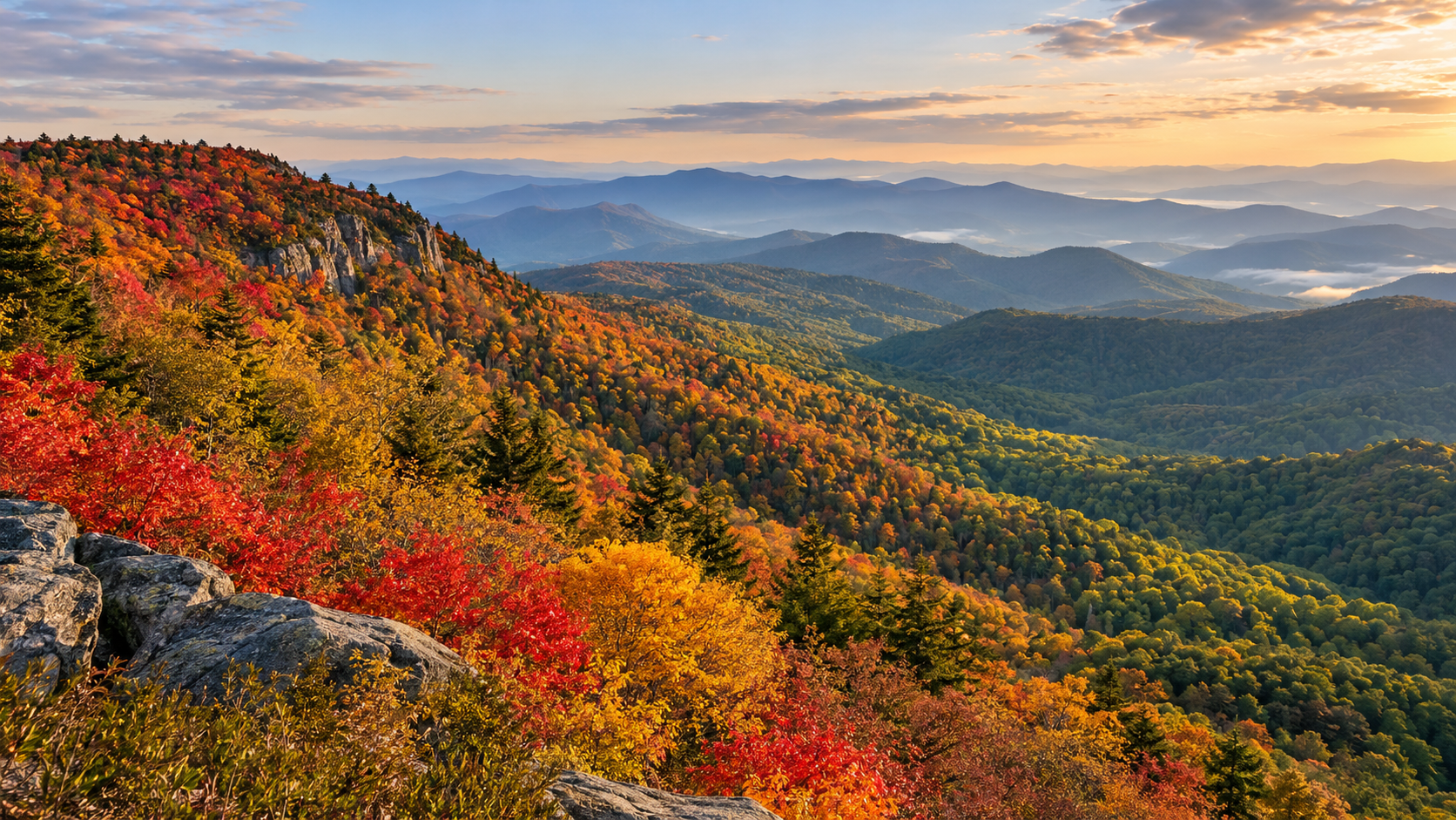
The Parkway gains and loses more than 5,000 feet of elevation and passes through nearly 470 miles of mountain terrain. NPS says the majority of color change happens during October, generally beginning at higher elevations and moving downhill. That makes the route more flexible than a single-location foliage trip: if one ridge is past peak, a lower valley may still be improving.
A regional update posted October 12 for Virginia’s Blue Ridge described color as developing to pre-peak and suggested October 24 through November 7 as the broad viewing window around Roanoke, with higher elevations typically turning sooner. Treat that as a regional planning estimate rather than a Parkway-wide promise. Temperature, drought, rain, wind and exposure can shift conditions quickly.
For an October 18 trip, the smartest approach is to choose an elevation range, compare current webcams or recent official images and keep a lower-elevation backup. For later October, lower slopes and valleys can remain colorful after exposed high ridges have thinned.
A crowd-smart way to choose your route
Do not try to “complete” all 469 miles during a fall weekend. The Parkway’s 45 mph maximum speed, lower posted zones, overlooks, roadwork and leaf-season traffic make progress slower than a mileage app suggests. NPS notes that October is one of the heaviest traffic months.
- Pick one section that fits your lodging and confirm every milepost between your entry and exit points.
- Prefer Tuesday through Thursday when possible; otherwise reach the first overlook near sunrise.
- Download the official map and a screenshot of the current road-status table before leaving reliable service.
- Identify one state highway exit before the closure or construction zone you are most likely to encounter.
- Skip a full overlook and continue to the next legal pullout rather than waiting in a travel lane.
- Add at least 30 to 60 minutes of buffer to any time-sensitive reservation or sunset plan.
NPS warns that its LiveMap is currently not displaying closures, so use the written Road Status and Closures page and the Alerts and Conditions page instead of assuming the map is current.
A practical one-day fall plan
Start by checking the road-status timestamp, weather and daylight. Enter the Parkway close to the section you actually want to explore, then drive a modest out-and-back or a one-way segment with a confirmed lowland return road. Choose two or three overlooks rather than stopping at every pullout.
Use midday for a picnic, visitor center or short walk that is confirmed open. Avoid stacking a long hike, a campground check-in and a distant sunset overlook into one day. In late October, leave enough daylight for the return drive: shaded curves, wildlife and narrow shoulders become harder to manage after dark.
If the milepost 344.2 to 355.3 closure sits in your planned route, decide on the detour before entering the Parkway. Do not rely on finding a signal at the closure gate, and never enter a closed road or trail even if it appears quiet.
Camping and overnight planning
The Parkway’s eight developed campgrounds generally operate from May through late October, weather permitting. NPS lists a standard campsite fee of $30 per night and allows advance reservations through Recreation.gov. Services are basic: potable water, restrooms and dump stations are available, while showers are limited to Julian Price and Mount Pisgah.
Late-season dates and individual loops can change. Julian Price loops B and D reopened for reservations through October 30, but other facilities may close earlier or remain unavailable after storm damage. Confirm the specific campground and arrival route before paying, and bring only certified heat-treated firewood if you plan to use a fire ring.
Driving safely on the Parkway
The posted maximum is generally 45 mph, with many 35 mph and 25 mph zones. Steep grades, tightening curves, limited sight distance, wildlife, bicycles and narrow shoulders require more attention than an ordinary highway. NPS encourages drivers to use the Parkway’s overlooks for scenery rather than watching the view while moving.
- Fuel before climbing onto the Parkway; services can be far apart and seasonal.
- Use lower gears on long descents and expect slower vehicles on steep grades.
- RV drivers should confirm tunnel clearances, especially south of Asheville.
- Never stop in a travel lane for a photograph or wildlife sighting.
- Carry warm layers and rain protection even when valley weather feels mild.
- Leave room for sudden fog, wet leaves and short-notice weather closures.
What to pack for a fall day
- Offline maps plus a paper backup.
- Water, lunch and extra snacks in case a detour adds time.
- A charged power bank and vehicle charger.
- Warm layers, a wind-resistant shell and sturdy shoes.
- A small first-aid kit, flashlight and reflective emergency layer.
- Reservation confirmations and saved screenshots for any campground or activity.
A waterproof Blue Ridge Parkway map on Amazon can be a useful offline backup when a closure forces a reroute and cellular service is weak.
As an Amazon Associate, ReaderSpice earns from qualifying purchases.
The bottom line
The Blue Ridge Parkway is substantially restored for fall 2026, and the October 5 reopenings give travelers a much longer continuous drive through Virginia and northern North Carolina. The remaining Helene closure between milepost 344.2 and 355.3 still matters, however, and the James River detour plus several single-lane work zones can change a tight itinerary.
Use the October 14 road-status list as a starting point, then check it again on the morning of travel. Match your route to the elevation that is showing color, choose one manageable section and keep an alternate access road ready. That flexible plan is more valuable than chasing one supposed peak weekend.
Sources
National Park Service: Blue Ridge Parkway Road Status and Closures — updated October 14, 2026
National Park Service: Blue Ridge Parkway Fall Colors
National Park Service: Blue Ridge Parkway Maps and LiveMap notice
National Park Service: Blue Ridge Parkway Driving Safety
National Park Service: Blue Ridge Parkway Camping
National Park Service: Blue Ridge Parkway Fees and Passes
Virginia’s Blue Ridge: 2026 Fall Color Schedule — updated October 12, 2026
Blue Ridge Parkway Association: Fall Color on the Parkway
Inline image: Blue Ridge Parkway reopened section in autumn
Inline alt text: Restored Blue Ridge Parkway mountain road open to cars amid colorful fall foliage
Inline image: Blue Ridge Parkway fall color elevation gradient
Inline alt text: Blue Ridge Parkway overlook showing vivid high-elevation foliage above greener valleys