Blue Ridge Parkway Fall 2026 Guide: Reopened Sections, Current Closures and Best Planning Window

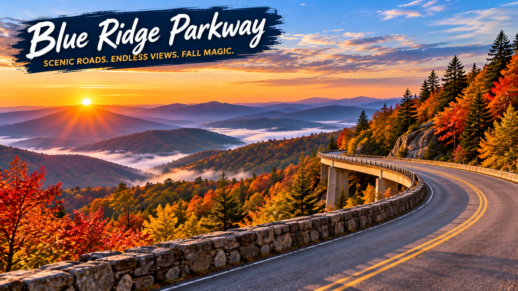
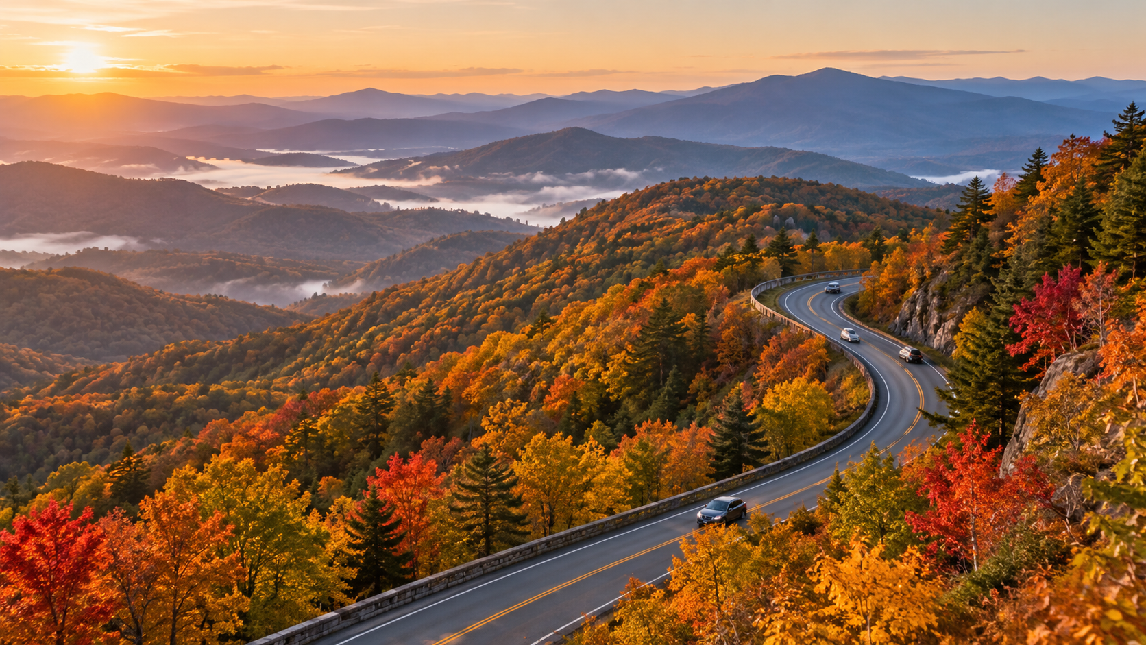
Blue Ridge Parkway curving through layered Appalachian mountains in peak autumn color at sunrise

The Blue Ridge Parkway enters the heart of its 2026 fall season with far more road restored than travelers had at the start of the year, but it is not yet a simple end-to-end drive. The National Park Service said on October 5 that 458 of the Parkway’s 469 miles had been restored after Hurricane Helene, including several important North Carolina reopenings and a completed Virginia rehabilitation project.

The most useful planning update is newer: the official road-status page was updated at 7:03 a.m. on October 14. It confirms that most sections are open while one major Helene closure, a short Virginia bridge detour and several construction zones still interrupt a seamless trip. Here is what is open, what remains closed and how to choose a realistic fall window without betting the day on one predicted peak date.

Blue Ridge Parkway fall 2026 quick take

  • Open mileage: NPS reported 458 of 469 miles restored on October 5.
  • Main remaining Helene closure: milepost 344.2 to 355.3 between NC Highway 80 and Mount Mitchell State Park remains closed, with recreation prohibited inside the closed section.
  • Virginia detour: milepost 63.5 to 63.9 around the James River Bridge is closed for rehabilitation, with detour signs posted from milepost 61.4 to 64.
  • Fall timing: color normally moves from high elevations to lower valleys through October, so no single date works across the entire 469-mile route.
  • Best crowd strategy: choose one corridor, start early on a weekday and keep a legal alternate access point ready.
  • Cost: there is no entrance fee to drive the Parkway, though campgrounds and some activities charge fees.
  • Same-day check: road status can change after the NPS page is updated, so verify the official list immediately before departure.

What reopened before peak fall travel
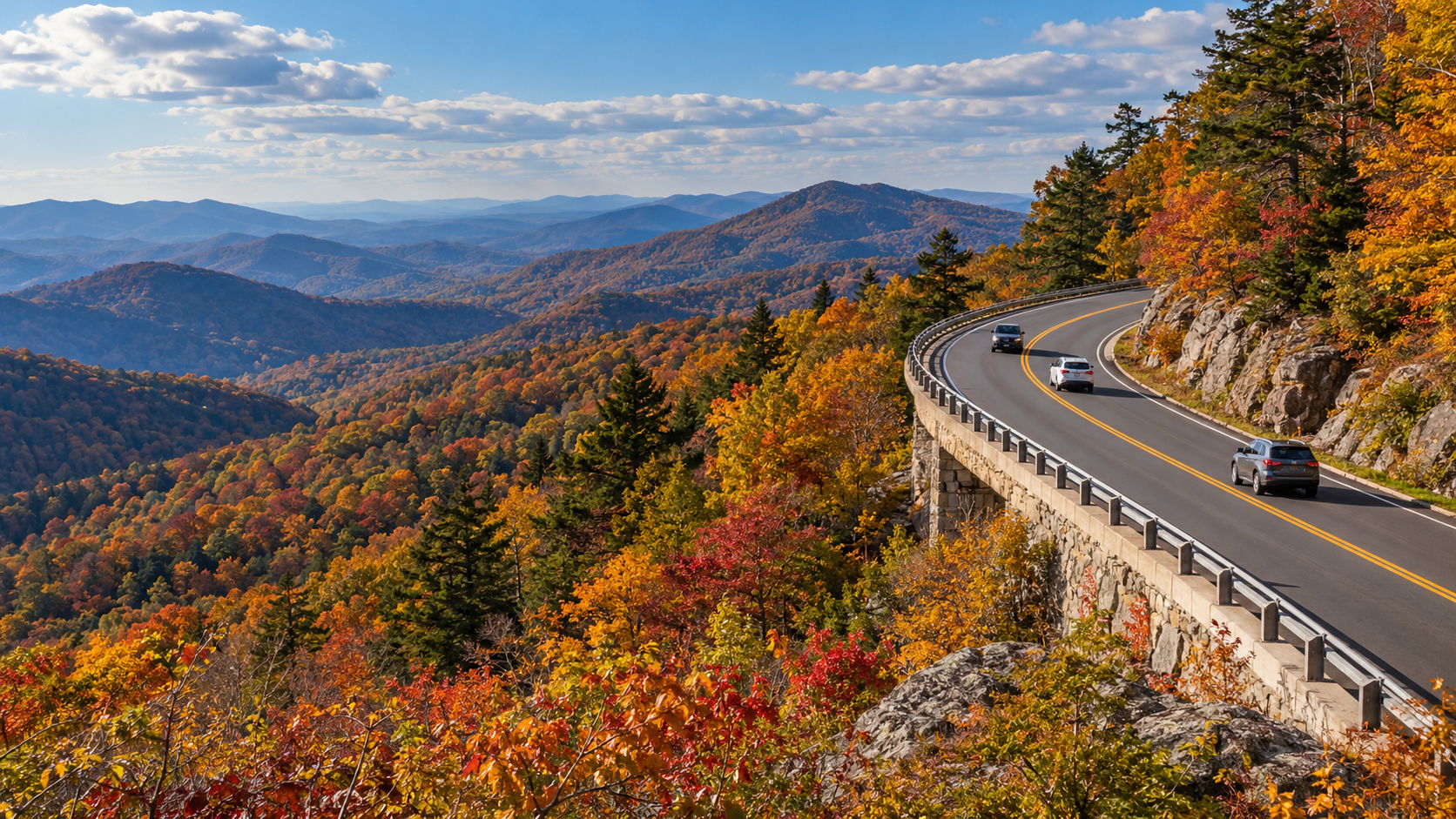
What reopened before peak fall travel

Two North Carolina segments reopened after Helene repairs: milepost 317.5 to 324.7 south of Linville Falls and milepost 333.9 at Little Switzerland to milepost 340.2 at NC Highway 80. By the October 14 status update, the open listing continued from Little Switzerland to Victor Crossing at milepost 342.1, but the closure farther south still prevents a continuous run toward Mount Mitchell.

The Deep Gap Bridge at milepost 276.4 also reopened after scheduled maintenance. Near Roanoke, the milepost 115 to 121 rehabilitation project is complete and open. NPS separately reported that reconstruction from milepost 229.6 north of Doughton Park to milepost 305.1 near Grandfather Mountain finished in mid-September, although the current status page still warns of sporadic, short-duration single-lane traffic control through parts of the Boone and Blowing Rock corridor.

For campers, loops B and D at Julian Price Campground reopened after Helene-related work. Reservations were made available through October 30, giving late-October travelers an official overnight option while the seasonal window remains open.

The closure that still breaks a through-drive

The important gap is milepost 344.2 to 355.3, from NC Highway 80 to Mount Mitchell State Park. NPS lists that section as closed for Helene repairs and prohibits recreation of any kind inside it. Mount Mitchell State Park itself is listed as open at milepost 355.3, but visitors must approach from a legal open route rather than attempting to cross the closed Parkway segment.

The October 5 release said the final Helene road repairs from roughly milepost 344 to 355 were slated for completion and reopening by the end of 2026. That is a target, not a guarantee for a specific trip date. Until the live road-status page changes, plan a detour or treat the open road on each side as separate outings.

Other current detours, closures and slow zones

  • James River Bridge: milepost 63.5 to 63.9 is closed for rehabilitation, with a signed detour around the short gap.
  • Roanoke Mountain Loop: closed until further notice at milepost 120.3.
  • Boone and Blowing Rock area: sporadic short-duration single-lane closures are listed across portions of milepost 261.2 to 305.1.
  • Linville Falls facilities: the campground and picnic area are closed because of Helene impacts, according to the October 14 status page.
  • Crabtree Falls: the campground is closed, the picnic area is open and hiking is prohibited because of Helene damage.
  • US Forest Service Road 63 at milepost 367.6: closed until further notice at the USFS gate.
  • Facility cautions: Linn Cove Visitor Center is temporarily closed; Otter Creek Restaurant, Bluffs Lodge and Rocky Knob Cabins are also listed as closed.

These restrictions are spread across a very long route. A closure hundreds of miles from your chosen section may not affect the day at all, while a four-tenths-mile bridge closure can matter if it sits between your lodging and first overlook. Check the milepost numbers, not just a broad “open” label.

When fall color is changing
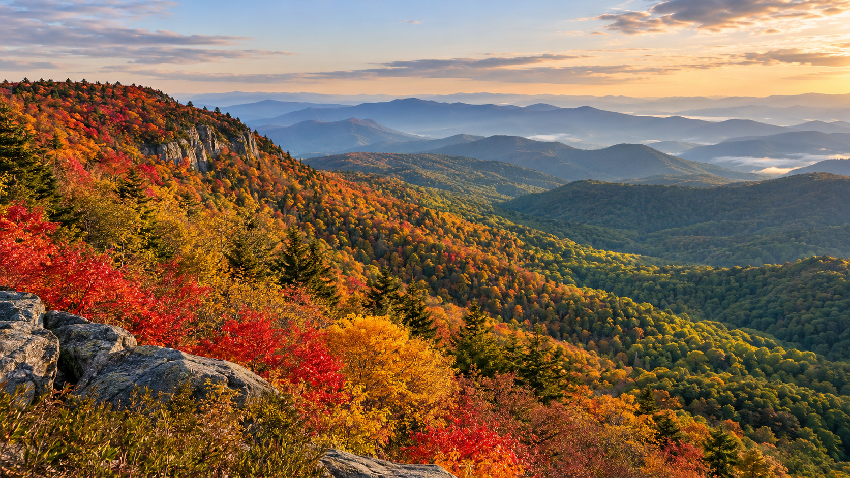
When fall color is changing

The Parkway gains and loses more than 5,000 feet of elevation and passes through nearly 470 miles of mountain terrain. NPS says the majority of color change happens during October, generally beginning at higher elevations and moving downhill. That makes the route more flexible than a single-location foliage trip: if one ridge is past peak, a lower valley may still be improving.

A regional update posted October 12 for Virginia’s Blue Ridge described color as developing to pre-peak and suggested October 24 through November 7 as the broad viewing window around Roanoke, with higher elevations typically turning sooner. Treat that as a regional planning estimate rather than a Parkway-wide promise. Temperature, drought, rain, wind and exposure can shift conditions quickly.

For an October 18 trip, the smartest approach is to choose an elevation range, compare current webcams or recent official images and keep a lower-elevation backup. For later October, lower slopes and valleys can remain colorful after exposed high ridges have thinned.

A crowd-smart way to choose your route

Do not try to “complete” all 469 miles during a fall weekend. The Parkway’s 45 mph maximum speed, lower posted zones, overlooks, roadwork and leaf-season traffic make progress slower than a mileage app suggests. NPS notes that October is one of the heaviest traffic months.

  • Pick one section that fits your lodging and confirm every milepost between your entry and exit points.
  • Prefer Tuesday through Thursday when possible; otherwise reach the first overlook near sunrise.
  • Download the official map and a screenshot of the current road-status table before leaving reliable service.
  • Identify one state highway exit before the closure or construction zone you are most likely to encounter.
  • Skip a full overlook and continue to the next legal pullout rather than waiting in a travel lane.
  • Add at least 30 to 60 minutes of buffer to any time-sensitive reservation or sunset plan.

NPS warns that its LiveMap is currently not displaying closures, so use the written Road Status and Closures page and the Alerts and Conditions page instead of assuming the map is current.

A practical one-day fall plan

Start by checking the road-status timestamp, weather and daylight. Enter the Parkway close to the section you actually want to explore, then drive a modest out-and-back or a one-way segment with a confirmed lowland return road. Choose two or three overlooks rather than stopping at every pullout.

Use midday for a picnic, visitor center or short walk that is confirmed open. Avoid stacking a long hike, a campground check-in and a distant sunset overlook into one day. In late October, leave enough daylight for the return drive: shaded curves, wildlife and narrow shoulders become harder to manage after dark.

If the milepost 344.2 to 355.3 closure sits in your planned route, decide on the detour before entering the Parkway. Do not rely on finding a signal at the closure gate, and never enter a closed road or trail even if it appears quiet.

Camping and overnight planning

The Parkway’s eight developed campgrounds generally operate from May through late October, weather permitting. NPS lists a standard campsite fee of $30 per night and allows advance reservations through Recreation.gov. Services are basic: potable water, restrooms and dump stations are available, while showers are limited to Julian Price and Mount Pisgah.

Late-season dates and individual loops can change. Julian Price loops B and D reopened for reservations through October 30, but other facilities may close earlier or remain unavailable after storm damage. Confirm the specific campground and arrival route before paying, and bring only certified heat-treated firewood if you plan to use a fire ring.

Driving safely on the Parkway

The posted maximum is generally 45 mph, with many 35 mph and 25 mph zones. Steep grades, tightening curves, limited sight distance, wildlife, bicycles and narrow shoulders require more attention than an ordinary highway. NPS encourages drivers to use the Parkway’s overlooks for scenery rather than watching the view while moving.

  • Fuel before climbing onto the Parkway; services can be far apart and seasonal.
  • Use lower gears on long descents and expect slower vehicles on steep grades.
  • RV drivers should confirm tunnel clearances, especially south of Asheville.
  • Never stop in a travel lane for a photograph or wildlife sighting.
  • Carry warm layers and rain protection even when valley weather feels mild.
  • Leave room for sudden fog, wet leaves and short-notice weather closures.

What to pack for a fall day

  • Offline maps plus a paper backup.
  • Water, lunch and extra snacks in case a detour adds time.
  • A charged power bank and vehicle charger.
  • Warm layers, a wind-resistant shell and sturdy shoes.
  • A small first-aid kit, flashlight and reflective emergency layer.
  • Reservation confirmations and saved screenshots for any campground or activity.

A waterproof Blue Ridge Parkway map on Amazon can be a useful offline backup when a closure forces a reroute and cellular service is weak.

As an Amazon Associate, ReaderSpice earns from qualifying purchases.

The bottom line

The Blue Ridge Parkway is substantially restored for fall 2026, and the October 5 reopenings give travelers a much longer continuous drive through Virginia and northern North Carolina. The remaining Helene closure between milepost 344.2 and 355.3 still matters, however, and the James River detour plus several single-lane work zones can change a tight itinerary.

Use the October 14 road-status list as a starting point, then check it again on the morning of travel. Match your route to the elevation that is showing color, choose one manageable section and keep an alternate access road ready. That flexible plan is more valuable than chasing one supposed peak weekend.

Sources

National Park Service: Multiple Projects Completed on Blue Ridge Parkway in Time for Fall Travel — October 5, 2026

National Park Service: Blue Ridge Parkway Road Status and Closures — updated October 14, 2026

National Park Service: Blue Ridge Parkway Fall Colors

National Park Service: Blue Ridge Parkway Maps and LiveMap notice

National Park Service: Blue Ridge Parkway Driving Safety

National Park Service: Blue Ridge Parkway Camping

National Park Service: Blue Ridge Parkway Fees and Passes

Virginia’s Blue Ridge: 2026 Fall Color Schedule — updated October 12, 2026

Blue Ridge Parkway Association: Fall Color on the Parkway

Inline image: Blue Ridge Parkway reopened section in autumn

Inline alt text: Restored Blue Ridge Parkway mountain road open to cars amid colorful fall foliage

Inline image: Blue Ridge Parkway fall color elevation gradient

Inline alt text: Blue Ridge Parkway overlook showing vivid high-elevation foliage above greener valleys
Shenandoah Fall 2026 Guide: Skyline Drive, Old Rag Parking and Current Closures

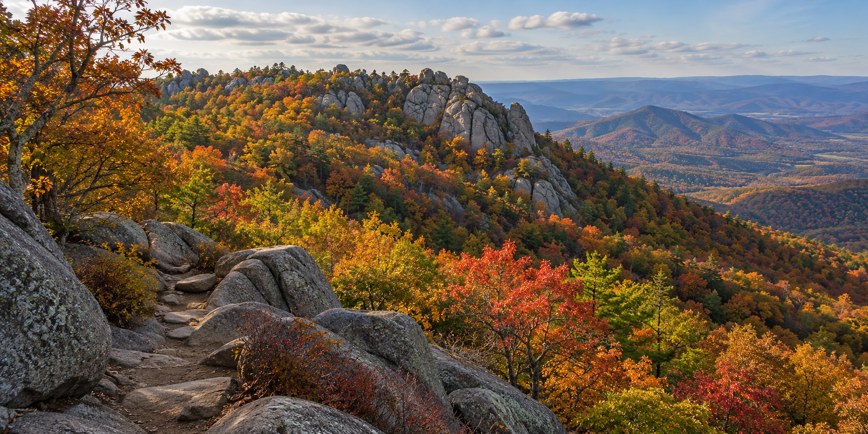
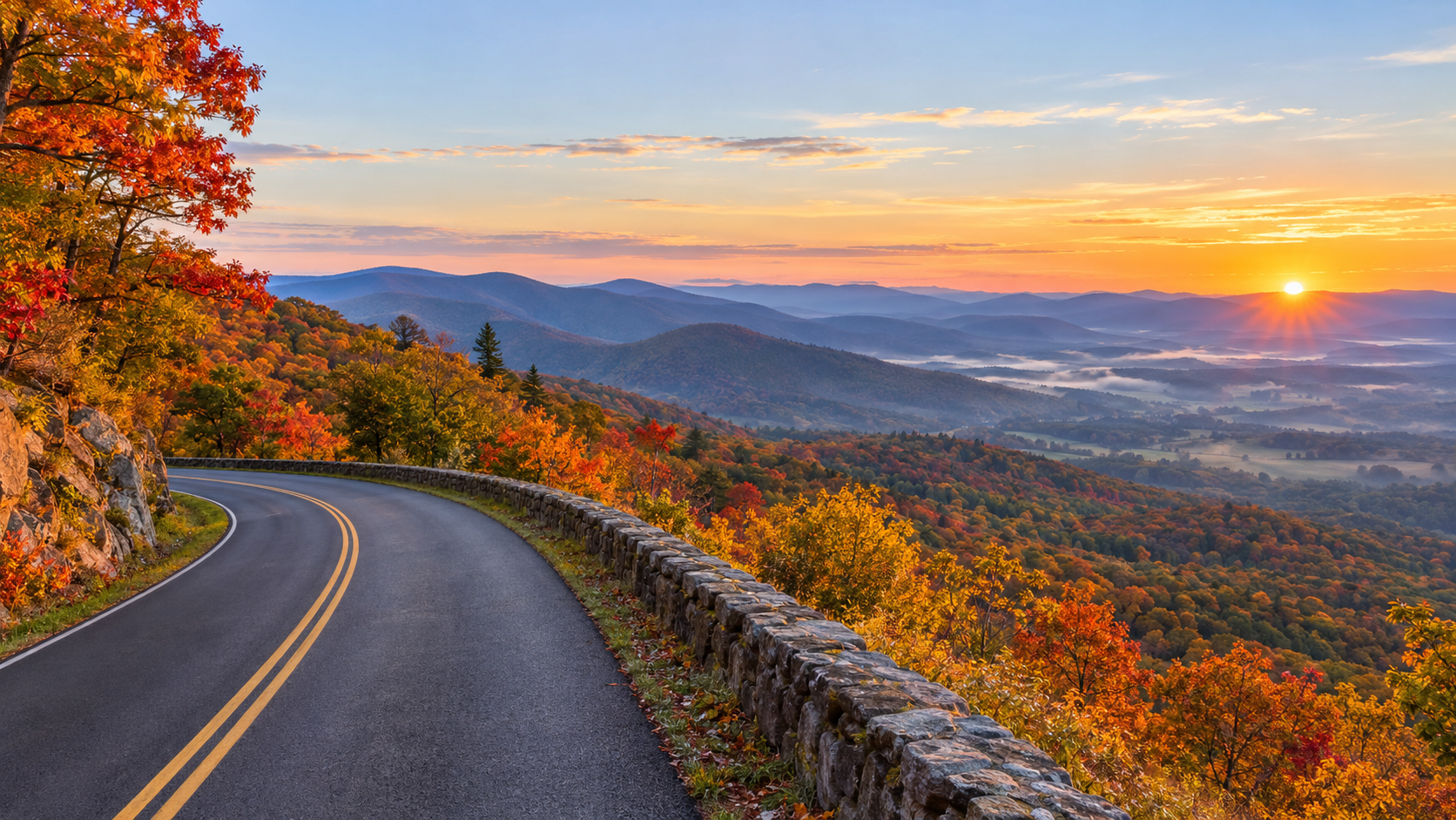
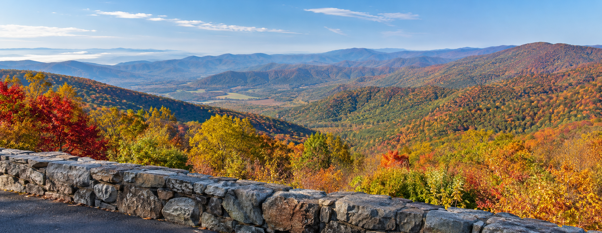
Skyline Drive curves through vivid autumn foliage above layered Blue Ridge mountains in Shenandoah National Park

Shenandoah National Park is entering its busiest fall stretch with color changing across different elevations, but the smartest 2026 trip is about more than choosing a predicted peak date. Skyline Drive traffic, limited parking, fast-changing weather and several current closures can reshape a day before the first overlook.

The National Park Service posted its latest fall update on October 8, while an active backcountry closure began October 7. Old Rag visitors also face a construction-related parking change through November. Here is how to plan a useful fall visit now, including what to check, which entrance strategy can save time and why a backup route matters.

Shenandoah fall 2026 quick take

  • Latest official update: Shenandoah’s October 8 fall broadcast includes the current color report; use it with the park’s 2026 photo gallery and webcams rather than relying on one predicted peak date.
  • Skyline Drive: the park’s only public road runs 105 miles and takes about three hours to drive without long stops or heavy traffic.
  • Fall crowds: weekends bring long entrance lines, full overlooks and limited trailhead parking. Weekdays and early starts are the most reliable strategy.
  • Old Rag: a $2 day-use ticket is required from March 1 through November 30 in addition to the park entrance fee, but the ticket does not guarantee parking.
  • Old Rag parking: the main trailhead lot is closed for construction through November 2026; visitors must use the available overflow lots.
  • Current closure: the Naked Creek backcountry zone has been closed until further notice since October 7 because of recent wildlife interactions.
  • Payment: Shenandoah’s entrance stations are fully cashless and accept cards or mobile payments.

Where fall color is changing now

Where fall color is changing now

Shenandoah does not have one park-wide peak day. The park stretches for more than 100 miles and includes major changes in elevation, exposure and tree mix, so color can look different at two overlooks on the same afternoon. Higher and cooler locations may turn before lower slopes and nearby valleys.

The most dependable way to assess the 2026 season is to combine Shenandoah’s weekly fall broadcast with its official photo gallery and live webcams. The October 8 update is the newest park-produced report available for this weekend. Check again shortly before leaving because wind, rain and a cold night can change the canopy quickly.

Treat any third-party peak date as a planning estimate, not a promise. If a high ridge has passed its best color, lower elevations may still be improving. A flexible route is more useful than building the entire trip around one overlook.

How to drive Skyline Drive without losing the day to traffic

Skyline Drive follows the crest of the Blue Ridge for 105 miles. The posted speed limit is generally 35 mph, wildlife frequently crosses the road and the National Park Service says the full drive takes about three hours even before scenic stops. In fall, overlook congestion can add much more time.

Front Royal and Thornton Gap are the two busiest entrances. On a crowded weekend, consider entering at Swift Run Gap on Route 33 or Rockfish Gap on Route 64, then driving only the section that fits your day. A shorter out-and-back or one-way section with a lowland return route can be more enjoyable than forcing all 105 miles.

Arrive early, buy the entrance pass before the trip and keep an alternate overlook or trail in mind. If a parking area is full, continue to the next legal space. Parking partly on the roadway, blocking a gate or using private property can result in a tow and creates a safety hazard.

Skyline Drive planning numbers

  • Length: 105 miles from Front Royal to Rockfish Gap.
  • Typical nonstop driving time: about three hours in clear conditions.
  • Speed limit: 35 mph in most areas.
  • Road status: generally open around the clock, but sections or the entire road may close for severe weather.
  • Live alerts: text SHENALERTS to 888777 for closure and reopening notifications.
  • Fuel: the park lists only one gas station, at Big Meadows Wayside near mile 51, so fill up before entering.
  • Tunnel clearance: Marys Rock Tunnel at mile 32.2 has a maximum clearance of 12 feet 8 inches.

Old Rag needs both a ticket and a parking plan

Old Rag needs both a ticket and a parking plan

Anyone entering the Old Rag ticket area on the Ridge, Saddle or Ridge Access trails needs a day-use ticket from March 1 through November 30. The $2 ticket is separate from the Shenandoah entrance fee or pass. Tickets are released in two groups: 400 thirty days ahead and 400 five days ahead, both at 10 a.m.

The 2026 parking project is the bigger practical complication. The main Old Rag trailhead lot is closed to vehicles and pedestrians while infrastructure work continues, with completion expected in November. Overflow parking remains available, but fall weekends—especially Saturdays—can fill even when a hiker already has a ticket.

Reserve online before driving to the trailhead because cellular service is unreliable. Carry a screenshot or printed copy, bring the matching photo ID and carpool when possible. A reservation confirms access to the ticketed area; it does not reserve a parking space or guarantee that weather and trail conditions will be safe.

Current closures and cautions to check before leaving

  • Naked Creek backcountry zone: closed until further notice as of October 7 because of recent wildlife interactions.
  • Skyline Drive: weather can close individual sections or the entire road on short notice; use official alerts rather than an old screenshot.
  • Boundary access parking: use designated spaces only and follow posted restrictions, including the approach to Thompson Hollow.
  • Old Rag main parking lot: closed during the 2026 improvement project; use the designated overflow lots.
  • Backcountry plans: confirm zones, permits and closures on the day of departure. Do not route around a closure using an unofficial path.

The Naked Creek closure is localized, not a park-wide shutdown. Most visitors can still use Skyline Drive, visitor centers and other open trails, but anyone with a backcountry itinerary near the closed zone should choose a different legal route.

What remains open during the fall season

Shenandoah is open year-round, but visitor services close on different dates. The National Park Service lists Dickey Ridge Visitor Center through November 1, while Byrd Visitor Center is open year-round. Elkwallow Wayside and Skyland are scheduled through November 8, and Big Meadows Lodge and Big Meadows Wayside through November 29.

Hours and operating dates can change with staffing, utilities or weather. Carry food and water even when a concession is listed as open, and do not assume every campground has a walk-up site. Fall weekends often book months ahead, while first-come sites can fill by Thursday evening.

A practical one-day Shenandoah fall itinerary

Start before the busiest entrance rush and enter through the gate that best matches the section you want to see—not automatically the closest northern gate. Stop at a few legal overlooks rather than every pullout, then use a visitor center or wayside around midday for current conditions, restrooms and a route check.

Choose one short hike with parking alternatives instead of combining multiple famous trailheads. Stony Man, Dark Hollow Falls and other popular areas can fill early, so keep a less crowded option ready and turn around if conditions, daylight or parking no longer support the plan.

Finish with a south- or west-facing overlook if space is available, but leave before fatigue and darkness make wildlife crossings harder to see. Download maps before entering the park and tell someone your route because mobile service is unreliable along much of Skyline Drive.

What to pack for a fall day

  • Warm layers and a wind-resistant shell; ridge temperatures can feel much colder than the valley.
  • Water and food for the full day, plus a small reserve in case traffic or a closure delays the drive.
  • Offline maps, a charged power bank and a paper backup.
  • A headlamp, even for a planned daytime hike, because fall daylight ends earlier than many visitors expect.
  • Sturdy footwear and basic first-aid supplies.
  • A printed or saved entrance pass, Old Rag ticket and photo ID when applicable.

The waterproof National Geographic Shenandoah National Park map covers Skyline Drive, trails, campgrounds and key park areas and is useful when cell service disappears. Check the National Geographic Shenandoah map on Amazon before the trip.

As an Amazon Associate, ReaderSpice earns from qualifying purchases.

The bottom line

Shenandoah’s fall season rewards flexibility. Use the October 8 official update and current webcams to choose an elevation, enter through the least congested practical gate, and plan only the Skyline Drive section you can enjoy without rushing.

Old Rag requires extra preparation in 2026 because a valid ticket does not solve the reduced-parking problem. The Naked Creek closure also shows why every backcountry plan needs a same-day conditions check. With an early start, a backup route and realistic expectations, the park can still deliver a strong fall day without turning the trip into a traffic contest.

Sources

National Park Service: Shenandoah Fall Updates — October 8, 2026

National Park Service: 2026 Shenandoah Fall Color Reports

National Park Service: Fall in Shenandoah planning guidance

National Park Service: Driving Skyline Drive

National Park Service: Shenandoah alerts and current conditions

National Park Service: Old Rag day-use ticket and parking details

National Park Service: Naked Creek backcountry zone closure

National Park Service: 2026 operating dates and facility hours

Grand Canyon North Rim Fall Guide: Peak Foliage, Closures and What’s Open

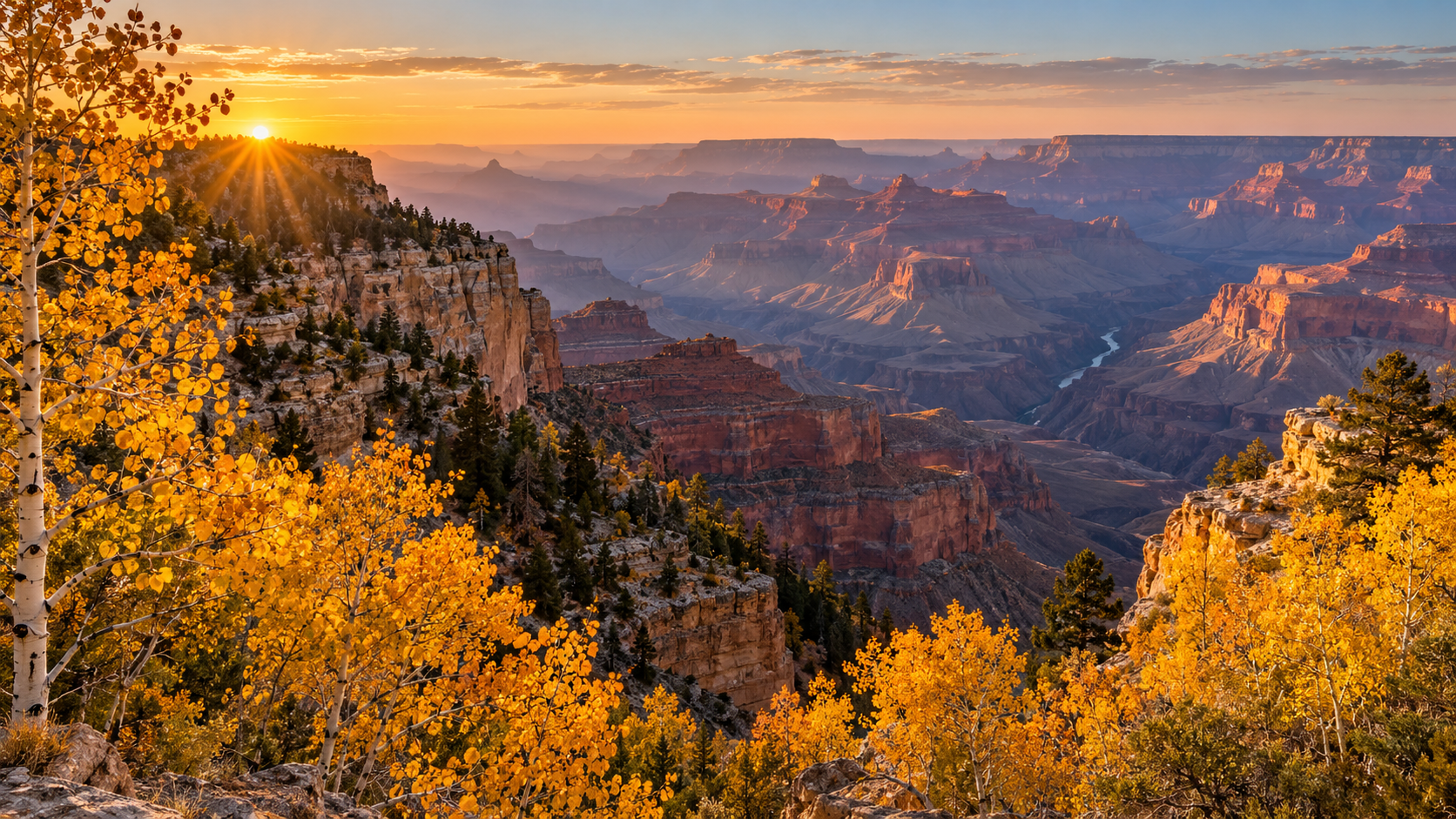
Golden aspens frame a sunrise view across the Grand Canyon from the North Rim in fall.

Fall color is peaking across the Grand Canyon’s higher country, but the North Rim’s best foliage window is also colliding with a fast-changing service calendar. Travelers arriving in early October can still pair golden aspens on the Kaibab Plateau with wide canyon overlooks—provided they bring their own food, water and fuel and check conditions before the drive.

The key planning date is October 15, 2026. That is when several North Rim services close and road-repair work temporarily shuts Cape Royal Road and Point Imperial Road. The entrance remains scheduled to stay open through November 30 or the first major snowstorm, but access after mid-October becomes a more self-sufficient, weather-dependent trip.

Why early October is the North Rim’s best fall window

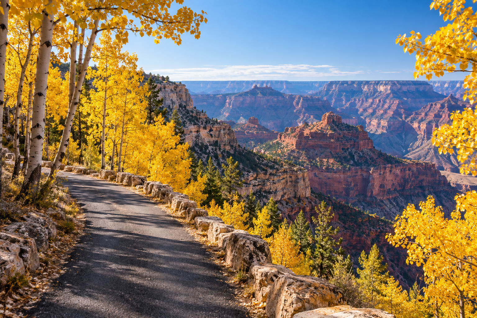
Arizona’s weekly visitor update reported peak fall color around the North Rim and Kaibab Plateau for the first weekend of October. Aspens along State Route 67 and the Point Imperial corridor turn bright yellow, while the South Rim’s Gambel oaks tend toward copper and amber.

The timing is unusually favorable for a scenic drive: the leaves are near their seasonal high point, daytime temperatures are generally more comfortable than summer, and the North Rim remains reachable by road. The tradeoff is that nights can be cold, weather can turn quickly, and services are already limited.

North Rim: Peak foliage and a short access window

North Rim: Peak foliage and a short access window

The North Rim is the quieter, more remote side of Grand Canyon National Park. In 2026 there is no overnight lodging inside the North Rim developed area, potable water is unavailable, and the in-park gas station closed September 19. Visitors should fuel in the gateway area, carry more drinking water than they expect to use, and pack meals rather than counting on a last-minute purchase.

The National Park Service’s current North Rim status page says State Route 67 and the entrance are expected to remain open until November 30 or the first major snowstorm. That does not mean the full summer experience continues until then: individual services and roads close earlier, and emergency response is limited as the season winds down.

What closes on October 15

  • Cape Royal Road and Point Imperial Road close at sunset October 15 for road repairs and are scheduled to reopen at sunrise November 3, weather permitting.
  • The North Rim Backcountry Information Center closes at noon October 15.
  • The General Store closes at 4 p.m. October 15.
  • The North Rim Campground closes the morning of October 16.
  • The North Kaibab Trail remains closed following the August 29 flash flood. Several other trails and backcountry areas also remain closed, so hikers should review the live park status page rather than relying on an older map or itinerary.

South Rim: The reliable backup after North Rim services close

South Rim: The reliable backup after North Rim services close

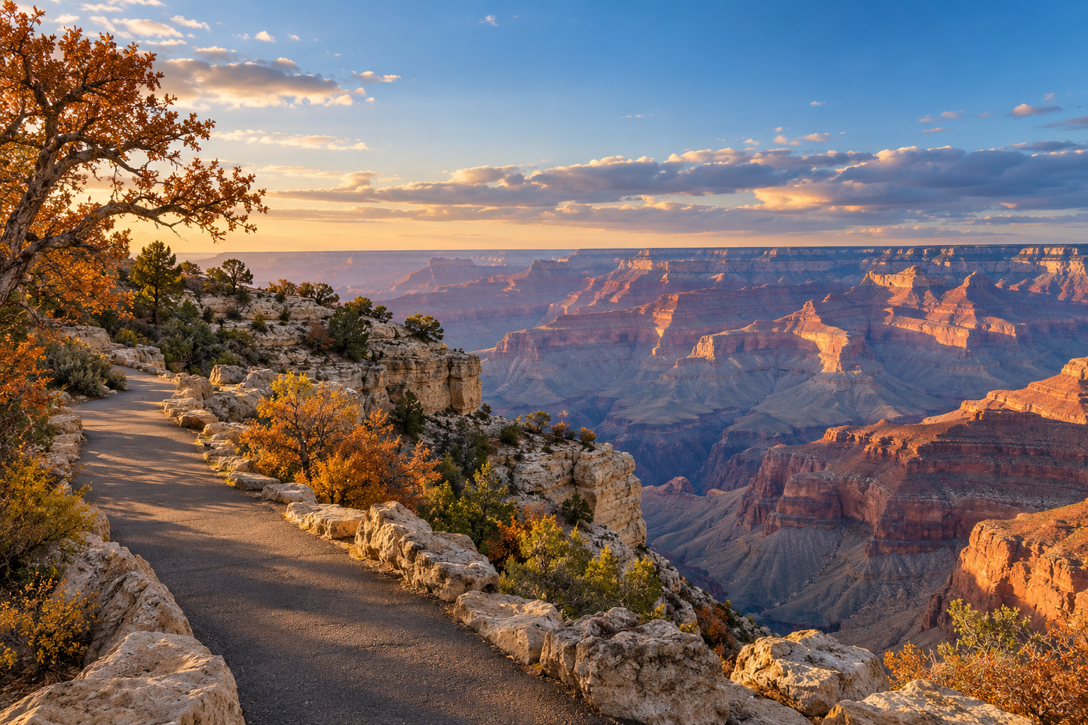
The South Rim stays open year-round and is the safer choice for travelers who want dependable access later in the season. Fall color is subtler here than in the North Rim’s aspen groves, but coppery Gambel oaks can add warm color along sections of the Rim Trail and around wooded overlooks.

Do not treat the two rims as quick stops on the same day. Driving between them takes about 4.5 hours each way under normal conditions because the route circles the canyon. If North Rim roads or services no longer fit your plan, choose the South Rim as a separate base instead of trying to improvise a cross-canyon drive.

What is open—and what is not

  • North Rim entrance and State Route 67: scheduled to remain open through November 30 or the first major snowstorm, subject to weather and road conditions.
  • Cape Royal and Point Imperial roads: open before the October 15 sunset closure, then unavailable until the planned November 3 reopening.
  • North Rim lodging: no overnight lodging inside the park in 2026.
  • North Rim camping: the park campground closes October 16; DeMotte Campground outside the park is listed as first-come, first-served through October 31, conditions permitting.
  • North Kaibab Trail: closed. Check the park’s current closures before any hike.
  • South Rim: open year-round, with services and conditions varying by season.

A practical one-day North Rim plan

Arrive shortly after sunrise, when low light makes both the aspens and canyon walls more dramatic and traffic is lighter. Start with roadside foliage along State Route 67, then continue to the developed area and the viewpoints that are confirmed open that morning.

Before October 15, Point Imperial and Cape Royal can anchor a full scenic-driving day. Allow more time than the mileage suggests: narrow roads, wildlife, photo stops and brief walks make progress slow. After October 15, those roads are not an option until the planned November 3 reopening, so build the day around the developed-area overlooks and any routes the park confirms as open.

Eat a packed lunch, keep an eye on the sky and leave enough daylight for the return drive. Cell service is inconsistent, so download maps and save the park’s current-conditions page before leaving the gateway communities.

Pack for self-sufficient travel

  • At least one gallon of drinking water per person for a full day, plus reserve water.
  • Meals and snacks that do not depend on park concessions.
  • Warm layers, a rain shell, sun protection and sturdy footwear.
  • A full fuel tank and a realistic range plan before entering the park.
  • Offline navigation and a paper backup map.
  • A flashlight, basic first-aid supplies and a charged power bank.

A waterproof National Geographic Grand Canyon trail map is useful for orientation and as an offline backup. As an Amazon Associate, ReaderSpice may earn from qualifying purchases.

Should you go before or after October 15?

Go before October 15 if your priority is peak foliage and access to the Point Imperial and Cape Royal corridors. You will still need to arrive self-sufficient, but the scenic-road options are broader and the final seasonal services have not yet closed.

Go after October 15 only if you are comfortable with modified operations, short-notice weather changes and fewer destinations. The entrance may remain open, but the scenic roads are scheduled to be unavailable until November 3, and an early snowstorm can end the North Rim season before November 30.

Whichever rim you choose, verify the National Park Service’s alerts and North Rim status on the morning of departure. In fall, a plan that was sensible a week ago may no longer match current road, trail or weather conditions.

Sources

National Park Service: Modified Fall Operations Begin at Grand Canyon’s North Rim Oct. 15

National Park Service: North Rim Status and Closures

National Park Service: Directions and Travel to the North Rim

Arizona Office of Tourism: Grand Canyon Area Weekly Visitor Access Update, Oct. 2, 2026

National Park Service: Grand Canyon Alerts and Current Conditions

10 Beautiful Fall Road Trips in the U.S. for 2026: Where to See the Best Autumn Colors

Fall road trips have a special kind of magic. Cooler temperatures make long drives more comfortable, summer crowds begin to thin, and forests across the United States turn into sweeping landscapes of red, orange, gold, and yellow. The challenge is timing your trip well: peak color can shift from year to year depending on elevation, latitude, temperature, rainfall, and local weather.

If you are planning an autumn getaway in 2026, these ten routes offer a mix of mountain scenery, national parks, lakeshores, small towns, and classic American highways. Instead of treating peak foliage dates as guarantees, use the timing below as a planning window and check local foliage reports shortly before leaving.

1. Blue Ridge Parkway — Virginia and North Carolina

Few American roads are as closely associated with fall as the Blue Ridge Parkway. The route winds through the Appalachian Mountains between Virginia and North Carolina, giving travelers repeated overlooks, forested ridges, hiking opportunities, and access to communities throughout the region.

The National Park Service highlights the Blue Ridge Parkway as one of the country’s standout places for autumn color. Because the parkway covers a long distance and major changes in elevation, color does not peak everywhere at once. That can actually help road trippers: if one elevation has passed peak, another part of the route may still be approaching its best color.

Best for: Mountain overlooks, photography, hiking, and a multi-day scenic drive.

2. Skyline Drive and Shenandoah National Park — Virginia

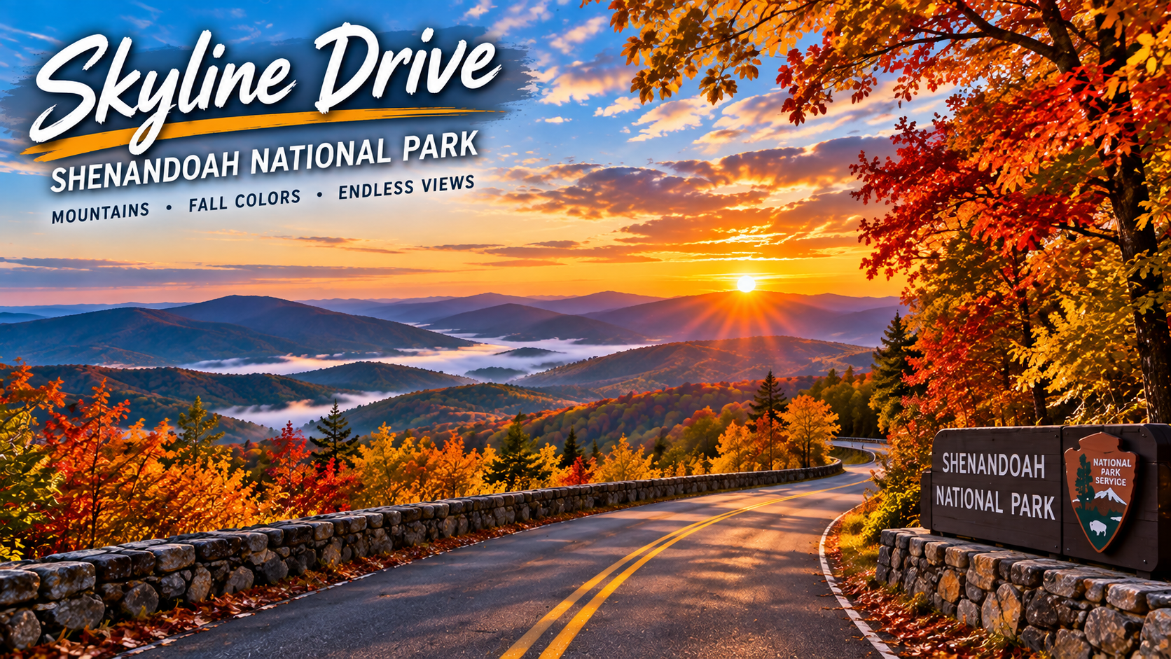
Skyline Drive runs through Shenandoah National Park and is one of the easiest ways to experience a broad Appalachian fall landscape from the car. The National Park Service describes Shenandoah as particularly well known for fall color, with views across valleys and forested mountains.

Build extra time into the drive. The best experience is not simply reaching the other end; it is stopping at overlooks, taking a short trail, and watching the landscape change as the road gains and loses elevation. Travelers coming from the Washington, D.C. region can also turn Shenandoah into a manageable weekend road trip.

Best for: A weekend getaway, panoramic overlooks, and easy access from the Mid-Atlantic.

3. Great Smoky Mountains — Tennessee and North Carolina

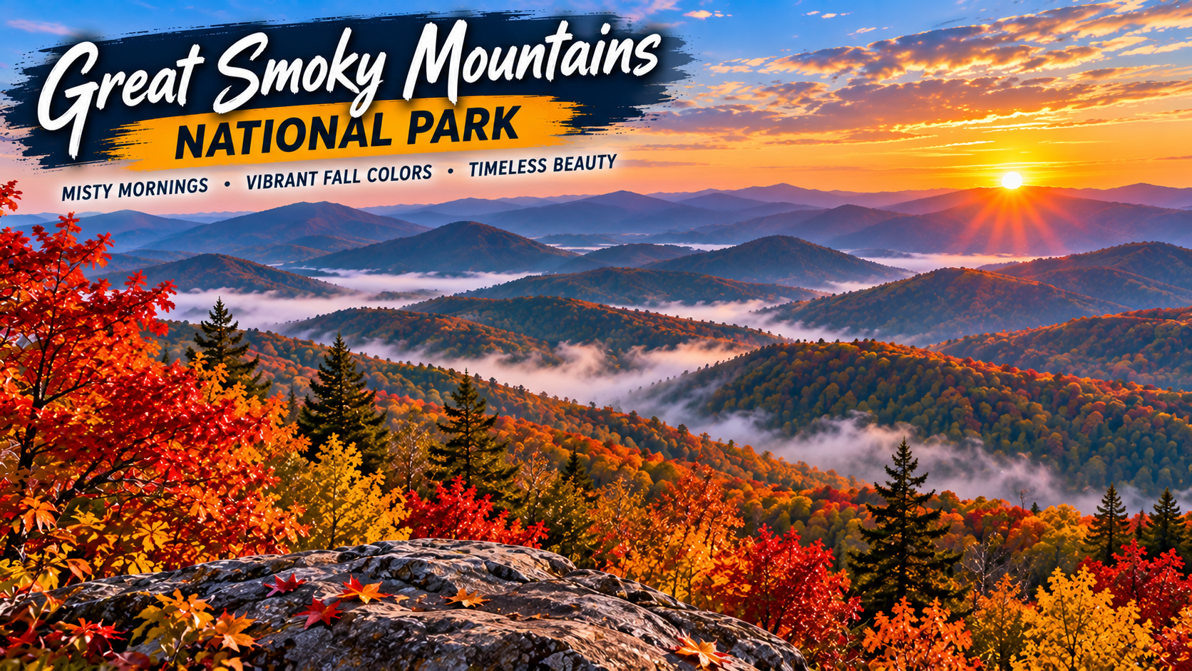
Great Smoky Mountains National Park combines dense forests, mountain roads, streams, and one of the most diverse fall landscapes in the Southeast. The National Park Service specifically recommends autumn drives and hikes in the park, including options that can help visitors explore beyond the busiest areas.

Elevation matters here. Higher areas can begin changing earlier while lower valleys often hold their color later. That extended transition gives travelers a wider opportunity to see foliage than a destination where everything changes at roughly the same time.

Best for: Families, mountain drives, hiking, and combining scenery with a longer Tennessee or North Carolina trip.

4. Kancamagus Highway — New Hampshire

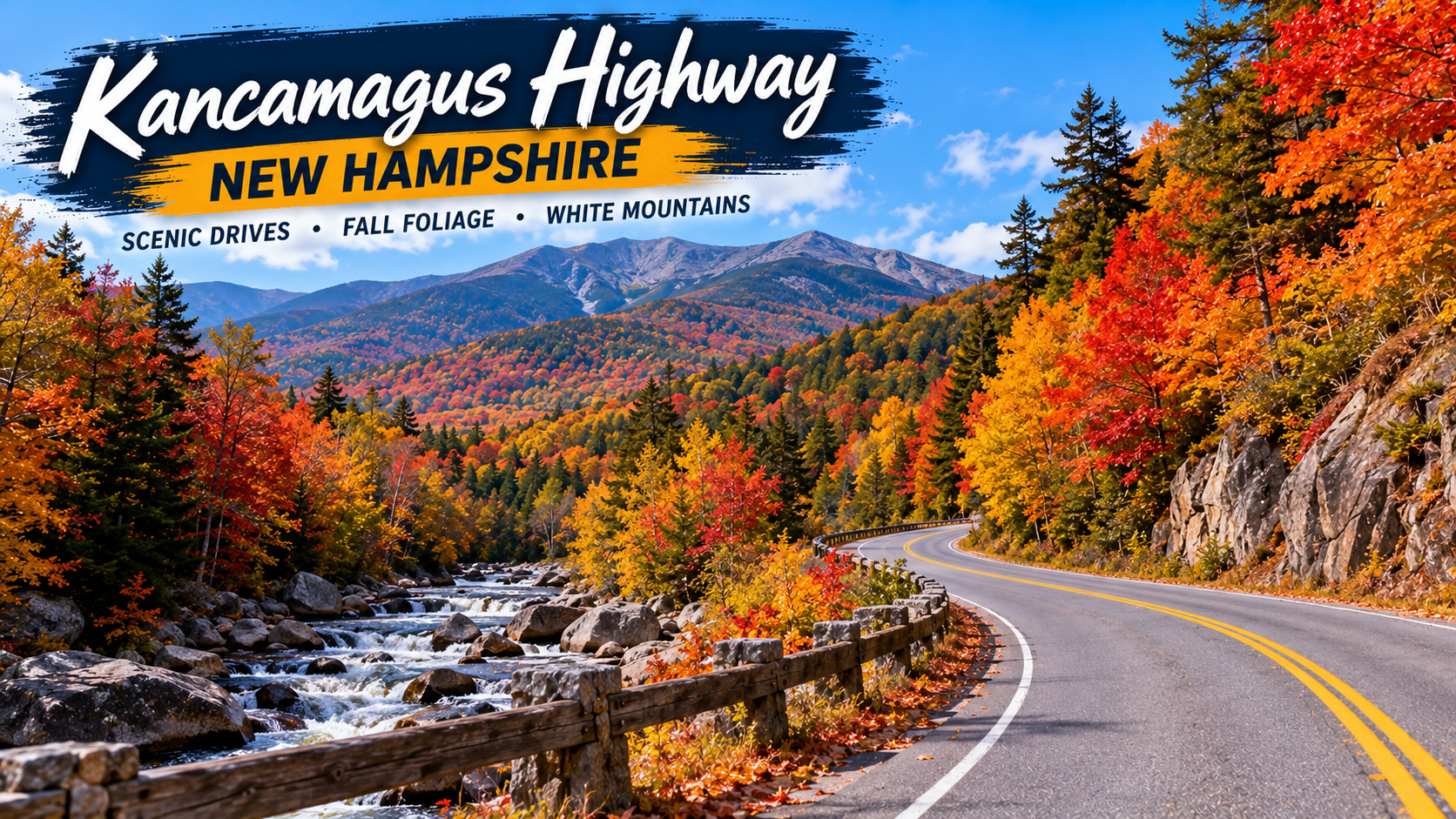
New Hampshire’s Kancamagus Highway, often called “the Kanc,” is a classic New England foliage drive through the White Mountains. Visit New Hampshire describes the scenic stretch as 34.5 miles long and warns that there are no gas stations along the route and little to no cell service in places.

The drive can be completed quickly when traffic is light, but peak foliage season can dramatically increase travel time. Fill the tank before entering the route, download offline maps, and leave enough time for overlooks and short walks rather than trying to rush through.

Best for: Classic New England color, mountain scenery, and a compact one-day road trip.

5. Acadia National Park and Park Loop Road — Maine

Acadia offers something different from an inland forest drive: autumn foliage alongside lakes, granite mountains, and the Maine coast. The National Park Service says the park’s 27-mile Park Loop Road passes forests, lakes, mountains, shoreline scenery, overlooks, picnic areas, and trailheads.

A fall trip can combine the loop with stops around Jordan Pond, Otter Point, and other well-known areas. Check current park conditions and any vehicle-reservation requirements that apply to specific destinations before traveling.

Best for: Coastal scenery, photography, hiking, and travelers who want fall color plus ocean views.

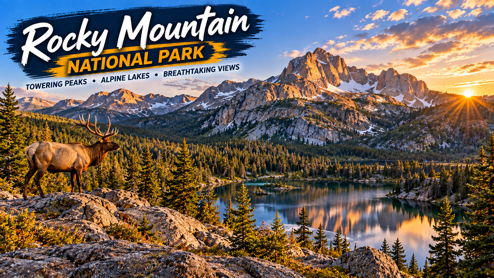
6. Rocky Mountain National Park — Colorado

Colorado’s autumn palette is different from the dense red-and-orange forests of the East. In Rocky Mountain National Park, golden aspens stand out against evergreens and high mountain terrain. The National Park Service notes that fall color progresses down the mountains from higher subalpine areas toward lower elevations.

Weather can change quickly in the Rockies, particularly as autumn advances. Check road conditions before setting out, carry layers, and avoid assuming that a warm afternoon at lower elevation means conditions will be the same higher in the park.

Best for: Golden aspens, dramatic mountain backdrops, wildlife viewing, and high-elevation scenery.

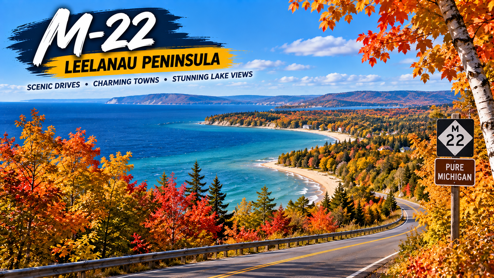
7. M-22 and the Leelanau Peninsula — Michigan

Michigan is easy to overlook when planning a national fall road trip, but its combination of hardwood forests and Great Lakes shoreline makes it a strong autumn destination. Pure Michigan highlights M-22 along the Leelanau Peninsula for its fall color and glimpses of Lake Michigan.

Michigan’s color generally progresses from north to south, with the Upper Peninsula changing before much of the Lower Peninsula. That makes a current foliage map especially useful when deciding exactly where to drive. M-22 works well for travelers who want colorful roads without giving up lake views and small-town stops.

Best for: Great Lakes scenery, small towns, shoreline drives, and Midwest road trips.

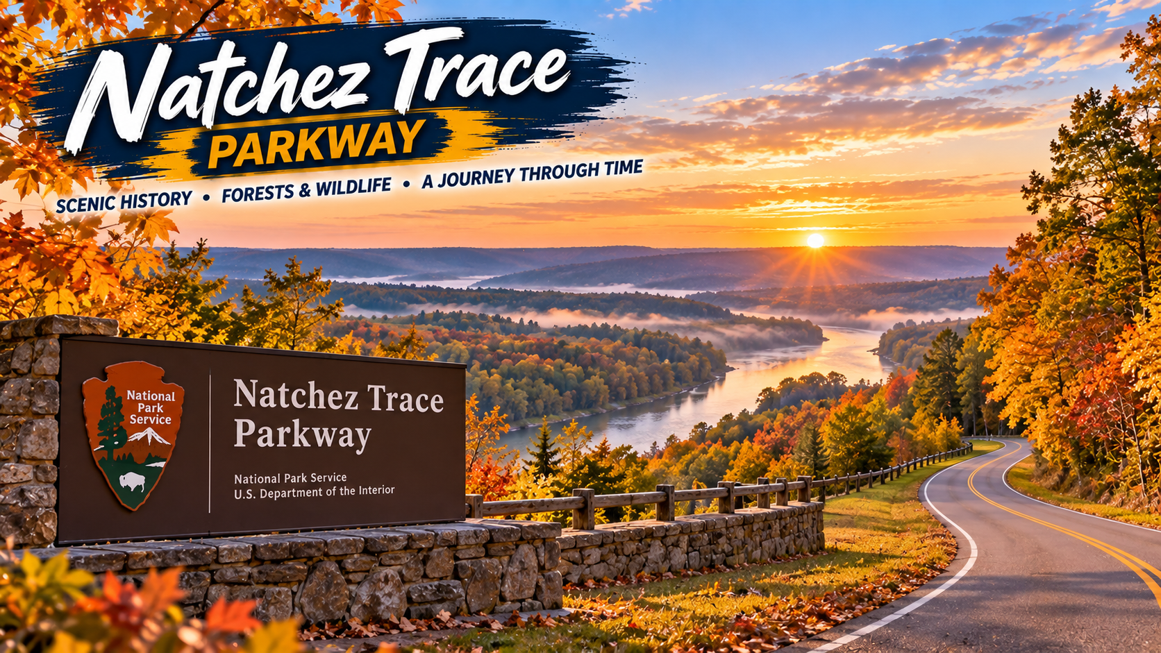
8. Natchez Trace Parkway — Mississippi, Alabama, and Tennessee

For a slower-paced Southern fall drive, the Natchez Trace Parkway offers a long corridor through Mississippi, Alabama, and Tennessee. The National Park Service recommends the parkway for its crimson foliage and autumn atmosphere.

This is a good choice for travelers who prefer a road-trip experience built around the journey itself. Rather than chasing a single famous viewpoint, plan a series of short stops and allow the route’s forests and historic landscape to set the pace.

Best for: Relaxed driving, Southern scenery, and travelers who prefer a less mountainous route.

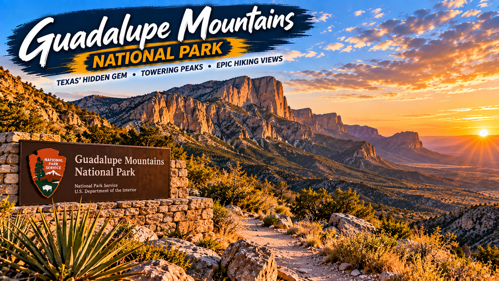
9. Guadalupe Mountains National Park — Texas

Texas may not be the first state that comes to mind for fall foliage, but Guadalupe Mountains National Park gives Texans a late-season option. According to the National Park Service, leaves in the Guadalupe Mountains usually begin changing from mid-October through mid-November, making the park one of the later opportunities on this list.

For travelers starting in Texas, it can also be an appealing alternative to flying across the country just to see autumn color. Remember that this is rugged desert-and-mountain country, so check trail, weather, water, and road information before departure.

Best for: Texas road trippers, late-season color, hiking, and desert-meets-mountain scenery.

10. A Michigan Upper Peninsula Fall Drive

If you want a longer northern adventure, Michigan’s Upper Peninsula can deliver an entirely different scale of fall scenery. Pure Michigan notes that color arrives earlier in the Upper Peninsula than in the Lower Peninsula and highlights routes such as the Black River National Forest Scenic Byway near Lake Superior.

The Upper Peninsula is best treated as a multi-day trip rather than a quick drive. Distances can be substantial, weather can shift, and the temptation to stop for waterfalls, lake views, forest roads, and overlooks will slow you down — in a good way.

Best for: Multi-day adventures, waterfalls, Lake Superior scenery, and travelers who want to get away from major cities.

When Is the Best Time for a Fall Road Trip?

There is no single nationwide peak-foliage week. Northern destinations and high elevations generally begin changing earlier, while southern and lower-elevation destinations can hold color later. New Hampshire’s official foliage guidance says northern parts of the state historically begin showing color around mid-September, with the White Mountains following later in September. In Texas, the National Park Service says Guadalupe Mountains typically changes much later, from roughly mid-October into mid-November.

For 2026, treat historical timing as a starting point rather than a promise. Check an official park page, state tourism foliage tracker, road conditions, and the weather forecast during the week before your trip.

What to Pack for a Fall Road Trip

Autumn road trips can involve warm afternoons, cold mornings, rain, wind, and occasionally early snow at higher elevations. A few practical items can make the drive easier:

• A reliable phone mount for navigation

• A USB-C car charger or portable power bank

• Refillable water bottles and a small travel cooler

• A compact first-aid and roadside emergency kit

• Layers, including a light insulated jacket and rain shell

• Comfortable walking or hiking shoes

• A flashlight or headlamp

• Offline maps for areas with weak cellular coverage

If you are building your road-trip kit, check current travel essentials on Amazon before you leave. Prices and availability can change, so compare options based on your vehicle, trip length, and destination.

How to Make the Most of Your Fall Drive

Start early. Popular foliage routes can become crowded by late morning, especially on weekends. Sunrise and early-morning light can also produce some of the best photography.

Download maps before leaving reliable cellular coverage, keep the fuel tank comfortably above empty, and avoid stopping on road shoulders unless parking is explicitly permitted. Use designated overlooks and pullouts instead.

Most importantly, keep your itinerary flexible. Fall color is a natural event, not a scheduled attraction. A route that is slightly before or after peak can still be beautiful, and changing your elevation or driving an hour north or south may completely change what you see.

Final Thoughts

The best fall road trip is not necessarily the route with the most famous foliage. It is the one that fits your timing, driving distance, preferred scenery, and available days. The Blue Ridge Parkway and Shenandoah deliver classic Appalachian views; the Kancamagus Highway and Acadia provide a quintessential New England experience; Rocky Mountain National Park brings golden aspens and dramatic peaks; Michigan mixes hardwood color with Great Lakes scenery; and Guadalupe Mountains gives Texas travelers a later-season option.

Choose a route, watch the local foliage reports, and leave room in the schedule for unexpected stops. In autumn, the detours are often the part of the trip you remember most.

Sources

National Park Service — Autumn in National Parks

Visit New Hampshire — Ultimate NH Fall Foliage Road Trip Guide

National Park Service — Acadia Park Loop Road

Pure Michigan — Fall Color in Pure Michigan

Pure Michigan — Beautiful Places in Michigan to Visit in the Fall