
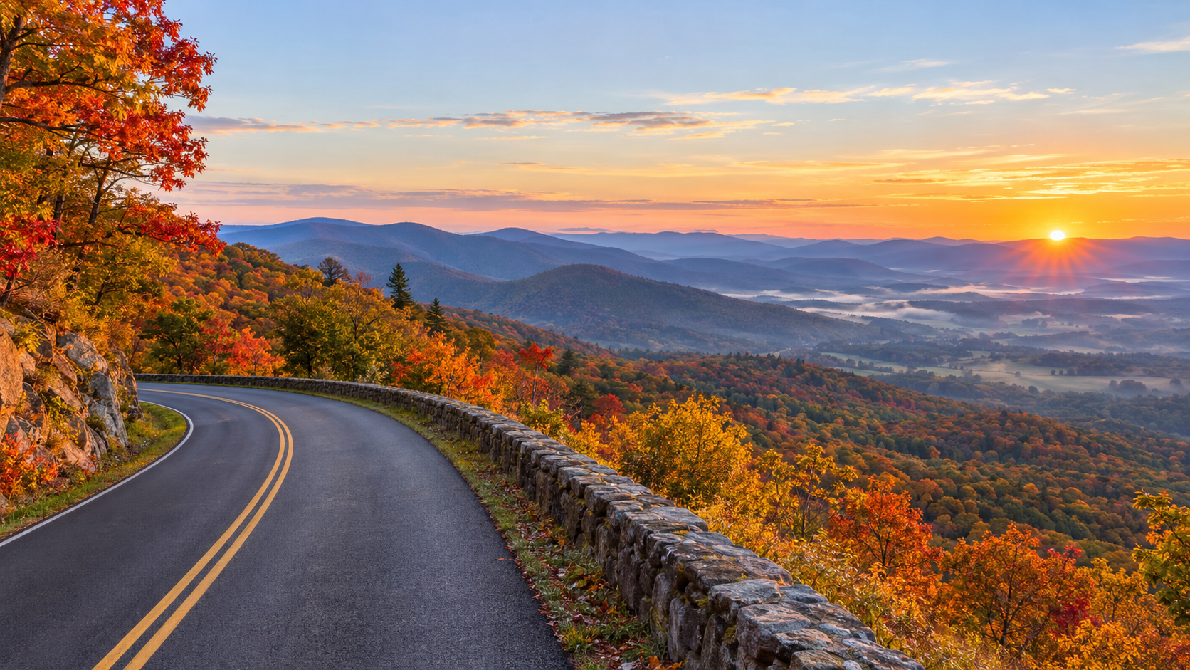
Shenandoah National Park is entering its busiest fall stretch with color changing across different elevations, but the smartest 2026 trip is about more than choosing a predicted peak date. Skyline Drive traffic, limited parking, fast-changing weather and several current closures can reshape a day before the first overlook.
The National Park Service posted its latest fall update on October 8, while an active backcountry closure began October 7. Old Rag visitors also face a construction-related parking change through November. Here is how to plan a useful fall visit now, including what to check, which entrance strategy can save time and why a backup route matters.
Shenandoah fall 2026 quick take
- Latest official update: Shenandoah’s October 8 fall broadcast includes the current color report; use it with the park’s 2026 photo gallery and webcams rather than relying on one predicted peak date.
- Skyline Drive: the park’s only public road runs 105 miles and takes about three hours to drive without long stops or heavy traffic.
- Fall crowds: weekends bring long entrance lines, full overlooks and limited trailhead parking. Weekdays and early starts are the most reliable strategy.
- Old Rag: a $2 day-use ticket is required from March 1 through November 30 in addition to the park entrance fee, but the ticket does not guarantee parking.
- Old Rag parking: the main trailhead lot is closed for construction through November 2026; visitors must use the available overflow lots.
- Current closure: the Naked Creek backcountry zone has been closed until further notice since October 7 because of recent wildlife interactions.
- Payment: Shenandoah’s entrance stations are fully cashless and accept cards or mobile payments.
Where fall color is changing now
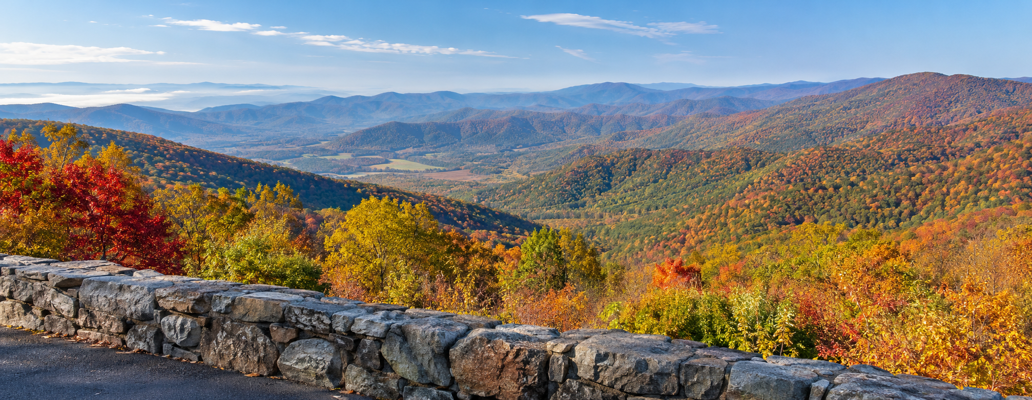
Shenandoah does not have one park-wide peak day. The park stretches for more than 100 miles and includes major changes in elevation, exposure and tree mix, so color can look different at two overlooks on the same afternoon. Higher and cooler locations may turn before lower slopes and nearby valleys.
The most dependable way to assess the 2026 season is to combine Shenandoah’s weekly fall broadcast with its official photo gallery and live webcams. The October 8 update is the newest park-produced report available for this weekend. Check again shortly before leaving because wind, rain and a cold night can change the canopy quickly.
Treat any third-party peak date as a planning estimate, not a promise. If a high ridge has passed its best color, lower elevations may still be improving. A flexible route is more useful than building the entire trip around one overlook.
How to drive Skyline Drive without losing the day to traffic
Skyline Drive follows the crest of the Blue Ridge for 105 miles. The posted speed limit is generally 35 mph, wildlife frequently crosses the road and the National Park Service says the full drive takes about three hours even before scenic stops. In fall, overlook congestion can add much more time.
Front Royal and Thornton Gap are the two busiest entrances. On a crowded weekend, consider entering at Swift Run Gap on Route 33 or Rockfish Gap on Route 64, then driving only the section that fits your day. A shorter out-and-back or one-way section with a lowland return route can be more enjoyable than forcing all 105 miles.
Arrive early, buy the entrance pass before the trip and keep an alternate overlook or trail in mind. If a parking area is full, continue to the next legal space. Parking partly on the roadway, blocking a gate or using private property can result in a tow and creates a safety hazard.
Skyline Drive planning numbers
- Length: 105 miles from Front Royal to Rockfish Gap.
- Typical nonstop driving time: about three hours in clear conditions.
- Speed limit: 35 mph in most areas.
- Road status: generally open around the clock, but sections or the entire road may close for severe weather.
- Live alerts: text SHENALERTS to 888777 for closure and reopening notifications.
- Fuel: the park lists only one gas station, at Big Meadows Wayside near mile 51, so fill up before entering.
- Tunnel clearance: Marys Rock Tunnel at mile 32.2 has a maximum clearance of 12 feet 8 inches.
Old Rag needs both a ticket and a parking plan
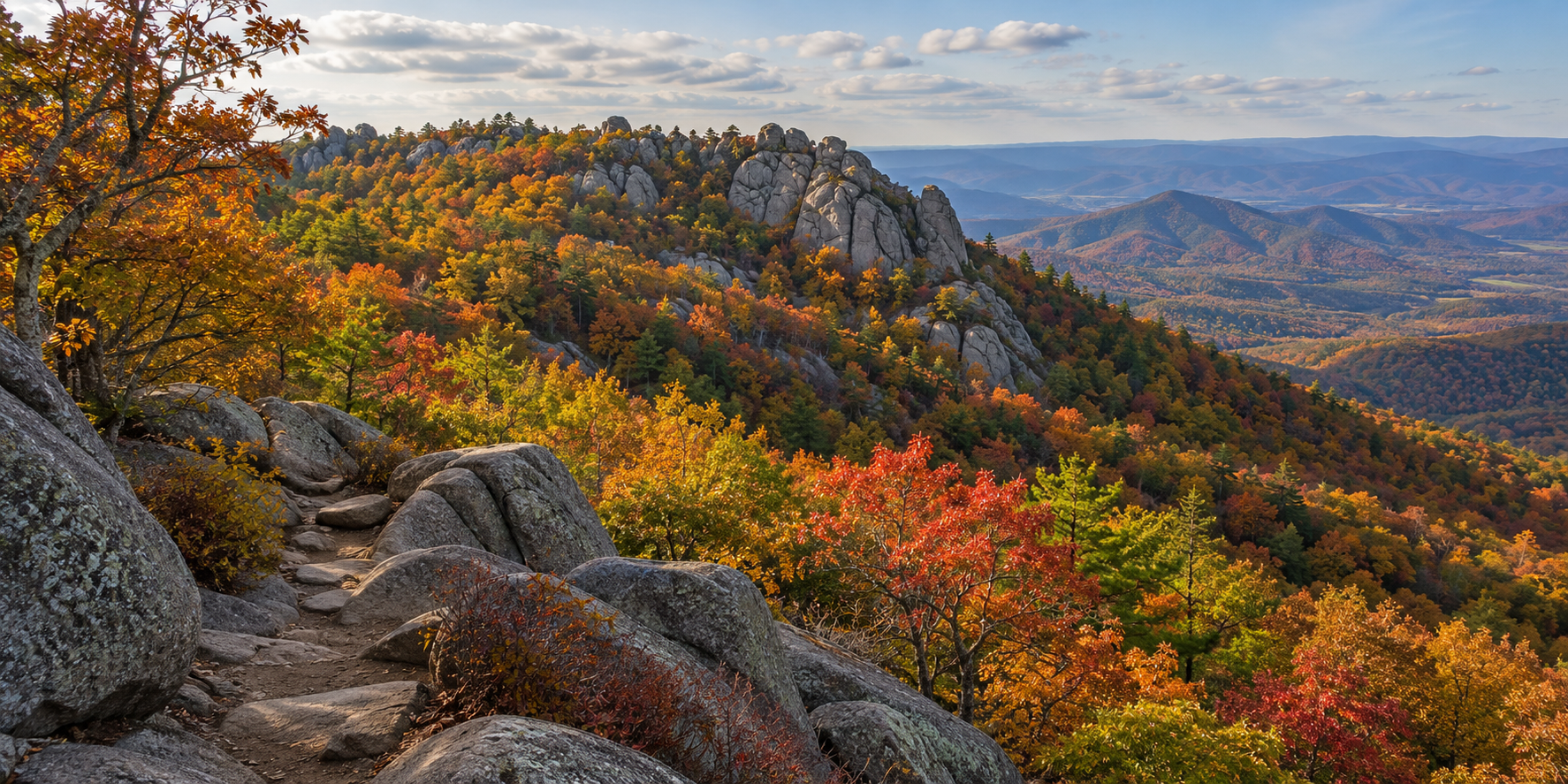
Anyone entering the Old Rag ticket area on the Ridge, Saddle or Ridge Access trails needs a day-use ticket from March 1 through November 30. The $2 ticket is separate from the Shenandoah entrance fee or pass. Tickets are released in two groups: 400 thirty days ahead and 400 five days ahead, both at 10 a.m.
The 2026 parking project is the bigger practical complication. The main Old Rag trailhead lot is closed to vehicles and pedestrians while infrastructure work continues, with completion expected in November. Overflow parking remains available, but fall weekends—especially Saturdays—can fill even when a hiker already has a ticket.
Reserve online before driving to the trailhead because cellular service is unreliable. Carry a screenshot or printed copy, bring the matching photo ID and carpool when possible. A reservation confirms access to the ticketed area; it does not reserve a parking space or guarantee that weather and trail conditions will be safe.
Current closures and cautions to check before leaving
- Naked Creek backcountry zone: closed until further notice as of October 7 because of recent wildlife interactions.
- Skyline Drive: weather can close individual sections or the entire road on short notice; use official alerts rather than an old screenshot.
- Boundary access parking: use designated spaces only and follow posted restrictions, including the approach to Thompson Hollow.
- Old Rag main parking lot: closed during the 2026 improvement project; use the designated overflow lots.
- Backcountry plans: confirm zones, permits and closures on the day of departure. Do not route around a closure using an unofficial path.
The Naked Creek closure is localized, not a park-wide shutdown. Most visitors can still use Skyline Drive, visitor centers and other open trails, but anyone with a backcountry itinerary near the closed zone should choose a different legal route.
What remains open during the fall season
Shenandoah is open year-round, but visitor services close on different dates. The National Park Service lists Dickey Ridge Visitor Center through November 1, while Byrd Visitor Center is open year-round. Elkwallow Wayside and Skyland are scheduled through November 8, and Big Meadows Lodge and Big Meadows Wayside through November 29.
Hours and operating dates can change with staffing, utilities or weather. Carry food and water even when a concession is listed as open, and do not assume every campground has a walk-up site. Fall weekends often book months ahead, while first-come sites can fill by Thursday evening.
A practical one-day Shenandoah fall itinerary
Start before the busiest entrance rush and enter through the gate that best matches the section you want to see—not automatically the closest northern gate. Stop at a few legal overlooks rather than every pullout, then use a visitor center or wayside around midday for current conditions, restrooms and a route check.
Choose one short hike with parking alternatives instead of combining multiple famous trailheads. Stony Man, Dark Hollow Falls and other popular areas can fill early, so keep a less crowded option ready and turn around if conditions, daylight or parking no longer support the plan.
Finish with a south- or west-facing overlook if space is available, but leave before fatigue and darkness make wildlife crossings harder to see. Download maps before entering the park and tell someone your route because mobile service is unreliable along much of Skyline Drive.
What to pack for a fall day
- Warm layers and a wind-resistant shell; ridge temperatures can feel much colder than the valley.
- Water and food for the full day, plus a small reserve in case traffic or a closure delays the drive.
- Offline maps, a charged power bank and a paper backup.
- A headlamp, even for a planned daytime hike, because fall daylight ends earlier than many visitors expect.
- Sturdy footwear and basic first-aid supplies.
- A printed or saved entrance pass, Old Rag ticket and photo ID when applicable.
The waterproof National Geographic Shenandoah National Park map covers Skyline Drive, trails, campgrounds and key park areas and is useful when cell service disappears. Check the National Geographic Shenandoah map on Amazon before the trip.
As an Amazon Associate, ReaderSpice earns from qualifying purchases.
The bottom line
Shenandoah’s fall season rewards flexibility. Use the October 8 official update and current webcams to choose an elevation, enter through the least congested practical gate, and plan only the Skyline Drive section you can enjoy without rushing.
Old Rag requires extra preparation in 2026 because a valid ticket does not solve the reduced-parking problem. The Naked Creek closure also shows why every backcountry plan needs a same-day conditions check. With an early start, a backup route and realistic expectations, the park can still deliver a strong fall day without turning the trip into a traffic contest.
Sources
National Park Service: Shenandoah Fall Updates — October 8, 2026
National Park Service: 2026 Shenandoah Fall Color Reports
National Park Service: Fall in Shenandoah planning guidance
National Park Service: Driving Skyline Drive
National Park Service: Shenandoah alerts and current conditions
National Park Service: Old Rag day-use ticket and parking details
National Park Service: Naked Creek backcountry zone closure
National Park Service: 2026 operating dates and facility hours