Grand Canyon November 2026 Update: North Rim Roads, Water Restrictions and What’s Open

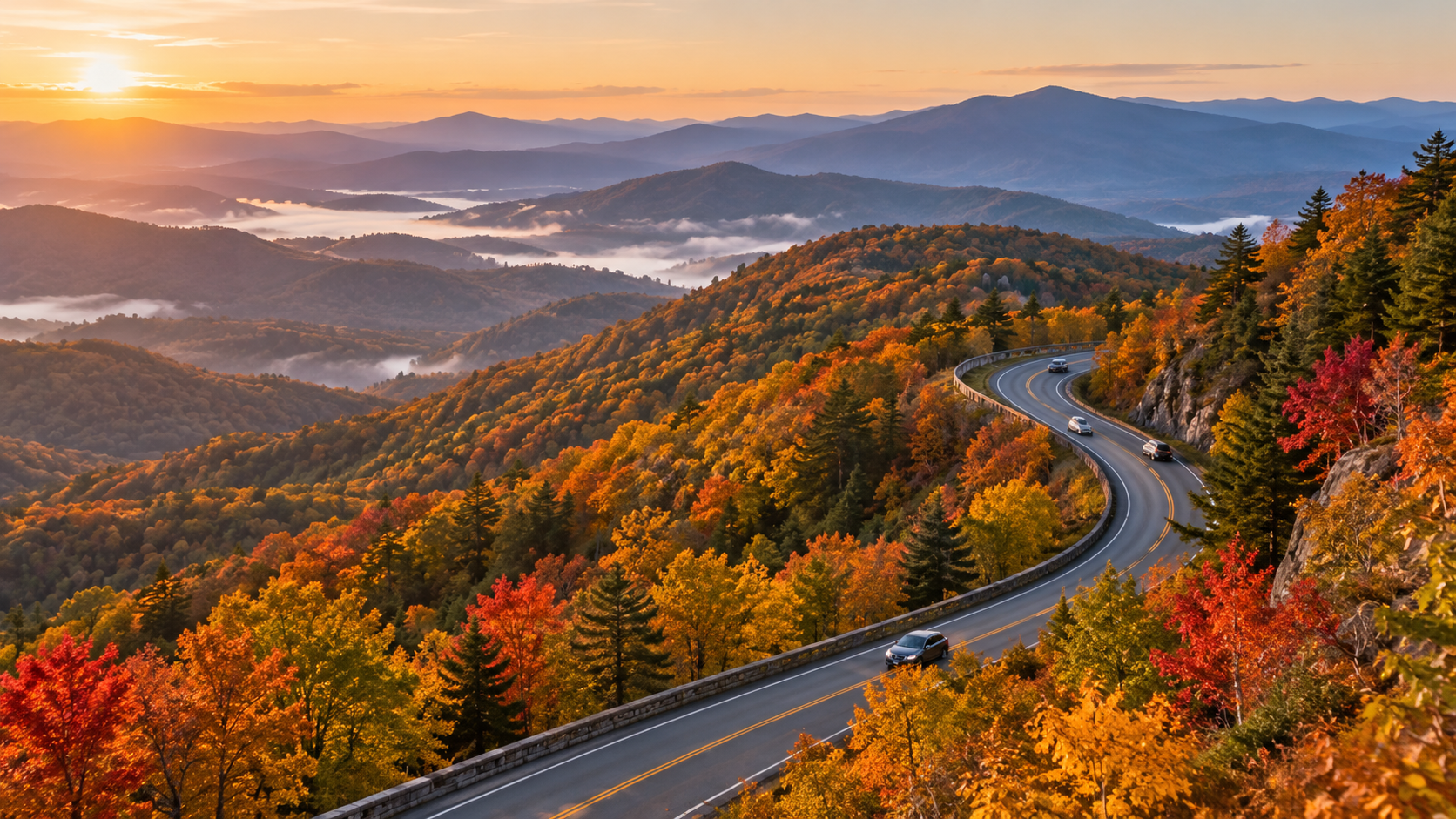
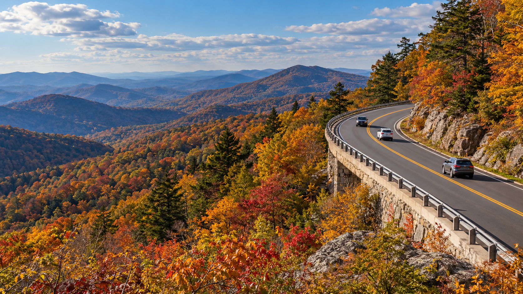
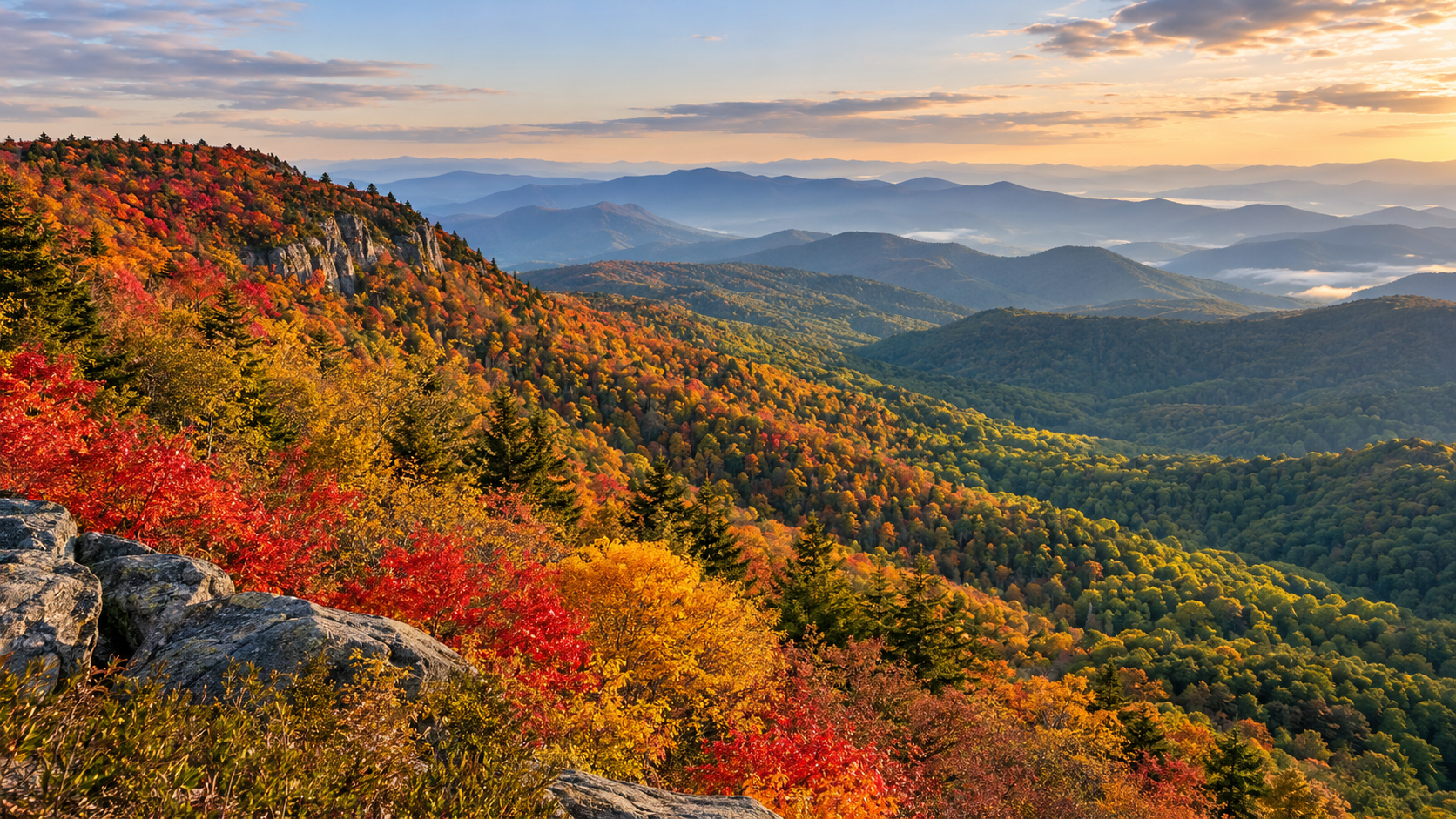
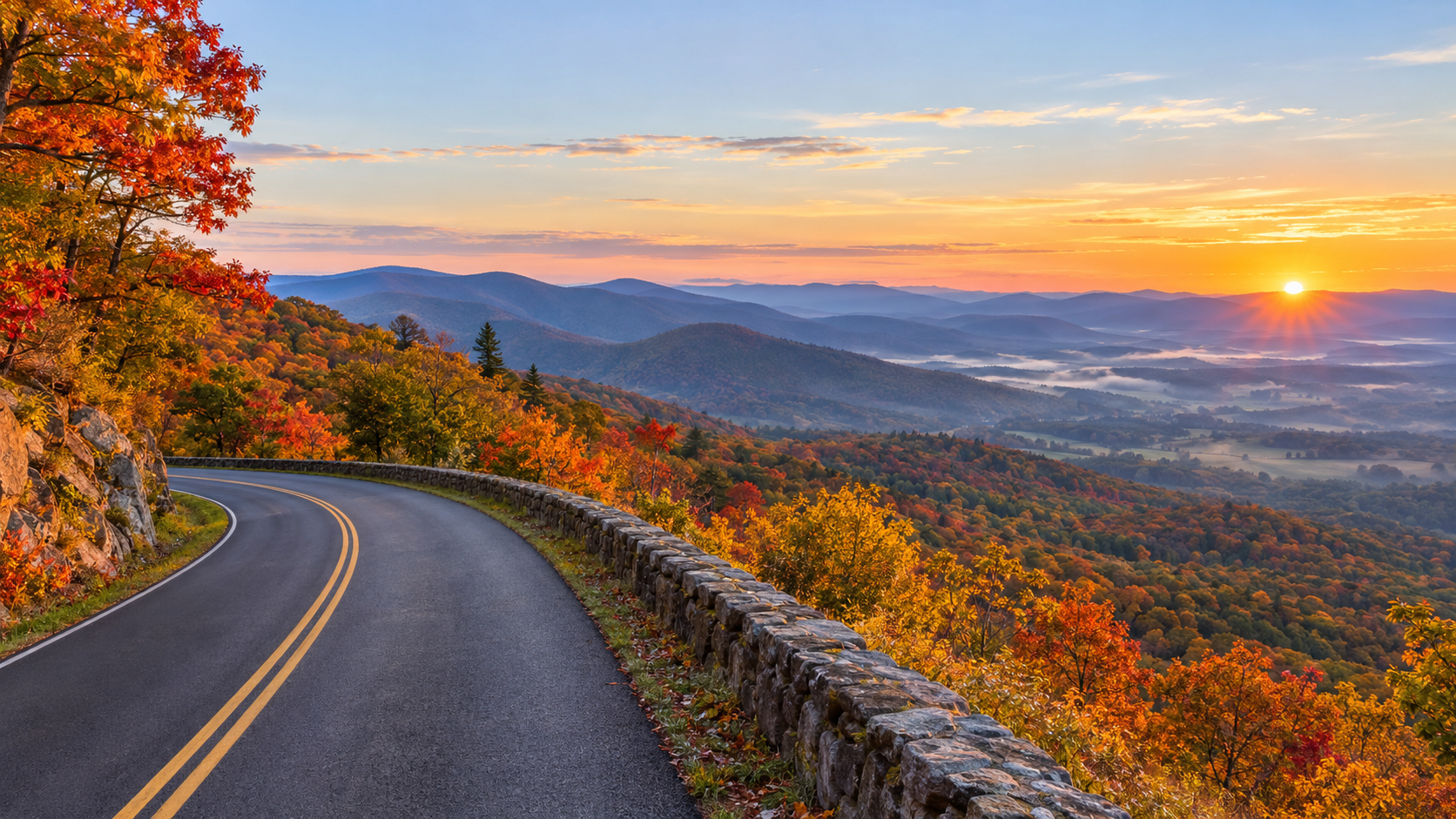
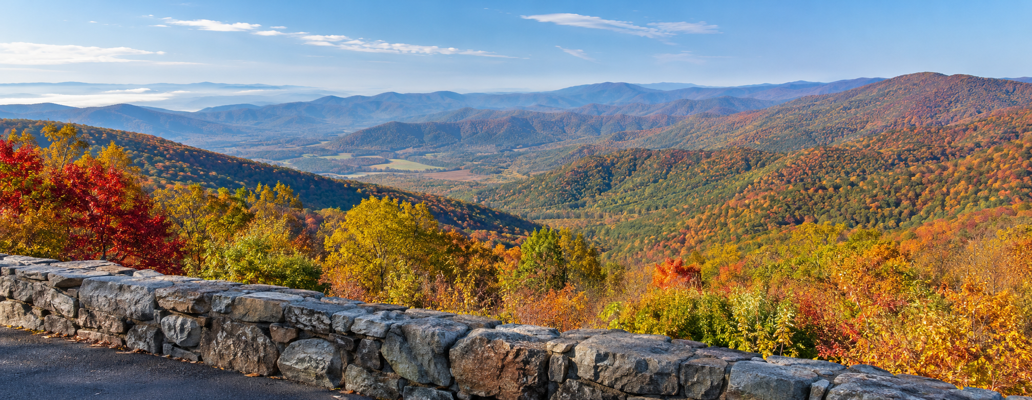
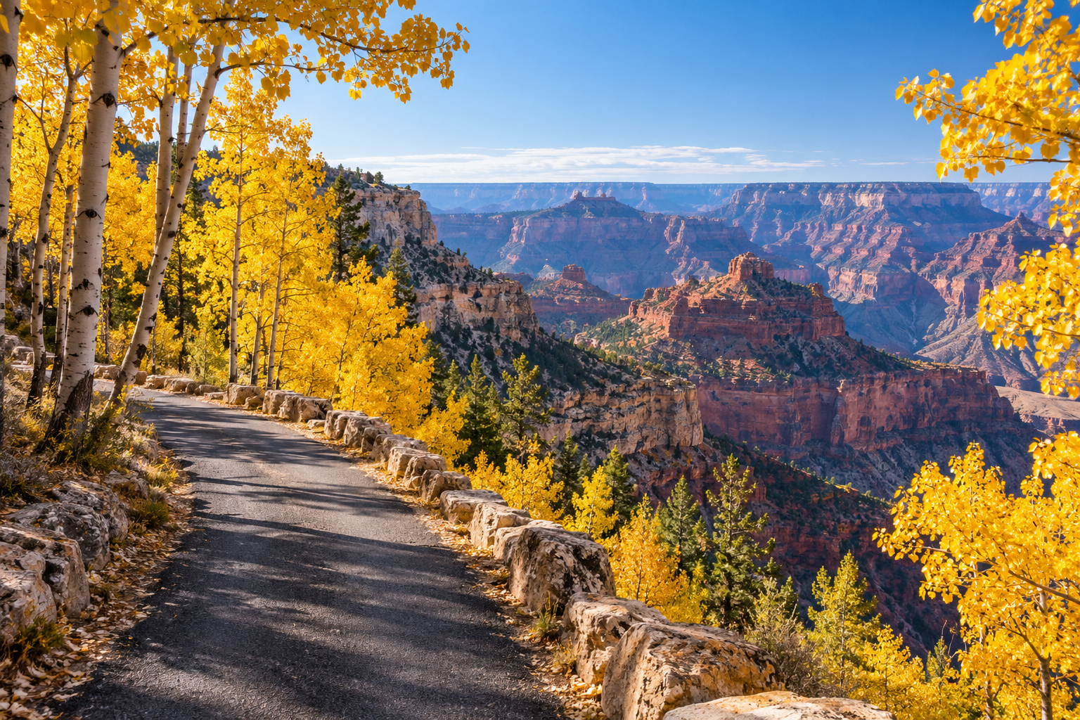
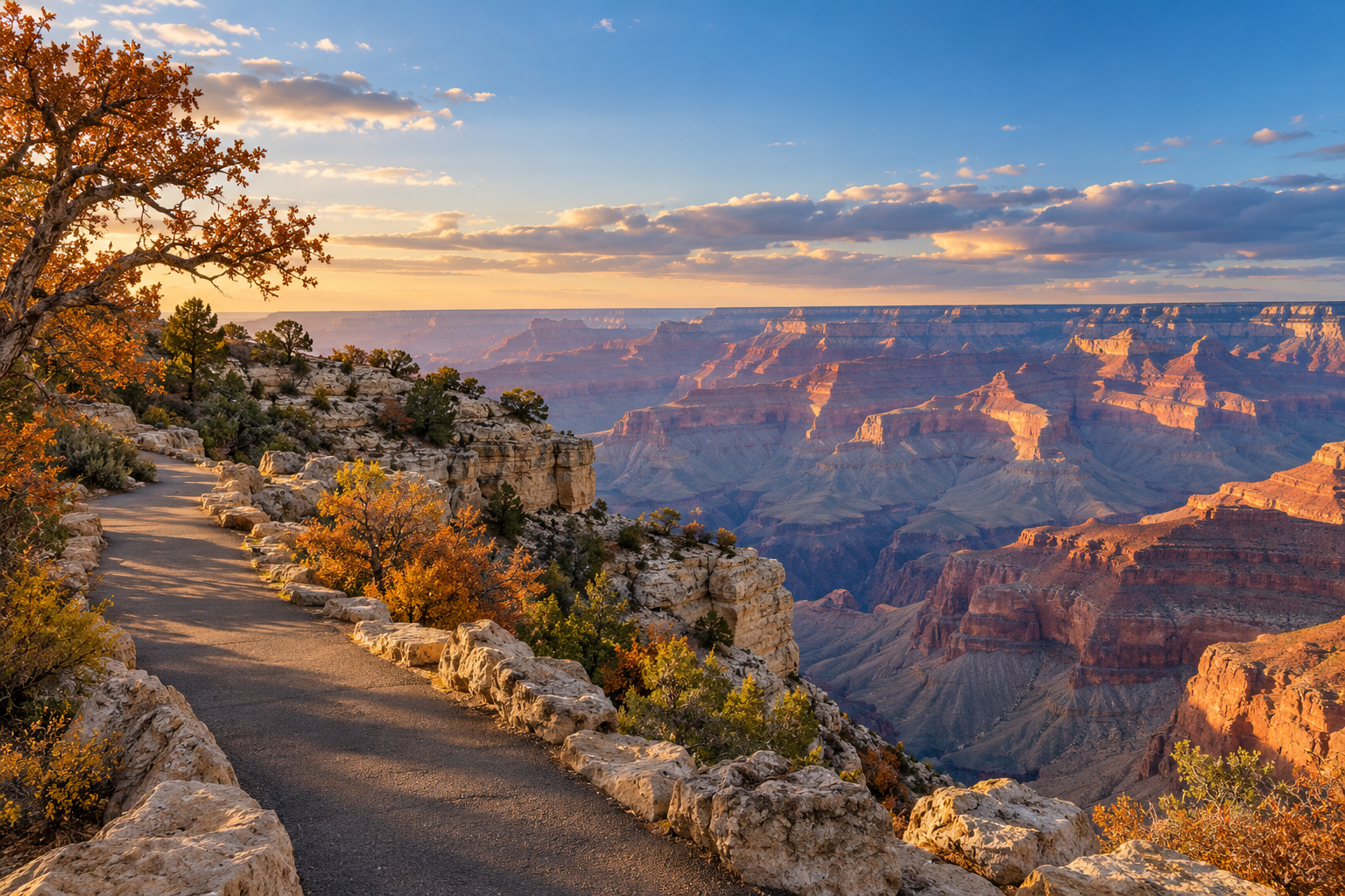
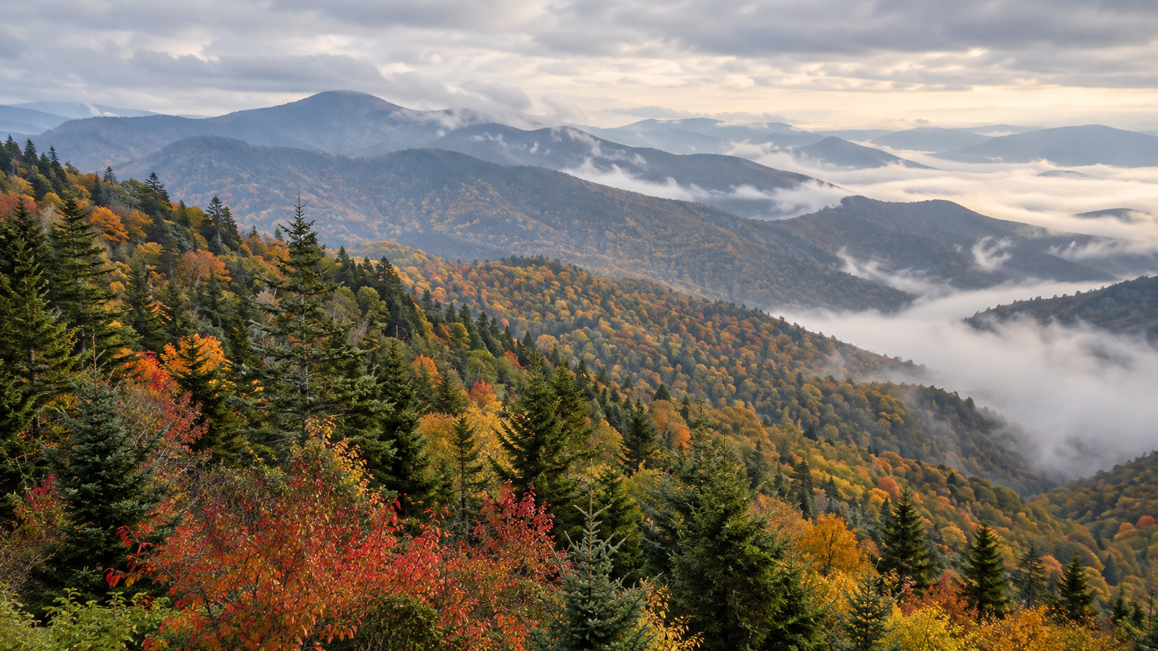
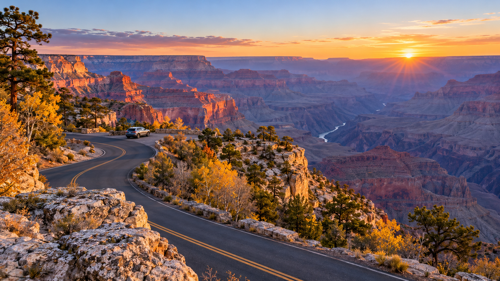
A scenic North Rim road curves toward a Grand Canyon overlook at sunrise in early November.

Grand Canyon’s November shoulder season is unusually complicated in 2026. The South Rim remains open for day visits, but Stage 4 water restrictions have closed in-park lodging and shut off water at campgrounds and along inner-canyon trails. On the North Rim, two major scenic roads are scheduled to reopen at sunrise on November 3 after repair work, even as the campground, gas station and most visitor services remain closed.

The practical takeaway is not that the park is closed. It is that access, water and services now vary sharply by rim, road and trail. Travelers who arrive with an old summer itinerary could find a legal road but no fuel, an open trailhead but no drinking water, or an available campsite that operates as dry camping.

This update uses the Arizona Office of Tourism’s October 30 access bulletin and current National Park Service road and North Rim planning pages. Weather, repairs and water-system work can change conditions quickly, so verify the NPS alerts page and road line immediately before leaving a gateway town.

Grand Canyon November 2026 at a glance

  • South Rim day access: open, including overlooks, museums, visitor centers and the paved Rim Trail, subject to current alerts.
  • South Rim lodging: in-park lodging is closed while the park conserves water; gateway lodging remains available in Tusayan, Williams and Flagstaff.
  • North Rim season: limited day-use access is planned through November 30 or the first major snowstorm, whichever comes first.
  • Cape Royal and Point Imperial roads: scheduled to reopen at sunrise on November 3 after temporary repair closures.
  • North Rim services: no campground, gas station, general store, drinking water or food service inside the park.
  • Water status: Stage 4 restrictions remain in effect; visitors must carry adequate drinking water and should not depend on trail taps.
  • Trail access: several corridor sections are open, but rim-to-rim travel and multiple damaged routes remain closed or impassable.
  • Fire restrictions: the October 30 bulletin lists Stage 2 restrictions on both rims; check for a newer notice before using any flame or stove.

North Rim roads reopen November 3—but services do not
North Rim roads reopen November 3—but services do not

Cape Royal Road and Point Imperial Road were temporarily closed from sunset October 15 through sunrise November 3 for critical road repair and rehabilitation. The NPS road page lists the scenic roads as open after that window, but the reopening remains subject to weather and work conditions. Call the park road line at 928-638-7496 before making the long drive from Jacob Lake.

Reopening those roads restores access to two of the North Rim’s most dramatic viewpoints, but it does not restore the summer visitor network. The North Rim Campground, gas station, general store and backcountry information office are closed for the season. Drinking water and food are unavailable inside the North Rim area. Fuel, lodging and supplies are available outside the park around Jacob Lake, and additional services are farther away in Fredonia and Kanab.

Vehicle length also matters. NPS warns that RVs over 22 feet and vehicle-trailer combinations longer than 22 feet are not permitted on Cape Royal Road and the scenic drive because of narrow lanes, tight curves and blind corners. A road being open does not make it suitable for every rental RV or tow setup.

The North Rim is a limited day-use destination

The North Rim entrance is roughly 30 miles south of Jacob Lake on State Route 67, followed by another 14 miles to the rim. The park expects limited fall day use through November 30 unless a major snowstorm closes the route earlier. This is a remote, self-supported visit: arrive with a full tank, food, drinking water, warm layers, a downloaded map and a winter emergency kit.

Do not use a summer service schedule or an old map as proof that a facility is operating. Mobile coverage is unreliable, road conditions can change rapidly and emergency response is more limited after seasonal services close. If the forecast or road line does not support the trip, treat the South Rim as a separate alternative rather than attempting to improvise a cross-canyon route.

Stage 4 water restrictions change South Rim planning

The South Rim remains open to day visitors, but the water shortage is affecting nearly every overnight plan inside the park. The October 30 access update says in-park lodging is closed to conserve water. Mather and Desert View campgrounds are available for dry camping by reservation, which means travelers must bring or buy all the water they need and cannot assume normal campground taps are operating.

Temporary bulk-water tanks are available at the South Kaibab and Bright Angel trailheads, according to the joint visitor update. Water is off at campgrounds, along inner-canyon trails and across the North Rim. Availability at one trailhead does not guarantee water farther down a trail, and a full container at the start should be treated as essential equipment rather than an optional convenience.

The park expects to begin pumping water again around mid-November if repairs stay on schedule, potentially allowing lodging to return in phases near Thanksgiving. That is an estimate, not a reservation guarantee. Do not book a trip around an anticipated reopening until the concessioner and NPS confirm the specific property and date.

What is open on the South Rim

  • South Entrance and Desert View Drive for normal access, unless weather creates a temporary closure.
  • Overlooks, museums, visitor centers and the paved Rim Trail for day use.
  • Free shuttle service where listed on the current park schedule.
  • Mather and Desert View campgrounds as dry camping with reservations.
  • Selected grab-and-go and limited dining inside the park, with broader dining and lodging in gateway communities.
  • Grand Canyon Railway service and activities in Tusayan, Williams and Flagstaff.

Hours can be shorter than summer schedules, and an open park does not mean every restaurant, restroom or shuttle stop is operating. Build the day around one confirmed route, carry food and water, and keep a backup plan in a gateway community.

Trail closures and water limits require conservative hiking

The October 30 bulletin lists Bright Angel Trail as open from the South Rim trailhead to River Resthouse and South Kaibab Trail as open to Black Bridge. The River Trail is open between River Resthouse and South Kaibab Trail, while Plateau Point Trail and part of the Tonto Trail are also listed open. Other routes—including rim-to-rim travel—are closed or impassable.

These openings are not permission to build a long canyon itinerary from an old guidebook. Water is off along the corridor, daylight is shorter, temperatures can swing dramatically between rim and river, and flash floods can occur without warning. Confirm the exact route and turnaround point with current NPS alerts. Turn around early if the group’s water use, pace or weather exposure is worse than planned.

A portable filter can be a useful emergency backup only where a reachable, permitted water source actually exists. It does not create water, remove every chemical or heavy metal, or replace the amount NPS tells visitors to carry. The Sawyer Squeeze Water Filtration System (ASIN B005EHPVQW) is one verified option for treating compatible backcountry water sources, but buyers should confirm the current kit, seller and instructions before ordering.

Affiliate disclosure: ReaderSpice may earn a commission from qualifying Amazon purchases made through the link above, at no additional cost to you.

A practical November visit plan

  • Check NPS alerts, the road page and the recorded road line on the morning of travel.
  • Choose one rim. Driving between the North and South rims takes roughly 4.5 hours each way in normal conditions.
  • Fill fuel and water containers in a gateway town; do not count on North Rim services.
  • Carry tire chains where required, warm layers, food, a first-aid kit, a flashlight and a power bank.
  • Download the NPS app content and maps for offline use before losing mobile service.
  • Use a short, conservative day hike that matches the current open-trail list and available daylight.
  • Keep lodging and dining reservations outside the park flexible until water-service restoration is confirmed.

For the North Rim after November 3, the most realistic plan is an early day trip to Point Imperial or Cape Royal only after confirming the scenic roads are open. For the South Rim, use the year-round entrance, park outside lodging in Tusayan, Williams or Flagstaff, and treat the park as a day-use destination while Stage 4 water restrictions remain in force.

The bottom line

Grand Canyon is accessible in November 2026, but it is not operating like a normal fall season. The North Rim gains important scenic-road access on November 3 while losing nearly all visitor services. The South Rim stays open for day use, but water restrictions close in-park lodging, turn campgrounds into dry-camping sites and remove dependable trail water.

The safest plan is simple: verify the exact road and trail on the day of travel, carry more water and emergency supplies than a summer visit would require, and never treat a projected reopening as confirmed. The canyon will still be there if conditions make a particular route unwise.

Sources

Arizona Office of Tourism — Grand Canyon Area Biweekly Visitor Access Update, October 30, 2026

National Park Service — North Rim status and closures

National Park Service — Directions and travel to the North Rim

National Park Service — Weather, webcams, road conditions and closures

National Park Service — Grand Canyon alerts and conditions

Sawyer Products — Squeeze Water Filtration System

Amazon — Sawyer Squeeze Water Filtration System, ASIN B005EHPVQW

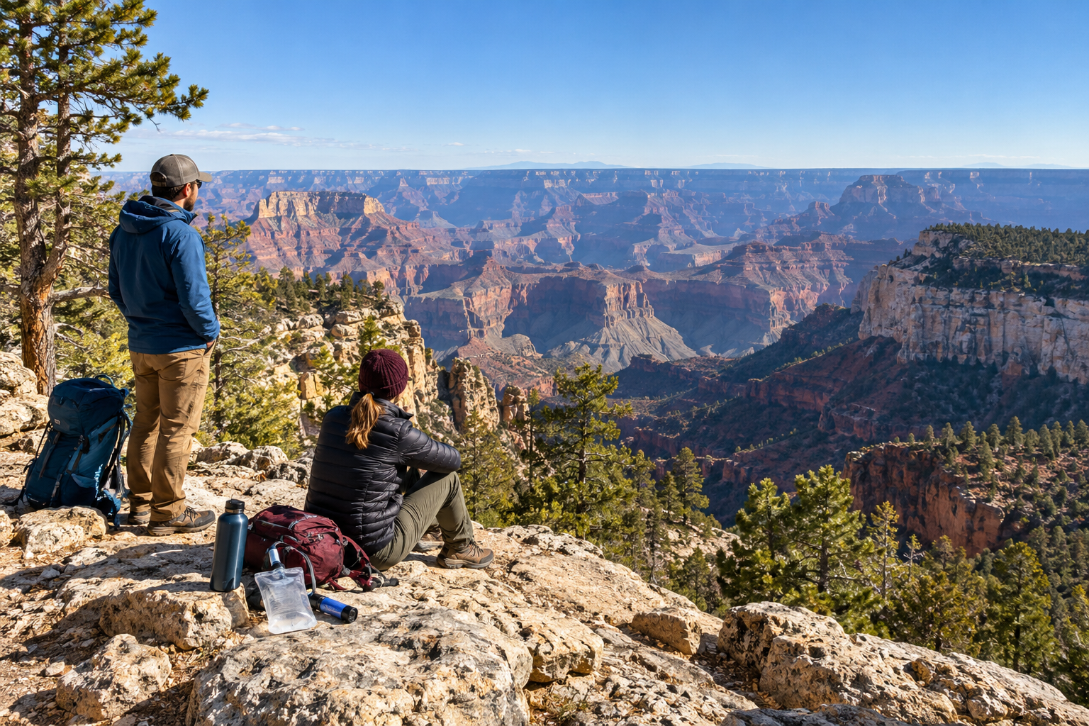
Inline image alt text: Two prepared hikers with water containers and a compact filter look across the Grand Canyon from a North Rim overlook.
Yellowstone Winter 2026–27 Guide: Road Closures, Snowcoach Dates and What’s Open

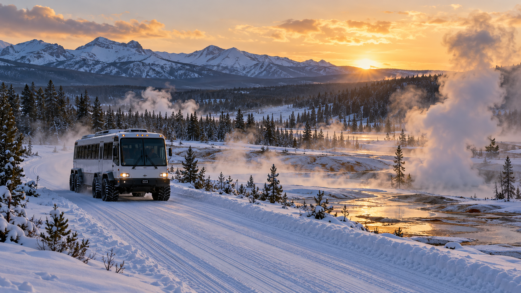
Snowcoach travels a groomed Yellowstone winter road past steaming geothermal terrain at sunrise

Yellowstone’s summer driving season ends with a hard reset. The National Park Service’s 2026 road calendar keeps most interior roads open to regular vehicles through October 31, then closes them while crews prepare for winter. The northern road from Gardiner through Mammoth Hot Springs and Tower Junction to Cooke City remains the only park route generally open to ordinary cars year-round, weather permitting.

The next major date is December 15, 2026. That is when the park’s groomed-road system is scheduled to reopen for limited snowcoach and snowmobile travel. The routes do not all stay open to the same March closing date, and a snowcoach reservation is not the same thing as permission to drive a rental car into the interior.

This guide uses the NPS road and operating-date pages updated October 28, 2026, plus the current-conditions page updated October 29. Every date remains weather-dependent, so treat the schedule as a planning framework and check the live road map immediately before travel.

Yellowstone winter 2026–27 at a glance

  • Regular-car access: North Entrance to Northeast Entrance is generally open year-round, weather permitting.
  • Interior road closure: most regular-vehicle routes close after October 31, 2026.
  • Early-winter gap: November 1 through December 14 has no scheduled oversnow access to the interior.
  • Oversnow opening: groomed routes are scheduled to open December 15, 2026.
  • Staggered spring closures: oversnow routes close between March 7 and March 15, 2027.
  • Winter lodging: Mammoth Hot Springs Hotel and Old Faithful Snow Lodge publish limited winter dates.
  • Conditions rule: storms, thin snow, mechanical issues and wildlife can change access without notice.

The most common planning mistake is to read “Yellowstone is open” as “every entrance and attraction is reachable by car.” The park is open 24 hours a day and 365 days a year, but winter access is a network of separate corridors, limited facilities and reservation-based transportation.

What closes after October 31

The West Entrance–Madison–Old Faithful corridor, the Madison–Norris and Mammoth–Norris roads, the Norris–Canyon road, the East Entrance–Fishing Bridge route, Canyon–Bridge Bay, the South Entrance–West Thumb road and the main West Thumb connections are all scheduled to end regular-vehicle service after October 31. Dunraven Pass, Beartooth Highway and Chief Joseph Scenic Byway have earlier seasonal limits or separate state-managed closures.

That creates an important shoulder-season gap. Between the regular-road closure and the December 15 oversnow opening, travelers should not plan a private-car visit to Old Faithful, Canyon, West Thumb or the park interior. The northern road remains the practical in-park driving option, but snow, ice or an incident can still close it temporarily.

Navigation apps may continue drawing routes through a closed entrance. A route line is not an access notice. Use the NPS road map, Wyoming 511, Montana road reports and the park’s recorded road line before leaving a gateway town.

How winter access splits into two systems

How winter access splits into two systems

Yellowstone operates as two very different winter destinations. The northern range is a conventional road trip with winter driving hazards. The interior is an oversnow trip that normally requires a commercially guided snowcoach or snowmobile, except for the park’s limited noncommercial snowmobile permit program.

On the northern road, visitors can drive from Gardiner through Mammoth and Tower Junction toward the Northeast Entrance. The route serves Lamar Valley wildlife viewing and year-round Mammoth services, but the highway east of Cooke City does not function as an unrestricted winter through-route to Red Lodge or Cody.

For Old Faithful and most interior destinations, plan around the operator’s pickup point, departure time, luggage rules and cancellation policy. A reservation from West Yellowstone does not automatically work from Mammoth, Jackson or Cody. The gateway named on the confirmation matters.

Oversnow dates by road segment

The NPS schedule opens the groomed-road system on December 15, but spring closures are staggered so plowing can begin. These are the published 2026–27 dates:

  • Mammoth Hot Springs to Norris: December 15, 2026, through March 7, 2027.
  • Norris to Madison, Norris to Canyon Village, and Canyon Village to Washburn Hot Springs Overlook: December 15, 2026, through March 9, 2027.
  • Canyon Village to Fishing Bridge: December 15, 2026, through March 14, 2027.
  • West, South and East entrances and all remaining groomed roads: December 15, 2026, through March 15, 2027.

These dates describe authorized oversnow travel, not unrestricted access. Weather, snow depth and operational conditions can delay an opening or force a temporary closure. The final week of the season is especially easy to misread: a route to one area may still be operating after the Mammoth–Norris segment has closed.

Choose the right winter gateway

North Entrance: the regular-car option

Gardiner, Montana, is the gateway for the year-round northern road. It is the simplest choice for visitors focused on Mammoth Hot Springs, Lamar Valley, wildlife and a self-driven itinerary. Carry winter emergency supplies, keep the fuel tank comfortably full and leave more time than a dry-road estimate suggests.

The road is open weather permitting, not guaranteed every hour of winter. Park alerts, state highways leading to Gardiner and the approach to Cooke City can each have different conditions. If a closure blocks the chosen wildlife corridor, do not stop in a travel lane or improvise an off-road viewpoint.

West, South and East entrances: oversnow only

West Yellowstone is a major starting point for guided interior trips once the oversnow season begins. The South Entrance can connect with operators serving the Jackson area, while East Entrance access depends on available authorized service and the trip being offered on the selected date. Ordinary wheeled vehicles cannot simply follow a snowcoach route.

Before paying for a flight or hotel, confirm the exact pickup town and whether the tour includes transportation to the park boundary. Winter distances are deceptive: Jackson, West Yellowstone, Gardiner and Cody are separate bases, not interchangeable neighborhoods.

Snowcoach or snowmobile: which fits the trip

A snowcoach is usually the easier choice for first-time winter visitors, families, photographers carrying equipment and travelers who prefer an enclosed vehicle. It offers shelter from wind and cold, but schedules are fixed, space is limited and stops depend on the operator and route.

A guided snowmobile trip is more exposed and physically demanding. Riders need appropriate insulated gear, must follow guide instructions and may face age, license or passenger rules. Noise, cold and hand fatigue can be more significant than expected. The NPS also runs a limited Non-commercially Guided Snowmobile Access Program with permits and specific requirements; it is not a general self-guided exception.

  • Compare the exact route and attractions, not only the vehicle type.
  • Confirm whether outerwear, boots, helmet or lunch is included.
  • Ask about luggage limits for overnight stays at Old Faithful.
  • Read the weather and cancellation policy before booking.
  • Verify mobility needs, child rules and restroom access with the operator.

What is open in winter

Winter services are concentrated. At Mammoth, the NPS lists Albright Visitor Center, Mammoth Park Store, Mammoth General Store, Mammoth Medical Clinic, the post office and Mammoth Campground as year-round operations, subject to their own hours and holiday closures. Mammoth Hot Springs Hotel lodging is listed through March 7, 2027, with dining and several services through March 8.

At Old Faithful, the 2026–27 table lists the Snow Lodge’s lodging and cabins from December 16 through March 5. The Obsidian Dining Room runs December 16 through March 7, while the Geyser Grill is listed from December 15 through March 15. The Old Faithful Visitor Education Center begins its winter season December 15, with its closing date still listed as TBD on the October 28 update.

Canyon, Madison, Fishing Bridge, West Thumb and other locations may have visitor-center lobbies or warming huts during the oversnow season, but most summer lodging, stores, campgrounds and restaurants are closed. A warming hut is not a full-service visitor center. Pack food, water and backup layers even when a tour includes planned stops.

Facility tables can change without advance notice. Recheck both the NPS operating-date page and the concessioner reservation before departure, particularly for holiday hours, dining and luggage transfers.

A realistic three-day winter plan

Day 1: northern range and Mammoth

Base in Gardiner or Mammoth, check the road report at breakfast and drive only as far as conditions comfortably allow. Prioritize Mammoth terraces, pullouts along the northern road and a Lamar Valley wildlife window. Turn around before darkness if the road is icy or visibility is falling.

Day 2: a reserved interior trip

Use the pickup location printed on the reservation and arrive early. A day snowcoach to Old Faithful can consume most daylight once loading, road conditions and scenic stops are included. Do not schedule a tight evening flight or a long cross-state drive immediately afterward.

Day 3: weather buffer

Keep the final day flexible for a delayed tour, a shorter northern-range outing, skiing or snowshoeing on an officially open route, or a gateway-town activity. Winter plans need a buffer because a single storm can change both park access and the highway needed to reach the airport.

Cold, ice and limited connectivity change the safety plan

The NPS says winter daytime temperatures commonly range from 0°F to 20°F, with subzero conditions especially common at night and at higher elevations. A heated vehicle reduces exposure, but it does not remove the need for insulated layers, gloves, hat, dry socks and a way to protect skin in an emergency stop.

  • Carry blankets, water, high-energy food, a headlamp and a charged power bank.
  • Keep the gas tank full enough to handle a closure or long detour.
  • Download the NPS app content and maps before entering the park.
  • Use traction aids on icy boardwalks and stay on designated surfaces.
  • Never walk into a closed road, thermal basin or groomed oversnow route.
  • Text 82190 to 888-777 for Yellowstone road alerts, or call 307-344-2117 for the recorded road report.

Cell service is unreliable. Share the itinerary with someone outside the park and carry the operator’s phone number on paper. If the park closes a road or facility, treat that decision as final for the day instead of searching for an unofficial bypass.

Wildlife viewing requires distance

Winter can make animals easier to see against snow, but it does not make them safer to approach. NPS guidance requires at least 100 yards from bears, wolves and cougars and at least 25 yards from bison, elk and other wildlife. If an animal approaches, move away and give it the route.

Do not stop in a travel lane for a bison or wolf sighting. Use a legal pullout, stay inside the vehicle when appropriate and follow ranger or guide instructions. Food scraps and unsecured packs also create wildlife problems; ravens and other animals can quickly scatter unattended items.

A paper map is useful—but it cannot show live closures

The National Geographic Trails Illustrated Yellowstone National Park Map, ISBN-10 and Amazon ASIN 1566952956, is a waterproof, tear-resistant topographic map with roads, trails and major park features. It can be a useful offline backup when a phone has no signal or battery.

Compare the National Geographic Yellowstone map on Amazon. Confirm the edition, seller, current price and return terms before ordering. Use the map for orientation, then use the current NPS road page for closures and seasonal access.

Affiliate disclosure: ReaderSpice may earn a commission from qualifying Amazon purchases made through the link above, at no additional cost to you.

Booking checklist

  • Choose the trip type: northern-road driving, a day oversnow tour or an overnight Old Faithful stay.
  • Match the hotel to the tour’s pickup gateway.
  • Confirm the operator, date, route, vehicle type and luggage allowance.
  • Check every traveler’s clothing, mobility and age requirements.
  • Save the NPS road map, operating dates and reservation offline.
  • Recheck park roads, state highways and weather 24 hours before departure.
  • Build at least one flexible day into flights and lodging.

The bottom line

Yellowstone winter access is straightforward only after separating regular cars from oversnow travel. After October 31, most interior roads close to wheeled vehicles. The northern road remains generally open, while authorized snowcoach and snowmobile service is scheduled to begin December 15 and close in stages from March 7 through March 15, 2027.

Pick the gateway before the hotel, confirm the exact route before the flight and check conditions again on travel day. A smaller itinerary with one reserved interior trip and one flexible northern-range day is safer—and usually more rewarding—than trying to reproduce a summer loop in winter.

Sources

National Park Service: Yellowstone Park Roads — updated October 28, 2026

National Park Service: Yellowstone Operating Dates — updated October 28, 2026

National Park Service: Yellowstone Current Conditions — updated October 29, 2026

National Park Service: Explore Yellowstone in Winter

National Park Service: Yellowstone Maps and offline resources

National Geographic Maps: Yellowstone National Park Map, product 201, ISBN 9781566952958

Amazon: National Geographic Yellowstone National Park Map, ASIN 1566952956

Chiricahua Is America’s Newest National Park: What Changes and How to Plan a Visit

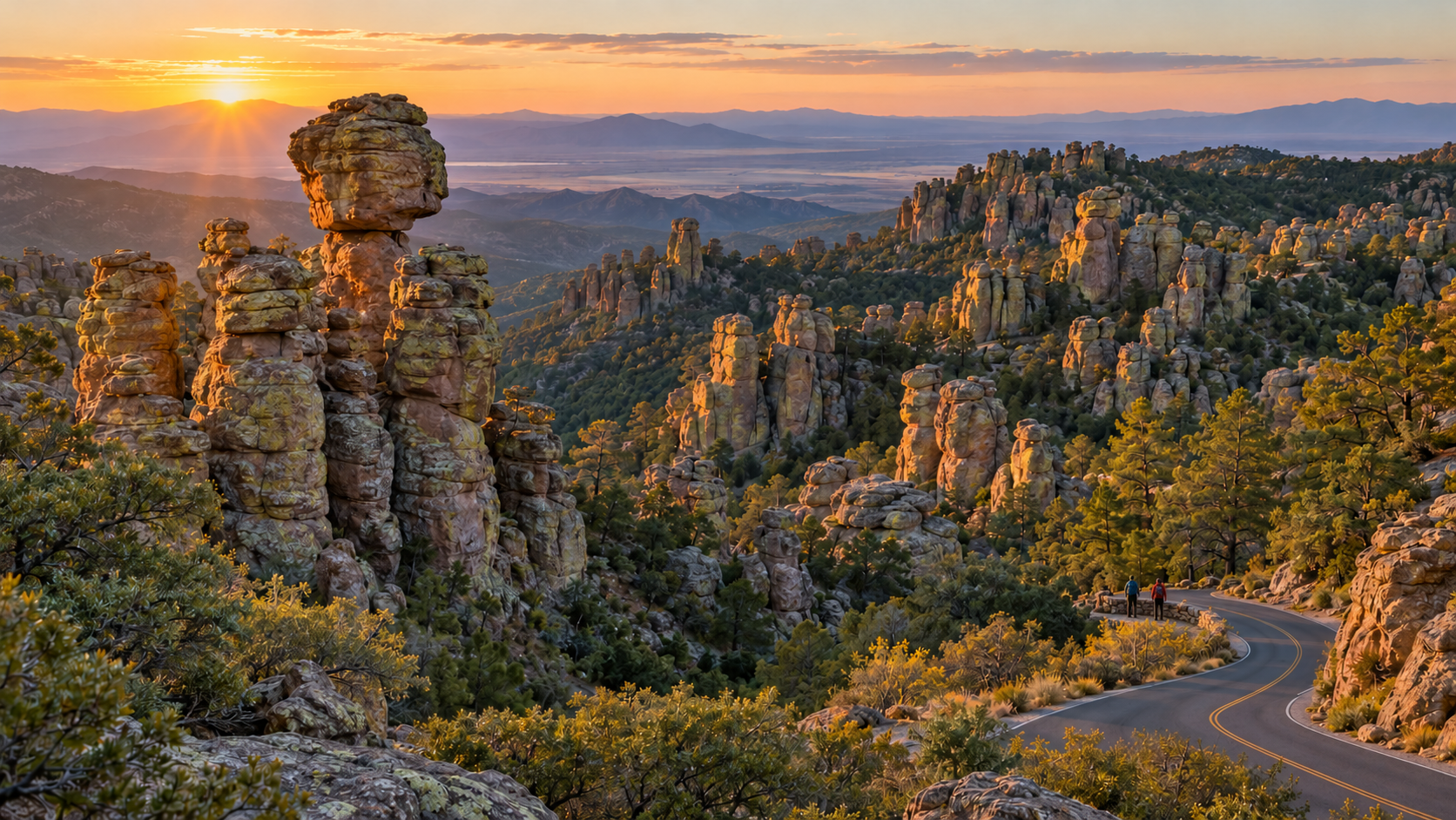
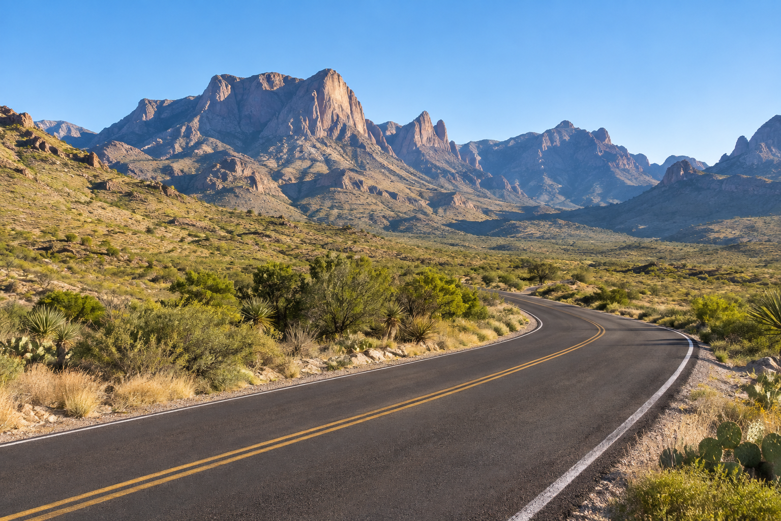
Sunrise lights the rhyolite pinnacles and winding scenic road at Chiricahua National Park in southeastern Arizona

Chiricahua National Monument became Chiricahua National Park on October 20, 2026, when the Chiricahua National Park Act was signed into law. The redesignation makes the 12,000-acre ‘Wonderland of Rocks’ in southeastern Arizona the United States’ newest national park and Arizona’s fourth, joining Grand Canyon, Petrified Forest and Saguaro.

For travelers, the immediate change is smaller than the new title suggests. The boundary did not expand, the National Park Service says hiking, camping and scenic driving will continue, and the same narrow roads, remote setting and limited services still shape a visit. The biggest near-term effect may be attention: more people will now add Chiricahua to national-park lists, making advance planning more important at a park with small trailhead lots and just 23 reservable campsites.

Chiricahua National Park at a glance

  • New status: redesignated from national monument to national park on October 20, 2026.
  • Location: southeastern Arizona near Willcox, about 120 road miles east of Tucson.
  • Landscape: rhyolite pinnacles, balanced rocks, canyons and sky-island forest formed after volcanic activity roughly 27 million years ago.
  • Main experiences: Bonita Canyon Scenic Drive, Massai Point, Echo Canyon, hiking, birding, historic Faraway Ranch and dark-sky viewing.
  • Current entrance charge: no park entrance fee; camping and some reservations still cost money.
  • Campground: Bonita Canyon has 23 sites, all by reservation, with no hookups, showers or dump station.
  • Connectivity: cell service is rare; download maps and essential information before leaving Willcox or Sunizona.

What the national park designation changes

The October 20 law changes the unit’s name and recognizes the national significance of its geology, biodiversity and cultural history. The National Park Service and Department of the Interior describe the redesignation as a new chapter for an area first protected as a national monument in 1924. It also raises Chiricahua’s profile within the best-known group of National Park Service sites.

The practical impact is likely to emerge over time. National park status can increase search interest, road-trip traffic and demand for nearby lodging. That matters here because the park has one paved entrance, one small campground and compact parking areas at major trailheads. A quiet weekday can still feel spacious, but holiday, spring-break and mild-weather weekends may fill earlier as awareness grows.

The law does not create a new park out of unprotected land. The same landscape was already managed by the National Park Service, and the Interior Department says the park will continue offering the same core activities. Travelers should not assume the new label guarantees new hotels, restaurants, transit, parking or cellular coverage.

What does not change for visitors

  • The existing park boundary and approximately 12,000 protected acres remain the starting point for a visit.
  • Bonita Canyon Drive remains a narrow, winding road with strict vehicle-length limits.
  • Private vehicles remain the practical way to reach the park; rideshare and taxi service are not dependable nearby.
  • Food, fuel, ice, charging and most supplies are outside the park, generally 30 to 40 miles away in Willcox or Sunizona.
  • Weather, fire restrictions, trail conditions and temporary facility closures can still change daily plans.
  • Cultural resources and the park’s importance to the Chiricahua Apache require the same respect as the scenery.

The best first visit: Massai Point and Echo Canyon

The best first visit: Massai Point and Echo Canyon

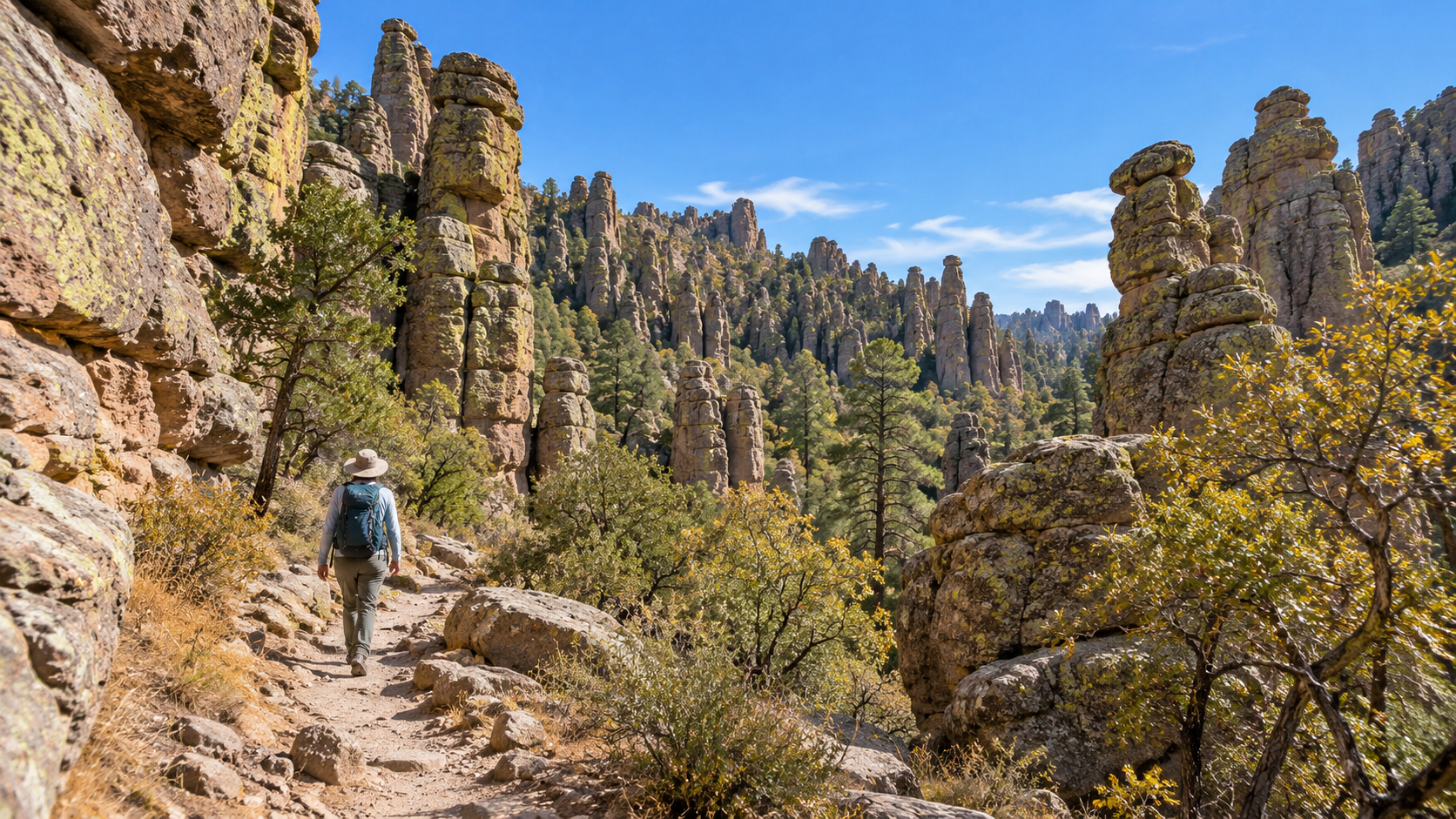
A first visit works best when it combines the eight-mile Bonita Canyon Scenic Drive with one trail suited to the group. The road ends at Massai Point, where broad views reveal how the rock pinnacles rise from forested slopes above the desert basin. Short interpretive walking and picnic opportunities make the overlook useful even for visitors who do not plan a long hike.

Echo Canyon provides the classic walk-between-the-rocks experience. Trail length depends on the chosen route, so use the current NPS hiking guide rather than a screenshot or an old blog description. The terrain includes uneven stone, stairs, steep grades and exposed edges. Start with a shorter option if anyone is adjusting to elevation, and carry more water than the cool-looking pine-and-oak scenery might suggest.

Parking at Echo Canyon, Sugarloaf and other upper-road trailheads is limited. Arrive early, avoid blocking turnarounds and have a legal fallback such as Massai Point or a lower-elevation walk. There is no guarantee that national park status will immediately add parking capacity.

A realistic one-day plan

  • Arrive with a full fuel tank, downloaded map, water, food and layers before the visitor center opens.
  • Stop at the visitor center for current trail, weather, fire and program information.
  • Drive first to the upper trailhead or Massai Point while parking is available.
  • Choose one primary hike, then save Faraway Ranch or a short nature trail for the return drive.
  • Leave enough daylight for the winding descent and avoid driving unfamiliar unpaved approaches after dark.

Road and vehicle limits can change the entire plan

The paved approach from Willcox follows Interstate 10 to Highway 186, then Highway 181. From Sunizona, Highway 181 reaches the same single park entrance. NPS warns that Pinery Canyon Road and Apache Pass are winding, rocky dirt roads that can become impassable after rain or snow; a navigation app’s shortcut should not replace the paved route for an ordinary rental car.

Vehicles and trailers longer than 29 feet must stop at Faraway Ranch, and vehicles longer than 24 feet are not allowed beyond the campground on the upper scenic drive. Even some legal-size vehicles may struggle with low branches, tight parking or unlevel campground approaches. Large-RV travelers should consider leaving the rig in Willcox or Sunizona and using a smaller vehicle.

The paved park road ends at Massai Point; it is not a through-route across the Chiricahua Mountains. Download an offline map, fuel or charge before turning onto Highways 186 and 181, and do not count on a last-minute rideshare if the car becomes unusable.

Camping requires a reservation and self-sufficiency

Bonita Canyon Campground is open year-round and contains 23 sites, all reserved through Recreation.gov. The NPS says the campground often fills during holidays, October and January through April. There are flush toilets, potable water, picnic tables and food lockers, but no electrical hookups, showers, dump station, camp store, ice or firewood sales.

Standard sites are listed at $25 per night and the tent-only group site at $50, subject to change. The road dip and tree cover impose a 29-foot maximum vehicle or trailer length, while individual sites may be shorter or harder to enter. Read the dimensions and full description of the exact campsite before booking.

Cell reception and campground internet are absent. Bring food, water containers, approved cooking equipment and current fire-restriction information. Nights at roughly 5,400 feet can be cold even when lower-elevation Arizona feels warm; the park rises above 7,000 feet and higher areas may be cooler and windier.

Weather, elevation and safety deserve desert-level planning

Chiricahua is a sky island, not a flat low-desert park. Summer heat, monsoon thunderstorms, winter snow, cold nights and rapid elevation changes can all affect a trip. NPS advises hikers to carry water and electrolytes, sun protection, salty snacks and appropriate footwear, and to allow time to adjust to thinner air.

Start early, turn back before fatigue becomes a navigation problem and keep wildlife at a distance. Bicycles and e-bikes are not permitted on park trails. Pets, fire, camping and food-storage rules vary by location, so check the current park alerts and the superintendent’s rules before arrival rather than relying on a guide written for the former monument.

Accessibility and low-impact options

Travelers who cannot use steep trails can still experience the park through scenic pullouts, Massai Point, the visitor center area and the ADA-accessible Bonita Creek Trail. The NPS identifies campsite 8 as accessible and asks visitors seeking specific accommodations to contact the park in advance.

Conditions can change the usefulness of any one stop. Confirm restroom, trail-surface, parking and exhibit access shortly before the trip. A companion should never park in a roadway or create a new pullout to shorten the walk.

A verified map option—and a free official alternative

Amazon lists Chiricahua National Monument Map: Guide to Hiking and Camping at Chiricahua National Monument by Anthony Brown (ASIN B0D7QH6J23). Its title uses the former designation because it predates the October 2026 name change. Treat any commercial guide as a supplement, verify its publication details and compare every route with current NPS information.

Check the Chiricahua map and hiking guide on Amazon (ASIN B0D7QH6J23). Confirm the author, format, edition, seller and return terms before ordering.

The NPS also provides a free printable park map and hiking guide. Download those official files for the latest agency routes and carry a paper copy because mobile reception is unreliable.

Disclosure: ReaderSpice may earn a commission from qualifying Amazon purchases made through the link above, at no additional cost to you.

Planning checklist

  • Check the NPS alerts, weather and fire restrictions on the morning of travel.
  • Download the official park map and hiking guide for offline use.
  • Confirm vehicle length and parking limits before bringing an RV or trailer.
  • Reserve Bonita Canyon Campground; do not expect walk-in campsites.
  • Fill the fuel tank or charge the vehicle and buy food, water and ice before the final approach.
  • Choose a primary trail and at least one lower-effort alternative.
  • Respect closures, cultural sites, wildlife and Leave No Trace principles.

The bottom line

Chiricahua’s new national park title is significant, but a visit still depends on the realities of a small, remote mountain park. The rock spires, scenic drive, trails and campground are not newly created attractions; they are the same resources the National Park Service has protected for more than a century under a more prominent name.

Plan for increased interest without assuming expanded services. Arrive early, use the official map, respect vehicle limits, reserve camping and bring what you need from town. That preparation leaves more time for the reason to go: walking among one of the Southwest’s most unusual volcanic landscapes.

Sources

U.S. Department of the Interior: Chiricahua becomes America’s newest national park — October 21, 2026

National Park Service: Official redesignation announcement

National Park Service: Directions, paved approaches and vehicle limits

National Park Service: Hiking guidance and safety

National Park Service: Bonita Canyon Campground reservations, facilities and fees

National Park Service: Free printable park maps and hiking guide

Amazon: Chiricahua map and hiking guide (ASIN B0D7QH6J23)

Cape Hatteras Storm Closures: Hatteras Island Evacuation, NC 12 Risk and Oct. 19 Reopenings

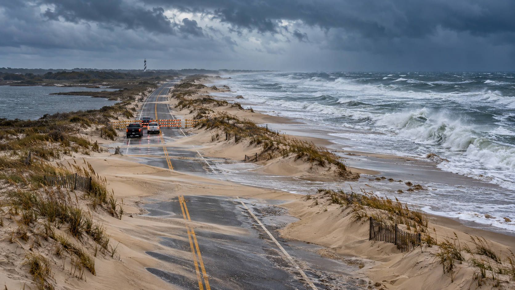
Storm surf and windblown sand surround a barricaded highway on North Carolina’s Outer Banks

A coastal storm is reshaping Outer Banks travel plans at the start of the week. As of the National Park Service’s October 18 operational update, Hatteras Island remains inaccessible to non-resident visitors under Dare County’s State of Emergency and evacuation order, while every ferry route serving Ocracoke Island is suspended.

The situation is not a blanket closure of every Outer Banks attraction. Fort Raleigh National Historic Site and Wright Brothers National Memorial are scheduled to reopen at 9 a.m. on Monday, October 19. At Cape Hatteras National Seashore, however, campgrounds, off-road vehicle routes and lighthouse climbing remain closed, and the weather threat continues well beyond Monday morning.

Cape Hatteras travel status at a glance

  • Hatteras Island: not accessible to non-resident visitors while the Dare County evacuation order remains in effect.
  • Ocracoke Island: inaccessible because ferry service from Hatteras, Swan Quarter and Cedar Island is suspended.
  • Fort Raleigh National Historic Site: scheduled to reopen at 9 a.m. October 19.
  • Wright Brothers National Memorial: scheduled to reopen at 9 a.m. October 19.
  • Cape Hatteras campgrounds, off-road vehicle routes and lighthouse climbing: closed because of hazardous conditions.
  • Other Seashore visitor facilities, including restrooms: open according to regular seasonal schedules unless a newer notice says otherwise.
  • Weather: coastal flooding, high surf, ocean overwash and dangerous currents remain the main threats.

What reopens on October 19—and what remains closed

What reopens on October 19—and what remains closed

The October 18 NPS update separates two very different parts of the Outer Banks. Fort Raleigh on Roanoke Island and Wright Brothers National Memorial in Kill Devil Hills are due to reopen at 9 a.m. Monday. Those destinations are north of Oregon Inlet and are not covered by the Hatteras Island visitor evacuation described by Dare County.

Cape Hatteras National Seashore is operating under a more limited pattern. Restrooms and other visitor facilities may follow their normal seasonal schedules, but campgrounds, all off-road vehicle routes and lighthouse climbing remain closed. A restroom being open does not mean the beach, ramp, campground or lighthouse activity beside it is safe or authorized.

Treat the reopening time as a plan, not a guarantee. Wind, flooding, downed debris or an updated local order can still change access before arrival. Check the individual NPS site page and local road conditions on the morning of the trip.

Hatteras Island’s visitor evacuation remains in effect

Dare County issued a mandatory evacuation for visitors on Hatteras Island effective at 8 p.m. Friday, October 16. The order applies to visitors in Rodanthe, Waves, Salvo, Avon, Buxton, Frisco and Hatteras Village. It does not apply to Hatteras Island residents or to communities north of Oregon Inlet.

The practical meaning is straightforward: travelers should not begin a trip toward Hatteras Island while the order is active. The NPS describes the island as inaccessible to non-resident visitors, and Dare County advises incoming guests to contact their lodging provider and change their plans.

Do not interpret a clear stretch of highway or a navigation app’s suggested route as permission to enter. Evacuation and reentry decisions come from local authorities, and conditions can deteriorate at a high-tide cycle after appearing manageable earlier in the day.

The villages covered by the visitor order

  • Rodanthe
  • Waves
  • Salvo
  • Avon
  • Buxton
  • Frisco
  • Hatteras Village

Ocracoke is cut off while ferry routes are suspended

Ocracoke Island currently has no visitor access because all three relevant ferry connections are suspended: Hatteras–Ocracoke, Swan Quarter–Ocracoke and Cedar Island–Ocracoke. That eliminates both the short northern ferry and the two mainland vehicle-ferry options.

Do not drive to a terminal expecting a standby departure. Ferry operations depend on wind, water level, channel conditions and safe loading, and service can restart in stages rather than all at once. Check the NCDOT Ferry Division immediately before leaving and again before any long drive to a terminal.

A restored ferry schedule will not automatically cancel other travel restrictions. Confirm both the ferry route and the local visitor-access order before treating Ocracoke or Hatteras as reachable.

NC Highway 12 is the critical travel problem

N.C. Highway 12 is the only continuous road serving much of Hatteras Island, and vulnerable sections can collect ocean water, soundside flooding and windblown sand. The NPS specifically warns about the stretch south of the Marc Basnight Bridge between Oregon Inlet and Rodanthe.

NCDOT staged equipment ahead of the storm, fortified protective dunes and worked on drainage, but those preparations do not make the road immune to repeated overwash. A temporary closure can become an extended closure when crews must wait for water to recede, remove sand, inspect pavement and rebuild damaged dunes.

Use DriveNC for current conditions rather than relying on an old screenshot or a route shown as open in a general navigation app. If a barricade is present, do not drive around it. Never enter water of unknown depth; saltwater can hide washed-out pavement and can damage a vehicle even when the surface looks shallow.

Why the weather window remains dangerous

The National Weather Service’s 8:56 p.m. October 18 coastal hazard message keeps a Coastal Flood Warning in effect for Hatteras Island until 5 p.m. Tuesday, October 20, and a High Surf Advisory until 6 a.m. Thursday, October 22. A Beach Hazards Statement also covers Monday.

The warning calls for 2 to 4 feet of inundation above ground level in some low-lying shoreline and tidal-waterway areas. It also forecasts breaking waves of 9 to 14 feet in the surf zone, dangerous rip currents and strong longshore currents.

This is a long-duration event rather than one brief high tide. The Weather Service says overwash may continue through multiple high-tide cycles and warns that people could be stranded for days. Stay out of the ocean, avoid flooded roads and do not walk onto a closed beach just to photograph the surf.

Rodanthe’s threatened oceanfront structures add another hazard

Several privately owned oceanfront houses in Rodanthe remain structurally compromised and at risk of collapse. Strong surf and onshore wind can undermine pilings, expose septic systems and spread construction debris far beyond the original property.

If a structure collapses, keep away from the immediate area and from beaches down-current or downwind. Debris can include nails, lumber, wiring and contaminated material. A dramatic scene is not a safe sightseeing stop, and beach access may change with little notice.

What travelers with reservations should do

  • Contact the lodging provider directly and ask about cancellation, rebooking, refunds and property access. Save the response in writing.
  • Do not start driving toward Hatteras Island while the visitor evacuation and non-resident access restriction remain active.
  • Check DriveNC, the Dare County storm page, the NPS operational update and NCDOT ferry status before selecting an alternate route.
  • Keep receipts for lodging, transportation and replacement plans if a travel-insurance claim may be necessary.
  • Do not assume a ferry restart, road reopening or park-site reopening removes every other restriction.
  • If the trip can move north, choose an attraction that is officially open and confirm its hours before departure.

A safer Outer Banks alternative while Hatteras is restricted

Fort Raleigh National Historic Site and Wright Brothers National Memorial are the clearest official alternatives in the October 18 NPS update. Both are scheduled to reopen at 9 a.m. October 19, and neither requires crossing Oregon Inlet onto Hatteras Island.

Fort Raleigh preserves the history of the English settlement attempt on Roanoke Island and provides an indoor-and-outdoor visit that can be adjusted for weather. Wright Brothers National Memorial covers the first successful powered flights at Kill Devil Hills, with a visitor center, historic flight grounds and the hilltop monument.

Even north of Oregon Inlet, expect wind, rain, standing water and possible service changes. Build a short day around one confirmed-open site, avoid oceanfront roads during the worst conditions and leave enough daylight for an uncomplicated return.

What to pack after access eventually resumes

  • Offline maps and a paper road map; mobile service can be inconsistent along the barrier islands.
  • A charged phone, vehicle charger and power bank.
  • Water, food and essential medication for longer than the planned drive.
  • A rain shell, warm layer, closed footwear and reflective emergency layer.
  • A flashlight, basic first-aid kit and vehicle emergency supplies.
  • Saved reservation, ferry and road-status information.

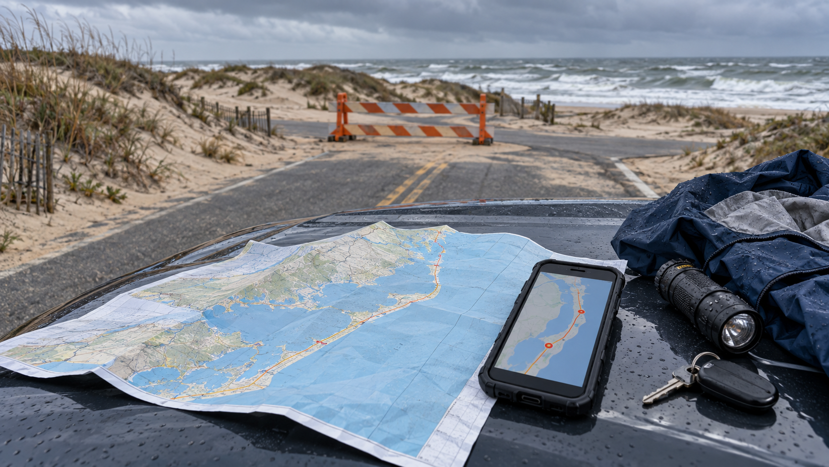
A paper map can remain useful when a storm disrupts service or forces a reroute. You can browse current Outer Banks road maps on Amazon before a future trip.

As an Amazon Associate, ReaderSpice earns from qualifying purchases.

How to monitor official updates

  • Dare County emergency information: evacuation, reentry and local government status.
  • DriveNC: live road closures, flooding and traffic conditions.
  • NCDOT Ferry Division: route suspensions and restart notices.
  • Cape Hatteras National Seashore: campground, ORV, lighthouse and facility operations.
  • National Weather Service Newport/Morehead City: coastal flood, surf, wind and beach hazards.
  • Your lodging provider: property-specific access and reservation changes.

Check the timestamp on every notice. During a long coastal event, a morning update can be overtaken by an afternoon high tide or a new local order.

The bottom line

Hatteras Island is not a normal leisure destination on October 19. Non-resident visitor access remains restricted, Ocracoke ferry service is suspended, and the weather threat includes coastal flooding, dangerous surf and repeated overwash. The safest decision is to postpone entry until local authorities announce reentry and transportation agencies confirm the route.

Fort Raleigh and Wright Brothers National Memorial offer possible alternatives beginning at 9 a.m. Monday, but they should still be verified before departure. Use official, timestamped information, keep the trip flexible and do not treat one reopened facility as proof that the entire Outer Banks route is ready.

Sources

National Park Service: Operational Updates for Oct. 19 at Cape Hatteras, Fort Raleigh and Wright Brothers National Memorial

National Park Service: Weather-Related Closures at Cape Hatteras and Nearby Sites — October 17, 2026

Dare County: Mandatory Evacuation Ordered for Hatteras Island Visitors — October 16, 2026

NCDOT: Travelers Urged to Prepare for Possible Impacts to N.C. 12

National Weather Service: Coastal Hazard Message for Hatteras and Ocracoke Islands — issued October 18, 2026

Visit North Carolina: Coastal North Carolina Travel Advisory

Blue Ridge Parkway Fall 2026 Guide: Reopened Sections, Current Closures and Best Planning Window

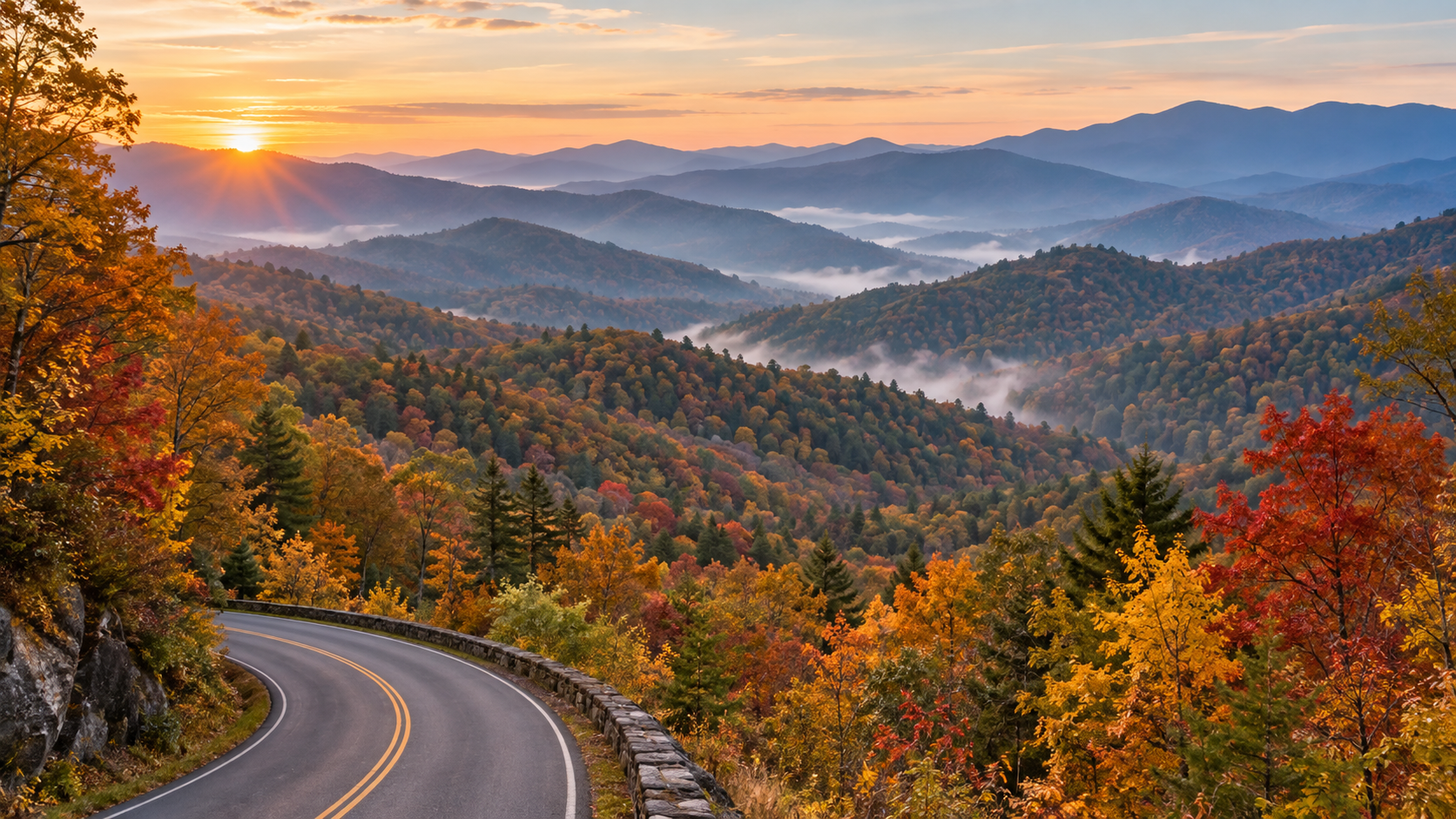
Blue Ridge Parkway curving through layered Appalachian mountains in peak autumn color at sunrise

The Blue Ridge Parkway enters the heart of its 2026 fall season with far more road restored than travelers had at the start of the year, but it is not yet a simple end-to-end drive. The National Park Service said on October 5 that 458 of the Parkway’s 469 miles had been restored after Hurricane Helene, including several important North Carolina reopenings and a completed Virginia rehabilitation project.

The most useful planning update is newer: the official road-status page was updated at 7:03 a.m. on October 14. It confirms that most sections are open while one major Helene closure, a short Virginia bridge detour and several construction zones still interrupt a seamless trip. Here is what is open, what remains closed and how to choose a realistic fall window without betting the day on one predicted peak date.

Blue Ridge Parkway fall 2026 quick take

  • Open mileage: NPS reported 458 of 469 miles restored on October 5.
  • Main remaining Helene closure: milepost 344.2 to 355.3 between NC Highway 80 and Mount Mitchell State Park remains closed, with recreation prohibited inside the closed section.
  • Virginia detour: milepost 63.5 to 63.9 around the James River Bridge is closed for rehabilitation, with detour signs posted from milepost 61.4 to 64.
  • Fall timing: color normally moves from high elevations to lower valleys through October, so no single date works across the entire 469-mile route.
  • Best crowd strategy: choose one corridor, start early on a weekday and keep a legal alternate access point ready.
  • Cost: there is no entrance fee to drive the Parkway, though campgrounds and some activities charge fees.
  • Same-day check: road status can change after the NPS page is updated, so verify the official list immediately before departure.

What reopened before peak fall travel

What reopened before peak fall travel

Two North Carolina segments reopened after Helene repairs: milepost 317.5 to 324.7 south of Linville Falls and milepost 333.9 at Little Switzerland to milepost 340.2 at NC Highway 80. By the October 14 status update, the open listing continued from Little Switzerland to Victor Crossing at milepost 342.1, but the closure farther south still prevents a continuous run toward Mount Mitchell.

The Deep Gap Bridge at milepost 276.4 also reopened after scheduled maintenance. Near Roanoke, the milepost 115 to 121 rehabilitation project is complete and open. NPS separately reported that reconstruction from milepost 229.6 north of Doughton Park to milepost 305.1 near Grandfather Mountain finished in mid-September, although the current status page still warns of sporadic, short-duration single-lane traffic control through parts of the Boone and Blowing Rock corridor.

For campers, loops B and D at Julian Price Campground reopened after Helene-related work. Reservations were made available through October 30, giving late-October travelers an official overnight option while the seasonal window remains open.

The closure that still breaks a through-drive

The important gap is milepost 344.2 to 355.3, from NC Highway 80 to Mount Mitchell State Park. NPS lists that section as closed for Helene repairs and prohibits recreation of any kind inside it. Mount Mitchell State Park itself is listed as open at milepost 355.3, but visitors must approach from a legal open route rather than attempting to cross the closed Parkway segment.

The October 5 release said the final Helene road repairs from roughly milepost 344 to 355 were slated for completion and reopening by the end of 2026. That is a target, not a guarantee for a specific trip date. Until the live road-status page changes, plan a detour or treat the open road on each side as separate outings.

Other current detours, closures and slow zones

  • James River Bridge: milepost 63.5 to 63.9 is closed for rehabilitation, with a signed detour around the short gap.
  • Roanoke Mountain Loop: closed until further notice at milepost 120.3.
  • Boone and Blowing Rock area: sporadic short-duration single-lane closures are listed across portions of milepost 261.2 to 305.1.
  • Linville Falls facilities: the campground and picnic area are closed because of Helene impacts, according to the October 14 status page.
  • Crabtree Falls: the campground is closed, the picnic area is open and hiking is prohibited because of Helene damage.
  • US Forest Service Road 63 at milepost 367.6: closed until further notice at the USFS gate.
  • Facility cautions: Linn Cove Visitor Center is temporarily closed; Otter Creek Restaurant, Bluffs Lodge and Rocky Knob Cabins are also listed as closed.

These restrictions are spread across a very long route. A closure hundreds of miles from your chosen section may not affect the day at all, while a four-tenths-mile bridge closure can matter if it sits between your lodging and first overlook. Check the milepost numbers, not just a broad “open” label.

When fall color is changing

When fall color is changing

The Parkway gains and loses more than 5,000 feet of elevation and passes through nearly 470 miles of mountain terrain. NPS says the majority of color change happens during October, generally beginning at higher elevations and moving downhill. That makes the route more flexible than a single-location foliage trip: if one ridge is past peak, a lower valley may still be improving.

A regional update posted October 12 for Virginia’s Blue Ridge described color as developing to pre-peak and suggested October 24 through November 7 as the broad viewing window around Roanoke, with higher elevations typically turning sooner. Treat that as a regional planning estimate rather than a Parkway-wide promise. Temperature, drought, rain, wind and exposure can shift conditions quickly.

For an October 18 trip, the smartest approach is to choose an elevation range, compare current webcams or recent official images and keep a lower-elevation backup. For later October, lower slopes and valleys can remain colorful after exposed high ridges have thinned.

A crowd-smart way to choose your route

Do not try to “complete” all 469 miles during a fall weekend. The Parkway’s 45 mph maximum speed, lower posted zones, overlooks, roadwork and leaf-season traffic make progress slower than a mileage app suggests. NPS notes that October is one of the heaviest traffic months.

  • Pick one section that fits your lodging and confirm every milepost between your entry and exit points.
  • Prefer Tuesday through Thursday when possible; otherwise reach the first overlook near sunrise.
  • Download the official map and a screenshot of the current road-status table before leaving reliable service.
  • Identify one state highway exit before the closure or construction zone you are most likely to encounter.
  • Skip a full overlook and continue to the next legal pullout rather than waiting in a travel lane.
  • Add at least 30 to 60 minutes of buffer to any time-sensitive reservation or sunset plan.

NPS warns that its LiveMap is currently not displaying closures, so use the written Road Status and Closures page and the Alerts and Conditions page instead of assuming the map is current.

A practical one-day fall plan

Start by checking the road-status timestamp, weather and daylight. Enter the Parkway close to the section you actually want to explore, then drive a modest out-and-back or a one-way segment with a confirmed lowland return road. Choose two or three overlooks rather than stopping at every pullout.

Use midday for a picnic, visitor center or short walk that is confirmed open. Avoid stacking a long hike, a campground check-in and a distant sunset overlook into one day. In late October, leave enough daylight for the return drive: shaded curves, wildlife and narrow shoulders become harder to manage after dark.

If the milepost 344.2 to 355.3 closure sits in your planned route, decide on the detour before entering the Parkway. Do not rely on finding a signal at the closure gate, and never enter a closed road or trail even if it appears quiet.

Camping and overnight planning

The Parkway’s eight developed campgrounds generally operate from May through late October, weather permitting. NPS lists a standard campsite fee of $30 per night and allows advance reservations through Recreation.gov. Services are basic: potable water, restrooms and dump stations are available, while showers are limited to Julian Price and Mount Pisgah.

Late-season dates and individual loops can change. Julian Price loops B and D reopened for reservations through October 30, but other facilities may close earlier or remain unavailable after storm damage. Confirm the specific campground and arrival route before paying, and bring only certified heat-treated firewood if you plan to use a fire ring.

Driving safely on the Parkway

The posted maximum is generally 45 mph, with many 35 mph and 25 mph zones. Steep grades, tightening curves, limited sight distance, wildlife, bicycles and narrow shoulders require more attention than an ordinary highway. NPS encourages drivers to use the Parkway’s overlooks for scenery rather than watching the view while moving.

  • Fuel before climbing onto the Parkway; services can be far apart and seasonal.
  • Use lower gears on long descents and expect slower vehicles on steep grades.
  • RV drivers should confirm tunnel clearances, especially south of Asheville.
  • Never stop in a travel lane for a photograph or wildlife sighting.
  • Carry warm layers and rain protection even when valley weather feels mild.
  • Leave room for sudden fog, wet leaves and short-notice weather closures.

What to pack for a fall day

  • Offline maps plus a paper backup.
  • Water, lunch and extra snacks in case a detour adds time.
  • A charged power bank and vehicle charger.
  • Warm layers, a wind-resistant shell and sturdy shoes.
  • A small first-aid kit, flashlight and reflective emergency layer.
  • Reservation confirmations and saved screenshots for any campground or activity.

A waterproof Blue Ridge Parkway map on Amazon can be a useful offline backup when a closure forces a reroute and cellular service is weak.

As an Amazon Associate, ReaderSpice earns from qualifying purchases.

The bottom line

The Blue Ridge Parkway is substantially restored for fall 2026, and the October 5 reopenings give travelers a much longer continuous drive through Virginia and northern North Carolina. The remaining Helene closure between milepost 344.2 and 355.3 still matters, however, and the James River detour plus several single-lane work zones can change a tight itinerary.

Use the October 14 road-status list as a starting point, then check it again on the morning of travel. Match your route to the elevation that is showing color, choose one manageable section and keep an alternate access road ready. That flexible plan is more valuable than chasing one supposed peak weekend.

Sources

National Park Service: Multiple Projects Completed on Blue Ridge Parkway in Time for Fall Travel — October 5, 2026

National Park Service: Blue Ridge Parkway Road Status and Closures — updated October 14, 2026

National Park Service: Blue Ridge Parkway Fall Colors

National Park Service: Blue Ridge Parkway Maps and LiveMap notice

National Park Service: Blue Ridge Parkway Driving Safety

National Park Service: Blue Ridge Parkway Camping

National Park Service: Blue Ridge Parkway Fees and Passes

Virginia’s Blue Ridge: 2026 Fall Color Schedule — updated October 12, 2026

Blue Ridge Parkway Association: Fall Color on the Parkway

Inline image: Blue Ridge Parkway reopened section in autumn

Inline alt text: Restored Blue Ridge Parkway mountain road open to cars amid colorful fall foliage

Inline image: Blue Ridge Parkway fall color elevation gradient

Inline alt text: Blue Ridge Parkway overlook showing vivid high-elevation foliage above greener valleys

Shenandoah Fall 2026 Guide: Skyline Drive, Old Rag Parking and Current Closures

Skyline Drive curves through vivid autumn foliage above layered Blue Ridge mountains in Shenandoah National Park

Shenandoah National Park is entering its busiest fall stretch with color changing across different elevations, but the smartest 2026 trip is about more than choosing a predicted peak date. Skyline Drive traffic, limited parking, fast-changing weather and several current closures can reshape a day before the first overlook.

The National Park Service posted its latest fall update on October 8, while an active backcountry closure began October 7. Old Rag visitors also face a construction-related parking change through November. Here is how to plan a useful fall visit now, including what to check, which entrance strategy can save time and why a backup route matters.

Shenandoah fall 2026 quick take

  • Latest official update: Shenandoah’s October 8 fall broadcast includes the current color report; use it with the park’s 2026 photo gallery and webcams rather than relying on one predicted peak date.
  • Skyline Drive: the park’s only public road runs 105 miles and takes about three hours to drive without long stops or heavy traffic.
  • Fall crowds: weekends bring long entrance lines, full overlooks and limited trailhead parking. Weekdays and early starts are the most reliable strategy.
  • Old Rag: a $2 day-use ticket is required from March 1 through November 30 in addition to the park entrance fee, but the ticket does not guarantee parking.
  • Old Rag parking: the main trailhead lot is closed for construction through November 2026; visitors must use the available overflow lots.
  • Current closure: the Naked Creek backcountry zone has been closed until further notice since October 7 because of recent wildlife interactions.
  • Payment: Shenandoah’s entrance stations are fully cashless and accept cards or mobile payments.

Where fall color is changing now

Where fall color is changing now

Shenandoah does not have one park-wide peak day. The park stretches for more than 100 miles and includes major changes in elevation, exposure and tree mix, so color can look different at two overlooks on the same afternoon. Higher and cooler locations may turn before lower slopes and nearby valleys.

The most dependable way to assess the 2026 season is to combine Shenandoah’s weekly fall broadcast with its official photo gallery and live webcams. The October 8 update is the newest park-produced report available for this weekend. Check again shortly before leaving because wind, rain and a cold night can change the canopy quickly.

Treat any third-party peak date as a planning estimate, not a promise. If a high ridge has passed its best color, lower elevations may still be improving. A flexible route is more useful than building the entire trip around one overlook.

How to drive Skyline Drive without losing the day to traffic

Skyline Drive follows the crest of the Blue Ridge for 105 miles. The posted speed limit is generally 35 mph, wildlife frequently crosses the road and the National Park Service says the full drive takes about three hours even before scenic stops. In fall, overlook congestion can add much more time.

Front Royal and Thornton Gap are the two busiest entrances. On a crowded weekend, consider entering at Swift Run Gap on Route 33 or Rockfish Gap on Route 64, then driving only the section that fits your day. A shorter out-and-back or one-way section with a lowland return route can be more enjoyable than forcing all 105 miles.

Arrive early, buy the entrance pass before the trip and keep an alternate overlook or trail in mind. If a parking area is full, continue to the next legal space. Parking partly on the roadway, blocking a gate or using private property can result in a tow and creates a safety hazard.

Skyline Drive planning numbers

  • Length: 105 miles from Front Royal to Rockfish Gap.
  • Typical nonstop driving time: about three hours in clear conditions.
  • Speed limit: 35 mph in most areas.
  • Road status: generally open around the clock, but sections or the entire road may close for severe weather.
  • Live alerts: text SHENALERTS to 888777 for closure and reopening notifications.
  • Fuel: the park lists only one gas station, at Big Meadows Wayside near mile 51, so fill up before entering.
  • Tunnel clearance: Marys Rock Tunnel at mile 32.2 has a maximum clearance of 12 feet 8 inches.

Old Rag needs both a ticket and a parking plan

Old Rag needs both a ticket and a parking plan

Anyone entering the Old Rag ticket area on the Ridge, Saddle or Ridge Access trails needs a day-use ticket from March 1 through November 30. The $2 ticket is separate from the Shenandoah entrance fee or pass. Tickets are released in two groups: 400 thirty days ahead and 400 five days ahead, both at 10 a.m.

The 2026 parking project is the bigger practical complication. The main Old Rag trailhead lot is closed to vehicles and pedestrians while infrastructure work continues, with completion expected in November. Overflow parking remains available, but fall weekends—especially Saturdays—can fill even when a hiker already has a ticket.

Reserve online before driving to the trailhead because cellular service is unreliable. Carry a screenshot or printed copy, bring the matching photo ID and carpool when possible. A reservation confirms access to the ticketed area; it does not reserve a parking space or guarantee that weather and trail conditions will be safe.

Current closures and cautions to check before leaving

  • Naked Creek backcountry zone: closed until further notice as of October 7 because of recent wildlife interactions.
  • Skyline Drive: weather can close individual sections or the entire road on short notice; use official alerts rather than an old screenshot.
  • Boundary access parking: use designated spaces only and follow posted restrictions, including the approach to Thompson Hollow.
  • Old Rag main parking lot: closed during the 2026 improvement project; use the designated overflow lots.
  • Backcountry plans: confirm zones, permits and closures on the day of departure. Do not route around a closure using an unofficial path.

The Naked Creek closure is localized, not a park-wide shutdown. Most visitors can still use Skyline Drive, visitor centers and other open trails, but anyone with a backcountry itinerary near the closed zone should choose a different legal route.

What remains open during the fall season

Shenandoah is open year-round, but visitor services close on different dates. The National Park Service lists Dickey Ridge Visitor Center through November 1, while Byrd Visitor Center is open year-round. Elkwallow Wayside and Skyland are scheduled through November 8, and Big Meadows Lodge and Big Meadows Wayside through November 29.

Hours and operating dates can change with staffing, utilities or weather. Carry food and water even when a concession is listed as open, and do not assume every campground has a walk-up site. Fall weekends often book months ahead, while first-come sites can fill by Thursday evening.

A practical one-day Shenandoah fall itinerary

Start before the busiest entrance rush and enter through the gate that best matches the section you want to see—not automatically the closest northern gate. Stop at a few legal overlooks rather than every pullout, then use a visitor center or wayside around midday for current conditions, restrooms and a route check.

Choose one short hike with parking alternatives instead of combining multiple famous trailheads. Stony Man, Dark Hollow Falls and other popular areas can fill early, so keep a less crowded option ready and turn around if conditions, daylight or parking no longer support the plan.

Finish with a south- or west-facing overlook if space is available, but leave before fatigue and darkness make wildlife crossings harder to see. Download maps before entering the park and tell someone your route because mobile service is unreliable along much of Skyline Drive.

What to pack for a fall day

  • Warm layers and a wind-resistant shell; ridge temperatures can feel much colder than the valley.
  • Water and food for the full day, plus a small reserve in case traffic or a closure delays the drive.
  • Offline maps, a charged power bank and a paper backup.
  • A headlamp, even for a planned daytime hike, because fall daylight ends earlier than many visitors expect.
  • Sturdy footwear and basic first-aid supplies.
  • A printed or saved entrance pass, Old Rag ticket and photo ID when applicable.

The waterproof National Geographic Shenandoah National Park map covers Skyline Drive, trails, campgrounds and key park areas and is useful when cell service disappears. Check the National Geographic Shenandoah map on Amazon before the trip.

As an Amazon Associate, ReaderSpice earns from qualifying purchases.

The bottom line

Shenandoah’s fall season rewards flexibility. Use the October 8 official update and current webcams to choose an elevation, enter through the least congested practical gate, and plan only the Skyline Drive section you can enjoy without rushing.

Old Rag requires extra preparation in 2026 because a valid ticket does not solve the reduced-parking problem. The Naked Creek closure also shows why every backcountry plan needs a same-day conditions check. With an early start, a backup route and realistic expectations, the park can still deliver a strong fall day without turning the trip into a traffic contest.

Sources

National Park Service: Shenandoah Fall Updates — October 8, 2026

National Park Service: 2026 Shenandoah Fall Color Reports

National Park Service: Fall in Shenandoah planning guidance

National Park Service: Driving Skyline Drive

National Park Service: Shenandoah alerts and current conditions

National Park Service: Old Rag day-use ticket and parking details

National Park Service: Naked Creek backcountry zone closure

National Park Service: 2026 operating dates and facility hours

Grand Canyon North Rim Fall Guide: Peak Foliage, Closures and What’s Open

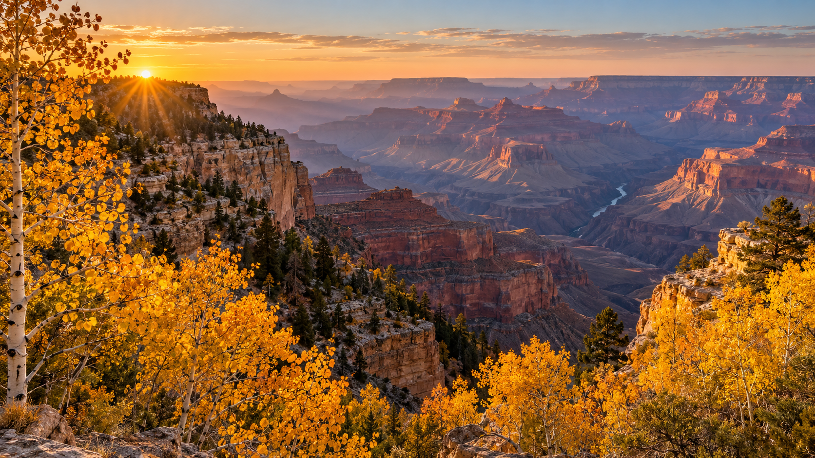
Golden aspens frame a sunrise view across the Grand Canyon from the North Rim in fall.

Fall color is peaking across the Grand Canyon’s higher country, but the North Rim’s best foliage window is also colliding with a fast-changing service calendar. Travelers arriving in early October can still pair golden aspens on the Kaibab Plateau with wide canyon overlooks—provided they bring their own food, water and fuel and check conditions before the drive.

The key planning date is October 15, 2026. That is when several North Rim services close and road-repair work temporarily shuts Cape Royal Road and Point Imperial Road. The entrance remains scheduled to stay open through November 30 or the first major snowstorm, but access after mid-October becomes a more self-sufficient, weather-dependent trip.

Why early October is the North Rim’s best fall window

Arizona’s weekly visitor update reported peak fall color around the North Rim and Kaibab Plateau for the first weekend of October. Aspens along State Route 67 and the Point Imperial corridor turn bright yellow, while the South Rim’s Gambel oaks tend toward copper and amber.

The timing is unusually favorable for a scenic drive: the leaves are near their seasonal high point, daytime temperatures are generally more comfortable than summer, and the North Rim remains reachable by road. The tradeoff is that nights can be cold, weather can turn quickly, and services are already limited.

North Rim: Peak foliage and a short access window

North Rim: Peak foliage and a short access window

The North Rim is the quieter, more remote side of Grand Canyon National Park. In 2026 there is no overnight lodging inside the North Rim developed area, potable water is unavailable, and the in-park gas station closed September 19. Visitors should fuel in the gateway area, carry more drinking water than they expect to use, and pack meals rather than counting on a last-minute purchase.

The National Park Service’s current North Rim status page says State Route 67 and the entrance are expected to remain open until November 30 or the first major snowstorm. That does not mean the full summer experience continues until then: individual services and roads close earlier, and emergency response is limited as the season winds down.

What closes on October 15

  • Cape Royal Road and Point Imperial Road close at sunset October 15 for road repairs and are scheduled to reopen at sunrise November 3, weather permitting.
  • The North Rim Backcountry Information Center closes at noon October 15.
  • The General Store closes at 4 p.m. October 15.
  • The North Rim Campground closes the morning of October 16.
  • The North Kaibab Trail remains closed following the August 29 flash flood. Several other trails and backcountry areas also remain closed, so hikers should review the live park status page rather than relying on an older map or itinerary.

South Rim: The reliable backup after North Rim services close

South Rim: The reliable backup after North Rim services close

The South Rim stays open year-round and is the safer choice for travelers who want dependable access later in the season. Fall color is subtler here than in the North Rim’s aspen groves, but coppery Gambel oaks can add warm color along sections of the Rim Trail and around wooded overlooks.

Do not treat the two rims as quick stops on the same day. Driving between them takes about 4.5 hours each way under normal conditions because the route circles the canyon. If North Rim roads or services no longer fit your plan, choose the South Rim as a separate base instead of trying to improvise a cross-canyon drive.

What is open—and what is not

  • North Rim entrance and State Route 67: scheduled to remain open through November 30 or the first major snowstorm, subject to weather and road conditions.
  • Cape Royal and Point Imperial roads: open before the October 15 sunset closure, then unavailable until the planned November 3 reopening.
  • North Rim lodging: no overnight lodging inside the park in 2026.
  • North Rim camping: the park campground closes October 16; DeMotte Campground outside the park is listed as first-come, first-served through October 31, conditions permitting.
  • North Kaibab Trail: closed. Check the park’s current closures before any hike.
  • South Rim: open year-round, with services and conditions varying by season.

A practical one-day North Rim plan

Arrive shortly after sunrise, when low light makes both the aspens and canyon walls more dramatic and traffic is lighter. Start with roadside foliage along State Route 67, then continue to the developed area and the viewpoints that are confirmed open that morning.

Before October 15, Point Imperial and Cape Royal can anchor a full scenic-driving day. Allow more time than the mileage suggests: narrow roads, wildlife, photo stops and brief walks make progress slow. After October 15, those roads are not an option until the planned November 3 reopening, so build the day around the developed-area overlooks and any routes the park confirms as open.

Eat a packed lunch, keep an eye on the sky and leave enough daylight for the return drive. Cell service is inconsistent, so download maps and save the park’s current-conditions page before leaving the gateway communities.

Pack for self-sufficient travel

  • At least one gallon of drinking water per person for a full day, plus reserve water.
  • Meals and snacks that do not depend on park concessions.
  • Warm layers, a rain shell, sun protection and sturdy footwear.
  • A full fuel tank and a realistic range plan before entering the park.
  • Offline navigation and a paper backup map.
  • A flashlight, basic first-aid supplies and a charged power bank.

A waterproof National Geographic Grand Canyon trail map is useful for orientation and as an offline backup. As an Amazon Associate, ReaderSpice may earn from qualifying purchases.

Should you go before or after October 15?

Go before October 15 if your priority is peak foliage and access to the Point Imperial and Cape Royal corridors. You will still need to arrive self-sufficient, but the scenic-road options are broader and the final seasonal services have not yet closed.

Go after October 15 only if you are comfortable with modified operations, short-notice weather changes and fewer destinations. The entrance may remain open, but the scenic roads are scheduled to be unavailable until November 3, and an early snowstorm can end the North Rim season before November 30.

Whichever rim you choose, verify the National Park Service’s alerts and North Rim status on the morning of departure. In fall, a plan that was sensible a week ago may no longer match current road, trail or weather conditions.

Sources

National Park Service: Modified Fall Operations Begin at Grand Canyon’s North Rim Oct. 15

National Park Service: North Rim Status and Closures

National Park Service: Directions and Travel to the North Rim

Arizona Office of Tourism: Grand Canyon Area Weekly Visitor Access Update, Oct. 2, 2026

National Park Service: Grand Canyon Alerts and Current Conditions

Big Bend Border Project May Shrink: What Visitors Should Know

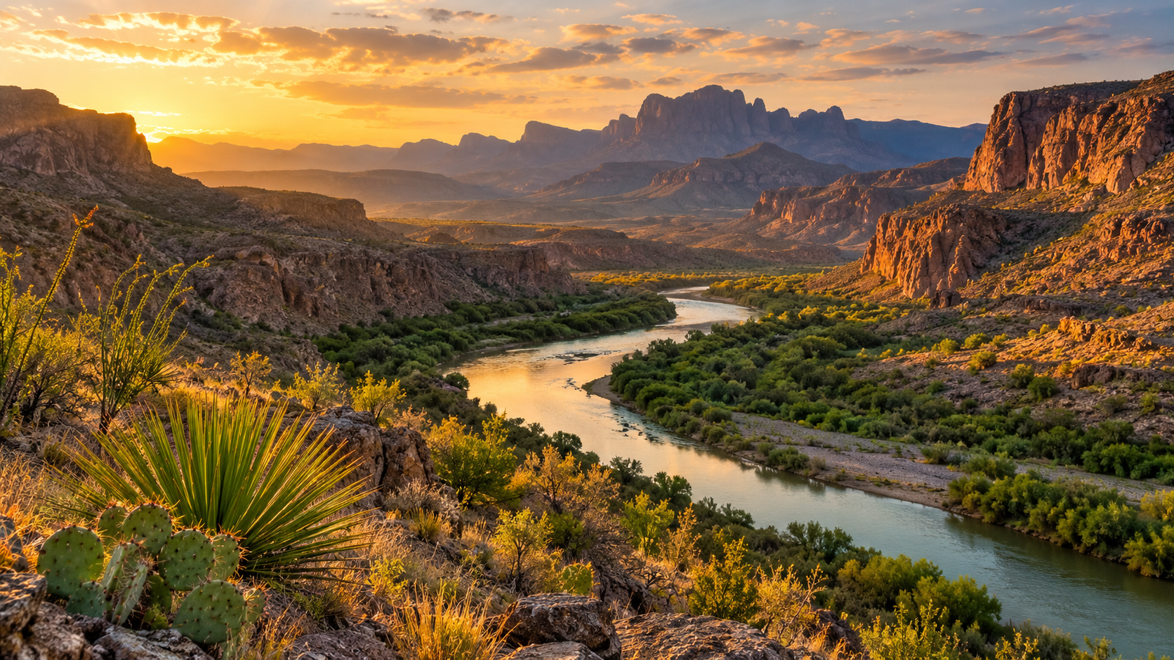
Rio Grande and desert mountains in Big Bend National Park at sunset

A federal border-security project inside Big Bend National Park may be reduced before work resumes, according to court filings described by the Associated Press. The government says it is considering changes that would narrow the plan and avoid or minimize impacts after consulting the National Park Service and other stakeholders.

For travelers, the key point is simple: no final scope has been announced. The National Park Service is still posting project-related closures around Old Maverick Road and part of the Santa Elena Boat Launch area, so visitors should plan from current park alerts rather than assumptions about what the final project will include.

What is confirmed right now

The government expects to announce a final decision during the first week of October. It also told the court that several weeks would likely pass after that announcement before any new ground-disturbing work begins inside the park.

Earlier plans for a 30-foot bollard wall through the national park were dropped. Options still under consideration have included access-road work, lighting, vehicle barriers and surveillance technology. Officials have not yet published a final map or a complete list of features that will move forward.

The construction-related pause began in August after heavy equipment was seen clearing land. Customs and Border Protection has said the activity at that stage was design and planning work rather than full-scale construction. The newest filing says adjustments are being considered, but it does not guarantee that the project will be canceled.

Why the location matters to visitors

Big Bend is not a compact park where one detour affects every itinerary. It covers a vast, remote section of West Texas, and driving between major areas can take hours. A closure near the western river corridor can complicate a Santa Elena Canyon day without preventing a visit to Chisos Basin or Rio Grande Village.

That makes the exact work zone more important than broad headlines. The park’s current alerts list Old Maverick Road as closed until further notice and restrict public access near the eastern edge of the Santa Elena Boat Launch parking area and the adjacent riverbank. The stated purpose is to keep visitors away from construction equipment and road work.

The National Park Service alert does not describe a park-wide closure. Travelers should still check the live conditions page before departure because road, facility and river conditions can change independently of the border project.

Do not confuse two different projects

Reporting about the broader Big Bend region can be confusing because the federal government is also working on a separate stretch of mostly private land west of the national park. That project is described as more than 60 miles long and includes a 30-foot steel bollard wall, roads and surveillance technology where officials consider it appropriate.

The pending decision discussed here concerns work inside Big Bend National Park. A resumption of activity on private property elsewhere in West Texas does not automatically mean the same design will be used within park boundaries.

How to plan a Big Bend trip while the decision is pending

How to plan a Big Bend trip while the decision is pending

Start with the official NPS Alerts & Conditions page, then build a route that does not depend on a single primitive road. If Santa Elena Canyon is a priority, verify the current access plan shortly before leaving your lodging and ask a ranger about river and trail conditions when you arrive.

  • Download maps before entering the park; cell coverage is limited and distances are large.
  • Carry more water than you expect to need and keep your fuel tank well above empty.
  • Use paved roads unless your vehicle and experience match the park’s high-clearance and four-wheel-drive guidance.
  • Keep a backup half-day destination, such as the Chisos Basin scenic drive or a visitor-center stop, in case access changes.

For remote-area communication beyond normal phone coverage, a Garmin inReach Mini 2 satellite communicator can be a sensible addition to a desert travel kit. As an Amazon Associate, ReaderSpice earns from qualifying purchases.

What to watch next

The most useful next update will be the promised public announcement from Customs and Border Protection. Travelers should look for a final project scope, maps, a construction timeline and any revised National Park Service closure orders.

Until those details appear, claims that a wall is definitely returning inside the park—or that the project has been fully abandoned—go beyond the available evidence. The confirmed news is narrower: the agency is considering a smaller plan, expects a decision in early October and says ground-disturbing work would not begin immediately after that decision.

Sources

Associated Press report on the Big Bend project review

National Park Service Big Bend alerts and conditions

Houston Chronicle report on the pending federal decision

Great Smoky Mountains Fall Foliage Guide 2026: Best Time, Scenic Drives and Crowd-Smart Tips

Autumn foliage and misty ridges along a scenic road in Great Smoky Mountains National Park

Great Smoky Mountains National Park does not have one universal “peak week.” Its elevation changes from about 875 feet to 6,643 feet, so autumn color typically moves downhill over several weeks. That makes the park more forgiving than a single-date foliage destination—but only if you match your route to the elevation and arrive with a backup plan.

For 2026, the safest strategy is to treat mid-September through early November as a moving window, then use current park conditions and webcams to fine-tune your day. October is normally the park’s busiest month, and the National Park Service warns that travel can take hours longer than expected when roads and overlooks fill.

When fall colors peak at different elevations

Fall color changing by elevation across misty Great Smoky Mountains ridges

At the highest elevations, leaves can begin changing as early as mid-September. By early to mid-October, color commonly develops above 4,000 feet. The most vivid color at middle and lower elevations—where sugar maples, scarlet oaks, sweetgums and hickories add stronger reds and golds—often arrives from mid-October into early November.

That sequence is more useful than choosing a single predicted peak date. Early-season visitors should prioritize the high country around Newfound Gap and Kuwohi. Later in October, shift toward Cades Cove, Little River Road, Roaring Fork and the lower park gateways. Warm nights, drought, wind or a hard freeze can speed up or delay the show, so check the NPS current conditions page shortly before you leave.

The best scenic drives for fall foliage

Newfound Gap Road and Kuwohi for the high-elevation strategy

Newfound Gap Road (US 441) crosses the park between Gatlinburg and Cherokee and gives you the broadest elevation range in one drive. It is the best first choice when color is still concentrated high on the ridges. Kuwohi Road, formerly Clingmans Dome Road, is scheduled to remain open through November 29 in 2026, weather permitting. Snow, ice, wind or other hazards can still close it with little notice.

Build extra time into this route. Overlooks are small, pullouts can fill quickly and high-elevation weather can be very different from conditions in Gatlinburg or Cherokee. If the Kuwohi parking area is full, continue to another legal overlook instead of waiting in the roadway.

Foothills Parkway for broad mountain views

Foothills Parkway West is a strong alternative when the park’s central corridor is backed up. Its long-range views show multiple ridgelines at once, making it especially rewarding when color is spread across elevations. It also works well near sunrise or late afternoon, when low-angle light adds depth to the blue ridges and autumn canopy.

Cades Cove for valleys, wildlife and historic scenery

The 11-mile, one-way Cades Cove Loop combines lower-elevation foliage with historic buildings and open valley views. The tradeoff is congestion: wildlife sightings, crowded pullouts and slow traffic can turn the loop into a multi-hour drive. Enter early on a weekday, carry food and water, and do not plan a tight connection afterward.

Vehicle-free Wednesdays run through September 30 in 2026. On those Wednesdays, motor vehicles are excluded from the loop all day, although a parking tag is still required if you park for more than 15 minutes. The vehicle-free period has ended by the heart of October foliage season, but visitors arriving in late September should plan around it.

Roaring Fork and quieter alternatives

Roaring Fork Motor Nature Trail is a compact, forested one-way drive near Gatlinburg. The 2026 seasonal schedule keeps it open through November 29, weather permitting, and vehicles longer than 25 feet are prohibited. If central roads are gridlocked, consider the Oconaluftee side, Deep Creek near Bryson City, Cosby or the Abrams Creek and Look Rock area rather than spending the day in traffic.

A practical two-day fall itinerary

Day 1: Start before sunrise on Newfound Gap Road, stopping only at legal pullouts. Continue toward Kuwohi if the road is open and parking is available. After the high country, descend toward Oconaluftee for lower-elevation color and a less frantic afternoon. Keep the route flexible enough to skip any stop that is already full.

Day 2: Choose either Cades Cove or Foothills Parkway—not both unless traffic is unusually light. At Cades Cove, allow several hours and pair the loop with one short walk. On Foothills Parkway, combine overlooks with Look Rock. This split keeps you from repeatedly crossing the busiest center of the park.

Parking tags and what they do not guarantee

  • Daily parking tag: $5
  • Weekly parking tag: $15
  • Annual parking tag: $40

A tag is required when a vehicle is parked inside the park for more than 15 minutes. Daily and weekly tags bought online must be printed and displayed; a phone image is not accepted. Each tag is tied to one license plate, and America the Beautiful passes do not replace the Smokies parking tag. Most importantly, buying a tag does not reserve or guarantee a parking space.

Rental-car users should wait until they know the license plate number. If you purchase online through Recreation.gov, print the tag before entering the park because staff will not print it for you. Trailheads frequently do not have tag machines.

How to beat October crowds

  • Travel on a Tuesday, Wednesday or Thursday when possible.
  • Reach the first stop before sunrise, or visit popular overlooks late in the afternoon.
  • Choose one priority drive and one backup area on the same side of the park.
  • Download maps before entering; mobile service is unreliable in many valleys.
  • Carry lunch, water, layers and a basic first-aid kit so a full parking area does not derail the day.
  • Never park on vegetation, block a lane or wait in a traffic lane for a space.

The best crowd strategy is geographic, not just chronological. If Newfound Gap Road is stalled, changing to another nearby overlook may not help. A better Plan B is a different park sector—Foothills Parkway, Cosby, Deep Creek or Oconaluftee—where the traffic pattern can be completely different.

Short hikes that add color without consuming the day

For an easy riverside option, the Oconaluftee River Trail offers lower-elevation forest near Cherokee. Look Rock Tower provides a broad western view with a relatively short walk. Porters Creek and the Little River–Cucumber Gap area can deliver colorful hardwoods, but always check current trail alerts before driving to a trailhead. Laurel Falls Trail remains listed as closed for rehabilitation, and Bullhead Trail has weekday construction closures through November 19, 2026.

What to pack for shifting mountain weather

Bring a warm layer and rain shell even when the gateway towns feel mild. Higher elevations can be colder, windier and cloudier, and early-morning overlooks may be slick. Sturdy shoes, water, a flashlight, a paper map and a charged phone or power bank are sensible even for a drive-focused day.

A waterproof paper map remains useful when service disappears or a closure forces a reroute. The National Geographic Trails Illustrated Great Smoky Mountains map covers park roads, trails, overlooks and surrounding public lands.

Disclosure: ReaderSpice may earn a commission from qualifying Amazon purchases at no extra cost to you.

The bottom line

The smartest 2026 Smokies foliage trip follows the color downhill. Aim high in late September and early October, favor the middle and lower elevations later in October, and treat early November as a possible bonus rather than a promise. Buy and print the correct parking tag, check road and trail alerts the morning of your visit, and keep one alternate park sector ready. Flexibility is the difference between a day spent watching brake lights and one spent watching the mountains change color.

Sources

NPS: Fall Colors in Great Smoky Mountains National Park

NPS: Fees and Parking Tags

NPS: 2026 Seasonal Road Schedule

NPS: Cades Cove Vehicle-Free Wednesdays

NPS: Current Conditions and Closures

10 Beautiful Fall Road Trips in the U.S. for 2026: Where to See the Best Autumn Colors

Fall road trips have a special kind of magic. Cooler temperatures make long drives more comfortable, summer crowds begin to thin, and forests across the United States turn into sweeping landscapes of red, orange, gold, and yellow. The challenge is timing your trip well: peak color can shift from year to year depending on elevation, latitude, temperature, rainfall, and local weather.

If you are planning an autumn getaway in 2026, these ten routes offer a mix of mountain scenery, national parks, lakeshores, small towns, and classic American highways. Instead of treating peak foliage dates as guarantees, use the timing below as a planning window and check local foliage reports shortly before leaving.

1. Blue Ridge Parkway — Virginia and North Carolina

Few American roads are as closely associated with fall as the Blue Ridge Parkway. The route winds through the Appalachian Mountains between Virginia and North Carolina, giving travelers repeated overlooks, forested ridges, hiking opportunities, and access to communities throughout the region.

The National Park Service highlights the Blue Ridge Parkway as one of the country’s standout places for autumn color. Because the parkway covers a long distance and major changes in elevation, color does not peak everywhere at once. That can actually help road trippers: if one elevation has passed peak, another part of the route may still be approaching its best color.

Best for: Mountain overlooks, photography, hiking, and a multi-day scenic drive.

2. Skyline Drive and Shenandoah National Park — Virginia

Skyline Drive runs through Shenandoah National Park and is one of the easiest ways to experience a broad Appalachian fall landscape from the car. The National Park Service describes Shenandoah as particularly well known for fall color, with views across valleys and forested mountains.

Build extra time into the drive. The best experience is not simply reaching the other end; it is stopping at overlooks, taking a short trail, and watching the landscape change as the road gains and loses elevation. Travelers coming from the Washington, D.C. region can also turn Shenandoah into a manageable weekend road trip.

Best for: A weekend getaway, panoramic overlooks, and easy access from the Mid-Atlantic.

3. Great Smoky Mountains — Tennessee and North Carolina

Great Smoky Mountains National Park combines dense forests, mountain roads, streams, and one of the most diverse fall landscapes in the Southeast. The National Park Service specifically recommends autumn drives and hikes in the park, including options that can help visitors explore beyond the busiest areas.

Elevation matters here. Higher areas can begin changing earlier while lower valleys often hold their color later. That extended transition gives travelers a wider opportunity to see foliage than a destination where everything changes at roughly the same time.

Best for: Families, mountain drives, hiking, and combining scenery with a longer Tennessee or North Carolina trip.

4. Kancamagus Highway — New Hampshire

New Hampshire’s Kancamagus Highway, often called “the Kanc,” is a classic New England foliage drive through the White Mountains. Visit New Hampshire describes the scenic stretch as 34.5 miles long and warns that there are no gas stations along the route and little to no cell service in places.

The drive can be completed quickly when traffic is light, but peak foliage season can dramatically increase travel time. Fill the tank before entering the route, download offline maps, and leave enough time for overlooks and short walks rather than trying to rush through.

Best for: Classic New England color, mountain scenery, and a compact one-day road trip.

5. Acadia National Park and Park Loop Road — Maine

Acadia offers something different from an inland forest drive: autumn foliage alongside lakes, granite mountains, and the Maine coast. The National Park Service says the park’s 27-mile Park Loop Road passes forests, lakes, mountains, shoreline scenery, overlooks, picnic areas, and trailheads.

A fall trip can combine the loop with stops around Jordan Pond, Otter Point, and other well-known areas. Check current park conditions and any vehicle-reservation requirements that apply to specific destinations before traveling.

Best for: Coastal scenery, photography, hiking, and travelers who want fall color plus ocean views.

6. Rocky Mountain National Park — Colorado

Colorado’s autumn palette is different from the dense red-and-orange forests of the East. In Rocky Mountain National Park, golden aspens stand out against evergreens and high mountain terrain. The National Park Service notes that fall color progresses down the mountains from higher subalpine areas toward lower elevations.

Weather can change quickly in the Rockies, particularly as autumn advances. Check road conditions before setting out, carry layers, and avoid assuming that a warm afternoon at lower elevation means conditions will be the same higher in the park.

Best for: Golden aspens, dramatic mountain backdrops, wildlife viewing, and high-elevation scenery.

7. M-22 and the Leelanau Peninsula — Michigan

Michigan is easy to overlook when planning a national fall road trip, but its combination of hardwood forests and Great Lakes shoreline makes it a strong autumn destination. Pure Michigan highlights M-22 along the Leelanau Peninsula for its fall color and glimpses of Lake Michigan.

Michigan’s color generally progresses from north to south, with the Upper Peninsula changing before much of the Lower Peninsula. That makes a current foliage map especially useful when deciding exactly where to drive. M-22 works well for travelers who want colorful roads without giving up lake views and small-town stops.

Best for: Great Lakes scenery, small towns, shoreline drives, and Midwest road trips.

8. Natchez Trace Parkway — Mississippi, Alabama, and Tennessee

For a slower-paced Southern fall drive, the Natchez Trace Parkway offers a long corridor through Mississippi, Alabama, and Tennessee. The National Park Service recommends the parkway for its crimson foliage and autumn atmosphere.

This is a good choice for travelers who prefer a road-trip experience built around the journey itself. Rather than chasing a single famous viewpoint, plan a series of short stops and allow the route’s forests and historic landscape to set the pace.

Best for: Relaxed driving, Southern scenery, and travelers who prefer a less mountainous route.

9. Guadalupe Mountains National Park — Texas

Texas may not be the first state that comes to mind for fall foliage, but Guadalupe Mountains National Park gives Texans a late-season option. According to the National Park Service, leaves in the Guadalupe Mountains usually begin changing from mid-October through mid-November, making the park one of the later opportunities on this list.

For travelers starting in Texas, it can also be an appealing alternative to flying across the country just to see autumn color. Remember that this is rugged desert-and-mountain country, so check trail, weather, water, and road information before departure.

Best for: Texas road trippers, late-season color, hiking, and desert-meets-mountain scenery.

10. A Michigan Upper Peninsula Fall Drive

If you want a longer northern adventure, Michigan’s Upper Peninsula can deliver an entirely different scale of fall scenery. Pure Michigan notes that color arrives earlier in the Upper Peninsula than in the Lower Peninsula and highlights routes such as the Black River National Forest Scenic Byway near Lake Superior.

The Upper Peninsula is best treated as a multi-day trip rather than a quick drive. Distances can be substantial, weather can shift, and the temptation to stop for waterfalls, lake views, forest roads, and overlooks will slow you down — in a good way.

Best for: Multi-day adventures, waterfalls, Lake Superior scenery, and travelers who want to get away from major cities.

When Is the Best Time for a Fall Road Trip?

There is no single nationwide peak-foliage week. Northern destinations and high elevations generally begin changing earlier, while southern and lower-elevation destinations can hold color later. New Hampshire’s official foliage guidance says northern parts of the state historically begin showing color around mid-September, with the White Mountains following later in September. In Texas, the National Park Service says Guadalupe Mountains typically changes much later, from roughly mid-October into mid-November.

For 2026, treat historical timing as a starting point rather than a promise. Check an official park page, state tourism foliage tracker, road conditions, and the weather forecast during the week before your trip.

What to Pack for a Fall Road Trip

Autumn road trips can involve warm afternoons, cold mornings, rain, wind, and occasionally early snow at higher elevations. A few practical items can make the drive easier:

• A reliable phone mount for navigation

• A USB-C car charger or portable power bank

• Refillable water bottles and a small travel cooler

• A compact first-aid and roadside emergency kit

• Layers, including a light insulated jacket and rain shell

• Comfortable walking or hiking shoes

• A flashlight or headlamp

• Offline maps for areas with weak cellular coverage

If you are building your road-trip kit, check current travel essentials on Amazon before you leave. Prices and availability can change, so compare options based on your vehicle, trip length, and destination.

How to Make the Most of Your Fall Drive

Start early. Popular foliage routes can become crowded by late morning, especially on weekends. Sunrise and early-morning light can also produce some of the best photography.

Download maps before leaving reliable cellular coverage, keep the fuel tank comfortably above empty, and avoid stopping on road shoulders unless parking is explicitly permitted. Use designated overlooks and pullouts instead.

Most importantly, keep your itinerary flexible. Fall color is a natural event, not a scheduled attraction. A route that is slightly before or after peak can still be beautiful, and changing your elevation or driving an hour north or south may completely change what you see.

Final Thoughts

The best fall road trip is not necessarily the route with the most famous foliage. It is the one that fits your timing, driving distance, preferred scenery, and available days. The Blue Ridge Parkway and Shenandoah deliver classic Appalachian views; the Kancamagus Highway and Acadia provide a quintessential New England experience; Rocky Mountain National Park brings golden aspens and dramatic peaks; Michigan mixes hardwood color with Great Lakes scenery; and Guadalupe Mountains gives Texas travelers a later-season option.

Choose a route, watch the local foliage reports, and leave room in the schedule for unexpected stops. In autumn, the detours are often the part of the trip you remember most.

Sources

National Park Service — Autumn in National Parks

Visit New Hampshire — Ultimate NH Fall Foliage Road Trip Guide

National Park Service — Acadia Park Loop Road

Pure Michigan — Fall Color in Pure Michigan

Pure Michigan — Beautiful Places in Michigan to Visit in the Fall