
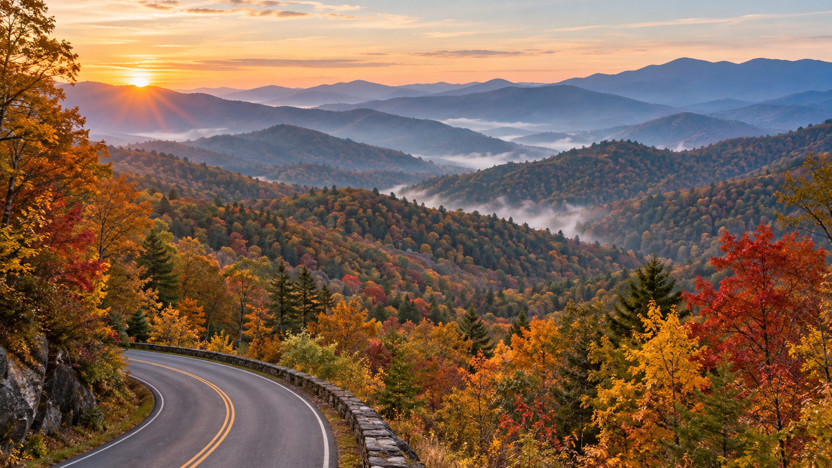
Great Smoky Mountains National Park does not have one universal “peak week.” Its elevation changes from about 875 feet to 6,643 feet, so autumn color typically moves downhill over several weeks. That makes the park more forgiving than a single-date foliage destination—but only if you match your route to the elevation and arrive with a backup plan.
For 2026, the safest strategy is to treat mid-September through early November as a moving window, then use current park conditions and webcams to fine-tune your day. October is normally the park’s busiest month, and the National Park Service warns that travel can take hours longer than expected when roads and overlooks fill.
When fall colors peak at different elevations
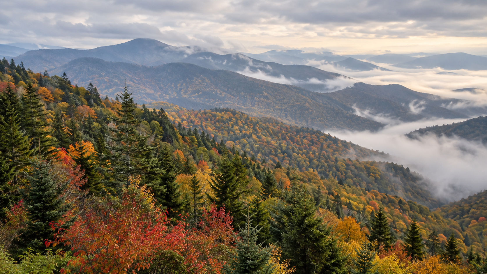
At the highest elevations, leaves can begin changing as early as mid-September. By early to mid-October, color commonly develops above 4,000 feet. The most vivid color at middle and lower elevations—where sugar maples, scarlet oaks, sweetgums and hickories add stronger reds and golds—often arrives from mid-October into early November.
That sequence is more useful than choosing a single predicted peak date. Early-season visitors should prioritize the high country around Newfound Gap and Kuwohi. Later in October, shift toward Cades Cove, Little River Road, Roaring Fork and the lower park gateways. Warm nights, drought, wind or a hard freeze can speed up or delay the show, so check the NPS current conditions page shortly before you leave.
The best scenic drives for fall foliage
Newfound Gap Road and Kuwohi for the high-elevation strategy
Newfound Gap Road (US 441) crosses the park between Gatlinburg and Cherokee and gives you the broadest elevation range in one drive. It is the best first choice when color is still concentrated high on the ridges. Kuwohi Road, formerly Clingmans Dome Road, is scheduled to remain open through November 29 in 2026, weather permitting. Snow, ice, wind or other hazards can still close it with little notice.
Build extra time into this route. Overlooks are small, pullouts can fill quickly and high-elevation weather can be very different from conditions in Gatlinburg or Cherokee. If the Kuwohi parking area is full, continue to another legal overlook instead of waiting in the roadway.
Foothills Parkway for broad mountain views
Foothills Parkway West is a strong alternative when the park’s central corridor is backed up. Its long-range views show multiple ridgelines at once, making it especially rewarding when color is spread across elevations. It also works well near sunrise or late afternoon, when low-angle light adds depth to the blue ridges and autumn canopy.
Cades Cove for valleys, wildlife and historic scenery
The 11-mile, one-way Cades Cove Loop combines lower-elevation foliage with historic buildings and open valley views. The tradeoff is congestion: wildlife sightings, crowded pullouts and slow traffic can turn the loop into a multi-hour drive. Enter early on a weekday, carry food and water, and do not plan a tight connection afterward.
Vehicle-free Wednesdays run through September 30 in 2026. On those Wednesdays, motor vehicles are excluded from the loop all day, although a parking tag is still required if you park for more than 15 minutes. The vehicle-free period has ended by the heart of October foliage season, but visitors arriving in late September should plan around it.
Roaring Fork and quieter alternatives
Roaring Fork Motor Nature Trail is a compact, forested one-way drive near Gatlinburg. The 2026 seasonal schedule keeps it open through November 29, weather permitting, and vehicles longer than 25 feet are prohibited. If central roads are gridlocked, consider the Oconaluftee side, Deep Creek near Bryson City, Cosby or the Abrams Creek and Look Rock area rather than spending the day in traffic.
A practical two-day fall itinerary
Day 1: Start before sunrise on Newfound Gap Road, stopping only at legal pullouts. Continue toward Kuwohi if the road is open and parking is available. After the high country, descend toward Oconaluftee for lower-elevation color and a less frantic afternoon. Keep the route flexible enough to skip any stop that is already full.
Day 2: Choose either Cades Cove or Foothills Parkway—not both unless traffic is unusually light. At Cades Cove, allow several hours and pair the loop with one short walk. On Foothills Parkway, combine overlooks with Look Rock. This split keeps you from repeatedly crossing the busiest center of the park.
Parking tags and what they do not guarantee
- Daily parking tag: $5
- Weekly parking tag: $15
- Annual parking tag: $40
A tag is required when a vehicle is parked inside the park for more than 15 minutes. Daily and weekly tags bought online must be printed and displayed; a phone image is not accepted. Each tag is tied to one license plate, and America the Beautiful passes do not replace the Smokies parking tag. Most importantly, buying a tag does not reserve or guarantee a parking space.
Rental-car users should wait until they know the license plate number. If you purchase online through Recreation.gov, print the tag before entering the park because staff will not print it for you. Trailheads frequently do not have tag machines.
How to beat October crowds
- Travel on a Tuesday, Wednesday or Thursday when possible.
- Reach the first stop before sunrise, or visit popular overlooks late in the afternoon.
- Choose one priority drive and one backup area on the same side of the park.
- Download maps before entering; mobile service is unreliable in many valleys.
- Carry lunch, water, layers and a basic first-aid kit so a full parking area does not derail the day.
- Never park on vegetation, block a lane or wait in a traffic lane for a space.
The best crowd strategy is geographic, not just chronological. If Newfound Gap Road is stalled, changing to another nearby overlook may not help. A better Plan B is a different park sector—Foothills Parkway, Cosby, Deep Creek or Oconaluftee—where the traffic pattern can be completely different.
Short hikes that add color without consuming the day
For an easy riverside option, the Oconaluftee River Trail offers lower-elevation forest near Cherokee. Look Rock Tower provides a broad western view with a relatively short walk. Porters Creek and the Little River–Cucumber Gap area can deliver colorful hardwoods, but always check current trail alerts before driving to a trailhead. Laurel Falls Trail remains listed as closed for rehabilitation, and Bullhead Trail has weekday construction closures through November 19, 2026.
What to pack for shifting mountain weather
Bring a warm layer and rain shell even when the gateway towns feel mild. Higher elevations can be colder, windier and cloudier, and early-morning overlooks may be slick. Sturdy shoes, water, a flashlight, a paper map and a charged phone or power bank are sensible even for a drive-focused day.
A waterproof paper map remains useful when service disappears or a closure forces a reroute. The National Geographic Trails Illustrated Great Smoky Mountains map covers park roads, trails, overlooks and surrounding public lands.
Disclosure: ReaderSpice may earn a commission from qualifying Amazon purchases at no extra cost to you.
The bottom line
The smartest 2026 Smokies foliage trip follows the color downhill. Aim high in late September and early October, favor the middle and lower elevations later in October, and treat early November as a possible bonus rather than a promise. Buy and print the correct parking tag, check road and trail alerts the morning of your visit, and keep one alternate park sector ready. Flexibility is the difference between a day spent watching brake lights and one spent watching the mountains change color.
Sources
NPS: Fall Colors in Great Smoky Mountains National Park
NPS: 2026 Seasonal Road Schedule
NPS: Cades Cove Vehicle-Free Wednesdays
NPS: Current Conditions and Closures