
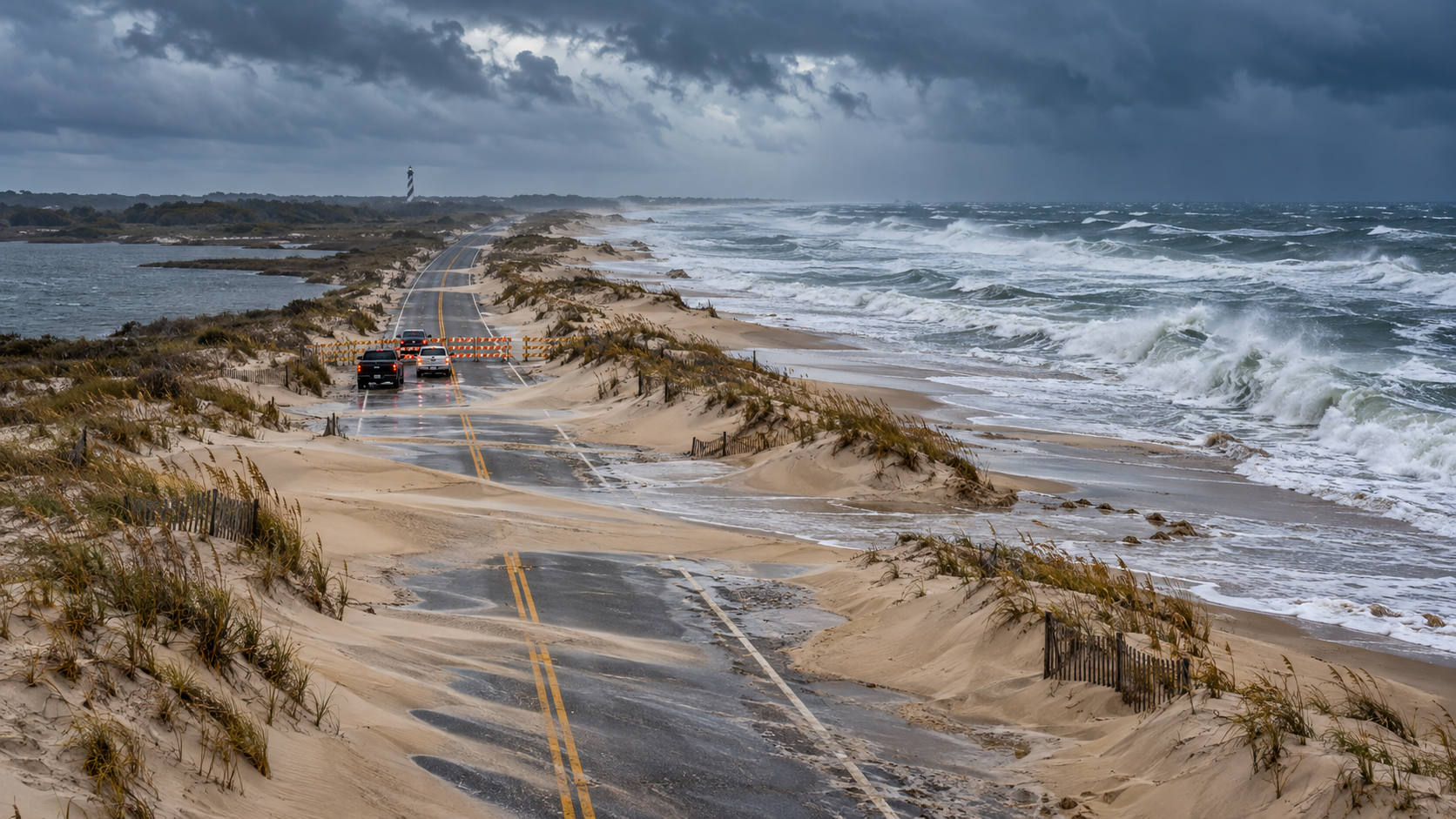
A coastal storm is reshaping Outer Banks travel plans at the start of the week. As of the National Park Service’s October 18 operational update, Hatteras Island remains inaccessible to non-resident visitors under Dare County’s State of Emergency and evacuation order, while every ferry route serving Ocracoke Island is suspended.
The situation is not a blanket closure of every Outer Banks attraction. Fort Raleigh National Historic Site and Wright Brothers National Memorial are scheduled to reopen at 9 a.m. on Monday, October 19. At Cape Hatteras National Seashore, however, campgrounds, off-road vehicle routes and lighthouse climbing remain closed, and the weather threat continues well beyond Monday morning.
Cape Hatteras travel status at a glance
- Hatteras Island: not accessible to non-resident visitors while the Dare County evacuation order remains in effect.
- Ocracoke Island: inaccessible because ferry service from Hatteras, Swan Quarter and Cedar Island is suspended.
- Fort Raleigh National Historic Site: scheduled to reopen at 9 a.m. October 19.
- Wright Brothers National Memorial: scheduled to reopen at 9 a.m. October 19.
- Cape Hatteras campgrounds, off-road vehicle routes and lighthouse climbing: closed because of hazardous conditions.
- Other Seashore visitor facilities, including restrooms: open according to regular seasonal schedules unless a newer notice says otherwise.
- Weather: coastal flooding, high surf, ocean overwash and dangerous currents remain the main threats.
What reopens on October 19—and what remains closed
The October 18 NPS update separates two very different parts of the Outer Banks. Fort Raleigh on Roanoke Island and Wright Brothers National Memorial in Kill Devil Hills are due to reopen at 9 a.m. Monday. Those destinations are north of Oregon Inlet and are not covered by the Hatteras Island visitor evacuation described by Dare County.
Cape Hatteras National Seashore is operating under a more limited pattern. Restrooms and other visitor facilities may follow their normal seasonal schedules, but campgrounds, all off-road vehicle routes and lighthouse climbing remain closed. A restroom being open does not mean the beach, ramp, campground or lighthouse activity beside it is safe or authorized.
Treat the reopening time as a plan, not a guarantee. Wind, flooding, downed debris or an updated local order can still change access before arrival. Check the individual NPS site page and local road conditions on the morning of the trip.
Hatteras Island’s visitor evacuation remains in effect
Dare County issued a mandatory evacuation for visitors on Hatteras Island effective at 8 p.m. Friday, October 16. The order applies to visitors in Rodanthe, Waves, Salvo, Avon, Buxton, Frisco and Hatteras Village. It does not apply to Hatteras Island residents or to communities north of Oregon Inlet.
The practical meaning is straightforward: travelers should not begin a trip toward Hatteras Island while the order is active. The NPS describes the island as inaccessible to non-resident visitors, and Dare County advises incoming guests to contact their lodging provider and change their plans.
Do not interpret a clear stretch of highway or a navigation app’s suggested route as permission to enter. Evacuation and reentry decisions come from local authorities, and conditions can deteriorate at a high-tide cycle after appearing manageable earlier in the day.
The villages covered by the visitor order
- Rodanthe
- Waves
- Salvo
- Avon
- Buxton
- Frisco
- Hatteras Village
Ocracoke is cut off while ferry routes are suspended
Ocracoke Island currently has no visitor access because all three relevant ferry connections are suspended: Hatteras–Ocracoke, Swan Quarter–Ocracoke and Cedar Island–Ocracoke. That eliminates both the short northern ferry and the two mainland vehicle-ferry options.
Do not drive to a terminal expecting a standby departure. Ferry operations depend on wind, water level, channel conditions and safe loading, and service can restart in stages rather than all at once. Check the NCDOT Ferry Division immediately before leaving and again before any long drive to a terminal.
A restored ferry schedule will not automatically cancel other travel restrictions. Confirm both the ferry route and the local visitor-access order before treating Ocracoke or Hatteras as reachable.
NC Highway 12 is the critical travel problem
N.C. Highway 12 is the only continuous road serving much of Hatteras Island, and vulnerable sections can collect ocean water, soundside flooding and windblown sand. The NPS specifically warns about the stretch south of the Marc Basnight Bridge between Oregon Inlet and Rodanthe.
NCDOT staged equipment ahead of the storm, fortified protective dunes and worked on drainage, but those preparations do not make the road immune to repeated overwash. A temporary closure can become an extended closure when crews must wait for water to recede, remove sand, inspect pavement and rebuild damaged dunes.
Use DriveNC for current conditions rather than relying on an old screenshot or a route shown as open in a general navigation app. If a barricade is present, do not drive around it. Never enter water of unknown depth; saltwater can hide washed-out pavement and can damage a vehicle even when the surface looks shallow.
Why the weather window remains dangerous
The National Weather Service’s 8:56 p.m. October 18 coastal hazard message keeps a Coastal Flood Warning in effect for Hatteras Island until 5 p.m. Tuesday, October 20, and a High Surf Advisory until 6 a.m. Thursday, October 22. A Beach Hazards Statement also covers Monday.
The warning calls for 2 to 4 feet of inundation above ground level in some low-lying shoreline and tidal-waterway areas. It also forecasts breaking waves of 9 to 14 feet in the surf zone, dangerous rip currents and strong longshore currents.
This is a long-duration event rather than one brief high tide. The Weather Service says overwash may continue through multiple high-tide cycles and warns that people could be stranded for days. Stay out of the ocean, avoid flooded roads and do not walk onto a closed beach just to photograph the surf.
Rodanthe’s threatened oceanfront structures add another hazard
Several privately owned oceanfront houses in Rodanthe remain structurally compromised and at risk of collapse. Strong surf and onshore wind can undermine pilings, expose septic systems and spread construction debris far beyond the original property.
If a structure collapses, keep away from the immediate area and from beaches down-current or downwind. Debris can include nails, lumber, wiring and contaminated material. A dramatic scene is not a safe sightseeing stop, and beach access may change with little notice.
What travelers with reservations should do
- Contact the lodging provider directly and ask about cancellation, rebooking, refunds and property access. Save the response in writing.
- Do not start driving toward Hatteras Island while the visitor evacuation and non-resident access restriction remain active.
- Check DriveNC, the Dare County storm page, the NPS operational update and NCDOT ferry status before selecting an alternate route.
- Keep receipts for lodging, transportation and replacement plans if a travel-insurance claim may be necessary.
- Do not assume a ferry restart, road reopening or park-site reopening removes every other restriction.
- If the trip can move north, choose an attraction that is officially open and confirm its hours before departure.
A safer Outer Banks alternative while Hatteras is restricted
Fort Raleigh National Historic Site and Wright Brothers National Memorial are the clearest official alternatives in the October 18 NPS update. Both are scheduled to reopen at 9 a.m. October 19, and neither requires crossing Oregon Inlet onto Hatteras Island.
Fort Raleigh preserves the history of the English settlement attempt on Roanoke Island and provides an indoor-and-outdoor visit that can be adjusted for weather. Wright Brothers National Memorial covers the first successful powered flights at Kill Devil Hills, with a visitor center, historic flight grounds and the hilltop monument.
Even north of Oregon Inlet, expect wind, rain, standing water and possible service changes. Build a short day around one confirmed-open site, avoid oceanfront roads during the worst conditions and leave enough daylight for an uncomplicated return.
What to pack after access eventually resumes
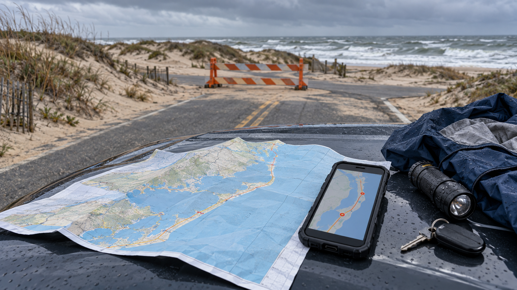
- Offline maps and a paper road map; mobile service can be inconsistent along the barrier islands.
- A charged phone, vehicle charger and power bank.
- Water, food and essential medication for longer than the planned drive.
- A rain shell, warm layer, closed footwear and reflective emergency layer.
- A flashlight, basic first-aid kit and vehicle emergency supplies.
- Saved reservation, ferry and road-status information.
A paper map can remain useful when a storm disrupts service or forces a reroute. You can browse current Outer Banks road maps on Amazon before a future trip.
As an Amazon Associate, ReaderSpice earns from qualifying purchases.
How to monitor official updates
- Dare County emergency information: evacuation, reentry and local government status.
- DriveNC: live road closures, flooding and traffic conditions.
- NCDOT Ferry Division: route suspensions and restart notices.
- Cape Hatteras National Seashore: campground, ORV, lighthouse and facility operations.
- National Weather Service Newport/Morehead City: coastal flood, surf, wind and beach hazards.
- Your lodging provider: property-specific access and reservation changes.
Check the timestamp on every notice. During a long coastal event, a morning update can be overtaken by an afternoon high tide or a new local order.
The bottom line
Hatteras Island is not a normal leisure destination on October 19. Non-resident visitor access remains restricted, Ocracoke ferry service is suspended, and the weather threat includes coastal flooding, dangerous surf and repeated overwash. The safest decision is to postpone entry until local authorities announce reentry and transportation agencies confirm the route.
Fort Raleigh and Wright Brothers National Memorial offer possible alternatives beginning at 9 a.m. Monday, but they should still be verified before departure. Use official, timestamped information, keep the trip flexible and do not treat one reopened facility as proof that the entire Outer Banks route is ready.
Sources
National Park Service: Weather-Related Closures at Cape Hatteras and Nearby Sites — October 17, 2026
Dare County: Mandatory Evacuation Ordered for Hatteras Island Visitors — October 16, 2026
NCDOT: Travelers Urged to Prepare for Possible Impacts to N.C. 12
Visit North Carolina: Coastal North Carolina Travel Advisory