Salem Haunted Happenings 2026 Guide: Transportation, Events and Crowd-Smart Tips

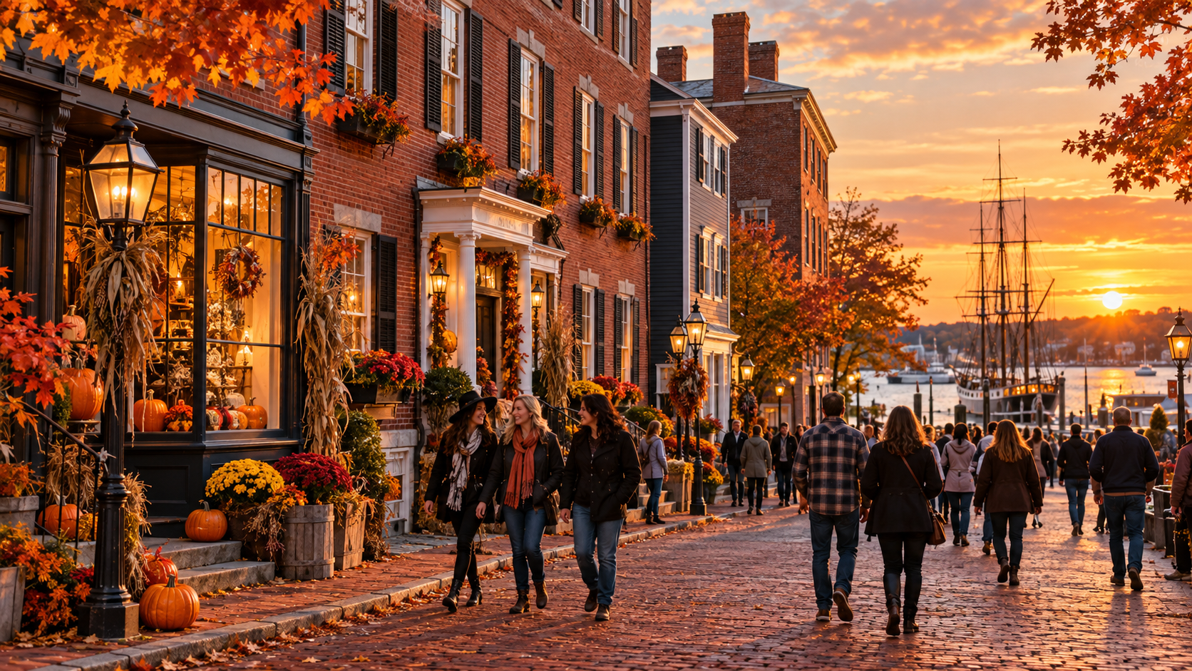
Historic Salem Massachusetts streets decorated for Haunted Happenings in October 2026

Salem’s Haunted Happenings returns for the full month of October 2026, bringing parades, history tours, museums, street performers, seasonal markets and costumed crowds to one of New England’s most recognizable fall destinations. This year’s trip requires more planning than usual: the City of Salem says it will not operate its former October weekend shuttle, downtown road closures will be extensive, and Halloween falls on a Saturday.

The good news is that Salem remains easy to visit without a car. Commuter rail from Boston, the Salem Ferry and a walkable downtown make a day trip practical—if you reserve high-priority attractions early and build in extra time for lines.

What changed for Salem visitors in 2026

The biggest transportation change is simple but important: Salem’s official October parking page says the city will not provide shuttle service in 2026. Free parking will still be available on October weekends and Indigenous Peoples’ Day at 108 Jefferson Avenue, but visitors must walk roughly five minutes to downtown instead of waiting for a shuttle.

The city is also using more substantial barricades at several closures. Essex Street will be restricted on October weekends, and downtown streets may close earlier than the published schedule if crowd levels or safety conditions require it. Treat every driving estimate as provisional, especially during the final two weekends.

Salem in October: What the Streets Feel Like
Salem in October: What the Streets Feel Like

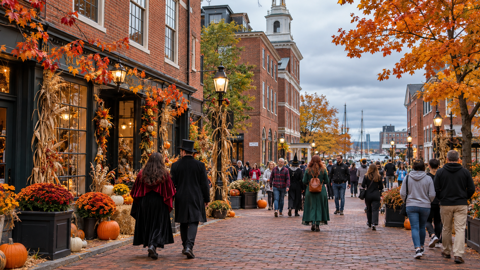
October Salem is part living city, part history destination and part month-long festival. The compact center is highly walkable, but sidewalks and pedestrian areas can become shoulder-to-shoulder on peak Saturdays. Historic homes are real residences, not movie sets, so visitors should admire architecture from public sidewalks and avoid porches, steps and private gardens.

The atmosphere is liveliest around Essex Street, Salem Common, Derby Street and the waterfront. Families will find daytime events and museums, while evening programming leans more heavily toward tours, performances and costume nightlife. The city’s official Haunted Happenings calendar is the best place to confirm times because individual organizers can change or cancel programs.

Best ways to get to Salem without driving downtown

For most visitors, the commuter rail is the simplest option. Salem is on the Newburyport/Rockport Line, about 30 minutes from Boston’s North Station and about five minutes from Beverly. Weekend riders can use the MBTA’s $10 Weekend Commuter Rail Pass for unlimited travel across all zones on Saturday and Sunday.

  • From Boston: board at North Station and confirm the return schedule before leaving the platform in Salem.
  • From north of Salem: consider parking near Beverly or another neighboring station, then riding one stop into downtown.
  • By water: the Salem Ferry connects Boston’s Long Wharf with Blaney Street and offers a scenic alternative when schedules fit.
  • If you must drive: arrive very early, expect changing closures, and use only legal public parking. Do not rely on resident-only streets.

The free lot at 108 Jefferson Avenue is available on Saturdays, Sundays and Indigenous Peoples’ Day, with no city shuttle in 2026. Because spaces are limited, it should be a backup rather than the foundation of a tightly timed itinerary.

The 2026 Haunted Happenings dates to know

  • October 1: The Haunted Happenings Grand Parade begins at 6:30 p.m. at Shetland Park. Route closures and no-parking zones begin much earlier.
  • October 3–4, 10–12, 17–18, 24–25 and 31: Weekend and holiday traffic restrictions affect Essex Street and other downtown roads.
  • October 24–25 and October 30–31: The city expects especially heavy traffic and likely early closures.
  • October 31: Downtown streets close no later than noon. The Salem MBTA garage will not allow entry or exit from 6 p.m. to 1 a.m.
  • October 31 at 10:15 p.m.: A drone show is scheduled to close the celebration, replacing the traditional fireworks. Bridge Street is scheduled to close from 9:15 to 11:30 p.m.

All closure times are subject to change. Download the Destination Salem or My Salem MA app and enable notifications if you are visiting on a busy weekend.

A practical one-day Salem itinerary

Morning: arrive before the crowds

Aim to reach Salem between 8 and 9 a.m. on a weekend. Begin with a reserved museum, historic-site entry or walking tour rather than browsing without a plan. Early timed tickets reduce the risk of spending the best part of the morning in a standby line.

Late morning: history before spectacle

Choose one substantial history stop and give it adequate time. Salem’s 1692 witch trials were a real judicial tragedy; a thoughtful visit should distinguish documented history from seasonal entertainment. Pair a museum with a walk through the McIntire Historic District, the waterfront or Salem Common.

Lunch: eat before the rush

Try to sit down before noon or after 2 p.m. Peak restaurants can quote waits of an hour or more on major October weekends. A reservation, mobile waitlist or casual counter-service option will preserve more time for attractions.

Afternoon: Essex Street and the waterfront

Use the afternoon for shops, vendors and outdoor programming, then walk toward Derby Street and the waterfront for a change of pace. Build a buffer before any timed evening tour; crossing downtown can take longer than the map suggests when pedestrian areas are packed.

Evening: one ticketed event, then leave deliberately

Pick one evening tour, theatrical performance or seasonal attraction. Before it begins, confirm your final train or ferry and identify a fallback. Halloween visitors should remember that the MBTA garage is locked to vehicle entry and exit during the evening, although rail passengers can still use the station.

What to reserve before you go

October is not the month for a completely spontaneous Salem trip. Book the elements that would ruin the day if unavailable, then leave the rest flexible.

  • Transportation and return times, especially for the last train or ferry you are willing to take
  • One priority museum, historic site or guided tour
  • Dinner if you want a specific restaurant or a large-group table
  • A hotel outside Salem if downtown lodging is already sold out
  • Paid event tickets directly from the organizer listed on the official calendar

How to handle crowds, weather and safety

Wear comfortable shoes with traction; much of the day will be spent walking or standing. October weather can shift from mild sun to cold rain, so carry a light waterproof layer and an extra warm layer rather than relying on a single heavy coat.

Keep your phone charged for tickets, train schedules and closure alerts. A compact TORRAS MiniMag 5,000mAh power bank is useful for a long walking day, especially if you are using navigation and taking photos. Keep valuables zipped, set a meeting point for your group, and avoid blocking doorways or residential steps.

If crowds are uncomfortable, visit Sunday morning, a weekday, or earlier in October. The final two weekends deliver the biggest spectacle but also the longest lines, highest lodging rates and most complicated transportation.

Where to stay if Salem is sold out

Beverly is the most convenient alternative because it is one short commuter-rail ride from Salem. Peabody and Danvers can work for travelers with cars, but parking outside downtown and switching to transit is usually less stressful. Boston offers the widest lodging selection and a straightforward train ride from North Station, though late-night visitors must watch the final departure.

Is Salem worth visiting in October 2026?

Yes—if you want the full Haunted Happenings energy and are willing to plan around crowds. Salem combines documented history, maritime architecture, museums and a genuinely unusual month-long street atmosphere. Visitors seeking a quiet historic weekend should choose November, early fall or a weekday; visitors who want costumes, events and peak Halloween excitement should accept that transportation and reservations are part of the experience.

The most important 2026 takeaway is to arrive without depending on downtown parking or a city shuttle. Take the train or ferry, reserve one or two priorities, and let the rest of the day unfold on foot.

Disclosure: ReaderSpice may earn a commission from qualifying Amazon purchases made through links in this article, at no extra cost to you.

Sources

City of Salem: 2026 October road closures and traffic plan

City of Salem: October parking and transportation

Salem Haunted Happenings: official 2026 events calendar
Salem Haunted Happenings: transportation options

Salem Haunted Happenings: festival overview and dates

Great Smoky Mountains Fall Foliage Guide 2026: Best Time, Scenic Drives and Crowd-Smart Tips

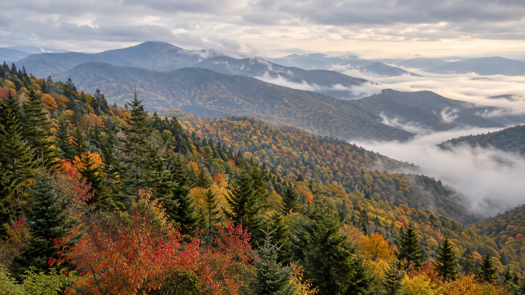
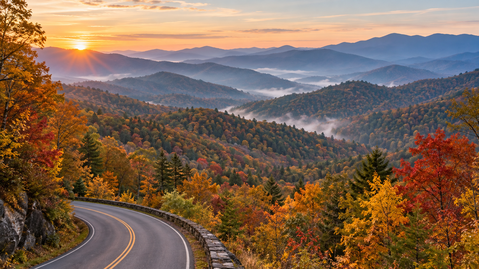
Autumn foliage and misty ridges along a scenic road in Great Smoky Mountains National Park

Great Smoky Mountains National Park does not have one universal “peak week.” Its elevation changes from about 875 feet to 6,643 feet, so autumn color typically moves downhill over several weeks. That makes the park more forgiving than a single-date foliage destination—but only if you match your route to the elevation and arrive with a backup plan.

For 2026, the safest strategy is to treat mid-September through early November as a moving window, then use current park conditions and webcams to fine-tune your day. October is normally the park’s busiest month, and the National Park Service warns that travel can take hours longer than expected when roads and overlooks fill.

When fall colors peak at different elevations

Fall color changing by elevation across misty Great Smoky Mountains ridges

At the highest elevations, leaves can begin changing as early as mid-September. By early to mid-October, color commonly develops above 4,000 feet. The most vivid color at middle and lower elevations—where sugar maples, scarlet oaks, sweetgums and hickories add stronger reds and golds—often arrives from mid-October into early November.

That sequence is more useful than choosing a single predicted peak date. Early-season visitors should prioritize the high country around Newfound Gap and Kuwohi. Later in October, shift toward Cades Cove, Little River Road, Roaring Fork and the lower park gateways. Warm nights, drought, wind or a hard freeze can speed up or delay the show, so check the NPS current conditions page shortly before you leave.

The best scenic drives for fall foliage

Newfound Gap Road and Kuwohi for the high-elevation strategy

Newfound Gap Road (US 441) crosses the park between Gatlinburg and Cherokee and gives you the broadest elevation range in one drive. It is the best first choice when color is still concentrated high on the ridges. Kuwohi Road, formerly Clingmans Dome Road, is scheduled to remain open through November 29 in 2026, weather permitting. Snow, ice, wind or other hazards can still close it with little notice.

Build extra time into this route. Overlooks are small, pullouts can fill quickly and high-elevation weather can be very different from conditions in Gatlinburg or Cherokee. If the Kuwohi parking area is full, continue to another legal overlook instead of waiting in the roadway.

Foothills Parkway for broad mountain views

Foothills Parkway West is a strong alternative when the park’s central corridor is backed up. Its long-range views show multiple ridgelines at once, making it especially rewarding when color is spread across elevations. It also works well near sunrise or late afternoon, when low-angle light adds depth to the blue ridges and autumn canopy.

Cades Cove for valleys, wildlife and historic scenery

The 11-mile, one-way Cades Cove Loop combines lower-elevation foliage with historic buildings and open valley views. The tradeoff is congestion: wildlife sightings, crowded pullouts and slow traffic can turn the loop into a multi-hour drive. Enter early on a weekday, carry food and water, and do not plan a tight connection afterward.

Vehicle-free Wednesdays run through September 30 in 2026. On those Wednesdays, motor vehicles are excluded from the loop all day, although a parking tag is still required if you park for more than 15 minutes. The vehicle-free period has ended by the heart of October foliage season, but visitors arriving in late September should plan around it.

Roaring Fork and quieter alternatives

Roaring Fork Motor Nature Trail is a compact, forested one-way drive near Gatlinburg. The 2026 seasonal schedule keeps it open through November 29, weather permitting, and vehicles longer than 25 feet are prohibited. If central roads are gridlocked, consider the Oconaluftee side, Deep Creek near Bryson City, Cosby or the Abrams Creek and Look Rock area rather than spending the day in traffic.

A practical two-day fall itinerary

Day 1: Start before sunrise on Newfound Gap Road, stopping only at legal pullouts. Continue toward Kuwohi if the road is open and parking is available. After the high country, descend toward Oconaluftee for lower-elevation color and a less frantic afternoon. Keep the route flexible enough to skip any stop that is already full.

Day 2: Choose either Cades Cove or Foothills Parkway—not both unless traffic is unusually light. At Cades Cove, allow several hours and pair the loop with one short walk. On Foothills Parkway, combine overlooks with Look Rock. This split keeps you from repeatedly crossing the busiest center of the park.

Parking tags and what they do not guarantee

  • Daily parking tag: $5
  • Weekly parking tag: $15
  • Annual parking tag: $40

A tag is required when a vehicle is parked inside the park for more than 15 minutes. Daily and weekly tags bought online must be printed and displayed; a phone image is not accepted. Each tag is tied to one license plate, and America the Beautiful passes do not replace the Smokies parking tag. Most importantly, buying a tag does not reserve or guarantee a parking space.

Rental-car users should wait until they know the license plate number. If you purchase online through Recreation.gov, print the tag before entering the park because staff will not print it for you. Trailheads frequently do not have tag machines.

How to beat October crowds

  • Travel on a Tuesday, Wednesday or Thursday when possible.
  • Reach the first stop before sunrise, or visit popular overlooks late in the afternoon.
  • Choose one priority drive and one backup area on the same side of the park.
  • Download maps before entering; mobile service is unreliable in many valleys.
  • Carry lunch, water, layers and a basic first-aid kit so a full parking area does not derail the day.
  • Never park on vegetation, block a lane or wait in a traffic lane for a space.

The best crowd strategy is geographic, not just chronological. If Newfound Gap Road is stalled, changing to another nearby overlook may not help. A better Plan B is a different park sector—Foothills Parkway, Cosby, Deep Creek or Oconaluftee—where the traffic pattern can be completely different.

Short hikes that add color without consuming the day

For an easy riverside option, the Oconaluftee River Trail offers lower-elevation forest near Cherokee. Look Rock Tower provides a broad western view with a relatively short walk. Porters Creek and the Little River–Cucumber Gap area can deliver colorful hardwoods, but always check current trail alerts before driving to a trailhead. Laurel Falls Trail remains listed as closed for rehabilitation, and Bullhead Trail has weekday construction closures through November 19, 2026.

What to pack for shifting mountain weather

Bring a warm layer and rain shell even when the gateway towns feel mild. Higher elevations can be colder, windier and cloudier, and early-morning overlooks may be slick. Sturdy shoes, water, a flashlight, a paper map and a charged phone or power bank are sensible even for a drive-focused day.

A waterproof paper map remains useful when service disappears or a closure forces a reroute. The National Geographic Trails Illustrated Great Smoky Mountains map covers park roads, trails, overlooks and surrounding public lands.

Disclosure: ReaderSpice may earn a commission from qualifying Amazon purchases at no extra cost to you.

The bottom line

The smartest 2026 Smokies foliage trip follows the color downhill. Aim high in late September and early October, favor the middle and lower elevations later in October, and treat early November as a possible bonus rather than a promise. Buy and print the correct parking tag, check road and trail alerts the morning of your visit, and keep one alternate park sector ready. Flexibility is the difference between a day spent watching brake lights and one spent watching the mountains change color.

Sources

NPS: Fall Colors in Great Smoky Mountains National Park

NPS: Fees and Parking Tags

NPS: 2026 Seasonal Road Schedule

NPS: Cades Cove Vehicle-Free Wednesdays

NPS: Current Conditions and Closures

10 Beautiful Fall Road Trips in the U.S. for 2026: Where to See the Best Autumn Colors

Fall road trips have a special kind of magic. Cooler temperatures make long drives more comfortable, summer crowds begin to thin, and forests across the United States turn into sweeping landscapes of red, orange, gold, and yellow. The challenge is timing your trip well: peak color can shift from year to year depending on elevation, latitude, temperature, rainfall, and local weather.

If you are planning an autumn getaway in 2026, these ten routes offer a mix of mountain scenery, national parks, lakeshores, small towns, and classic American highways. Instead of treating peak foliage dates as guarantees, use the timing below as a planning window and check local foliage reports shortly before leaving.

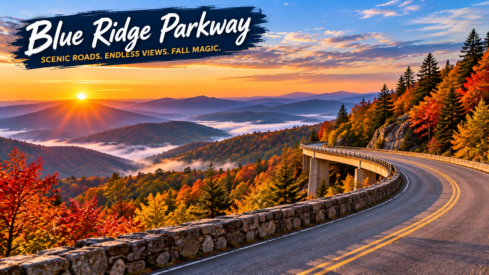
1. Blue Ridge Parkway — Virginia and North Carolina

Few American roads are as closely associated with fall as the Blue Ridge Parkway. The route winds through the Appalachian Mountains between Virginia and North Carolina, giving travelers repeated overlooks, forested ridges, hiking opportunities, and access to communities throughout the region.

The National Park Service highlights the Blue Ridge Parkway as one of the country’s standout places for autumn color. Because the parkway covers a long distance and major changes in elevation, color does not peak everywhere at once. That can actually help road trippers: if one elevation has passed peak, another part of the route may still be approaching its best color.

Best for: Mountain overlooks, photography, hiking, and a multi-day scenic drive.

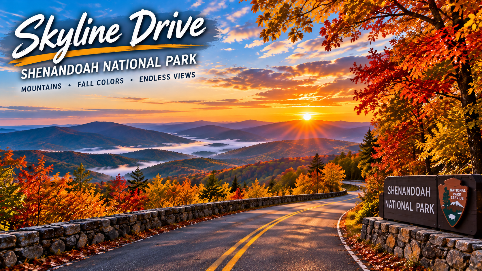
2. Skyline Drive and Shenandoah National Park — Virginia

Skyline Drive runs through Shenandoah National Park and is one of the easiest ways to experience a broad Appalachian fall landscape from the car. The National Park Service describes Shenandoah as particularly well known for fall color, with views across valleys and forested mountains.

Build extra time into the drive. The best experience is not simply reaching the other end; it is stopping at overlooks, taking a short trail, and watching the landscape change as the road gains and loses elevation. Travelers coming from the Washington, D.C. region can also turn Shenandoah into a manageable weekend road trip.

Best for: A weekend getaway, panoramic overlooks, and easy access from the Mid-Atlantic.

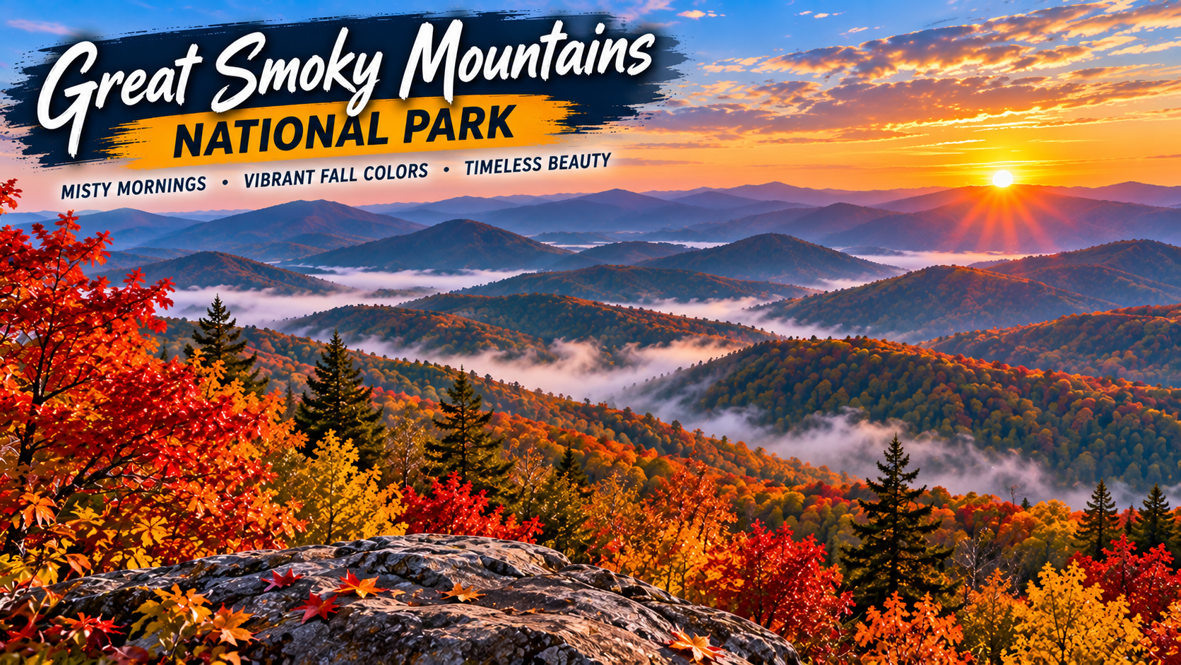
3. Great Smoky Mountains — Tennessee and North Carolina

Great Smoky Mountains National Park combines dense forests, mountain roads, streams, and one of the most diverse fall landscapes in the Southeast. The National Park Service specifically recommends autumn drives and hikes in the park, including options that can help visitors explore beyond the busiest areas.

Elevation matters here. Higher areas can begin changing earlier while lower valleys often hold their color later. That extended transition gives travelers a wider opportunity to see foliage than a destination where everything changes at roughly the same time.

Best for: Families, mountain drives, hiking, and combining scenery with a longer Tennessee or North Carolina trip.

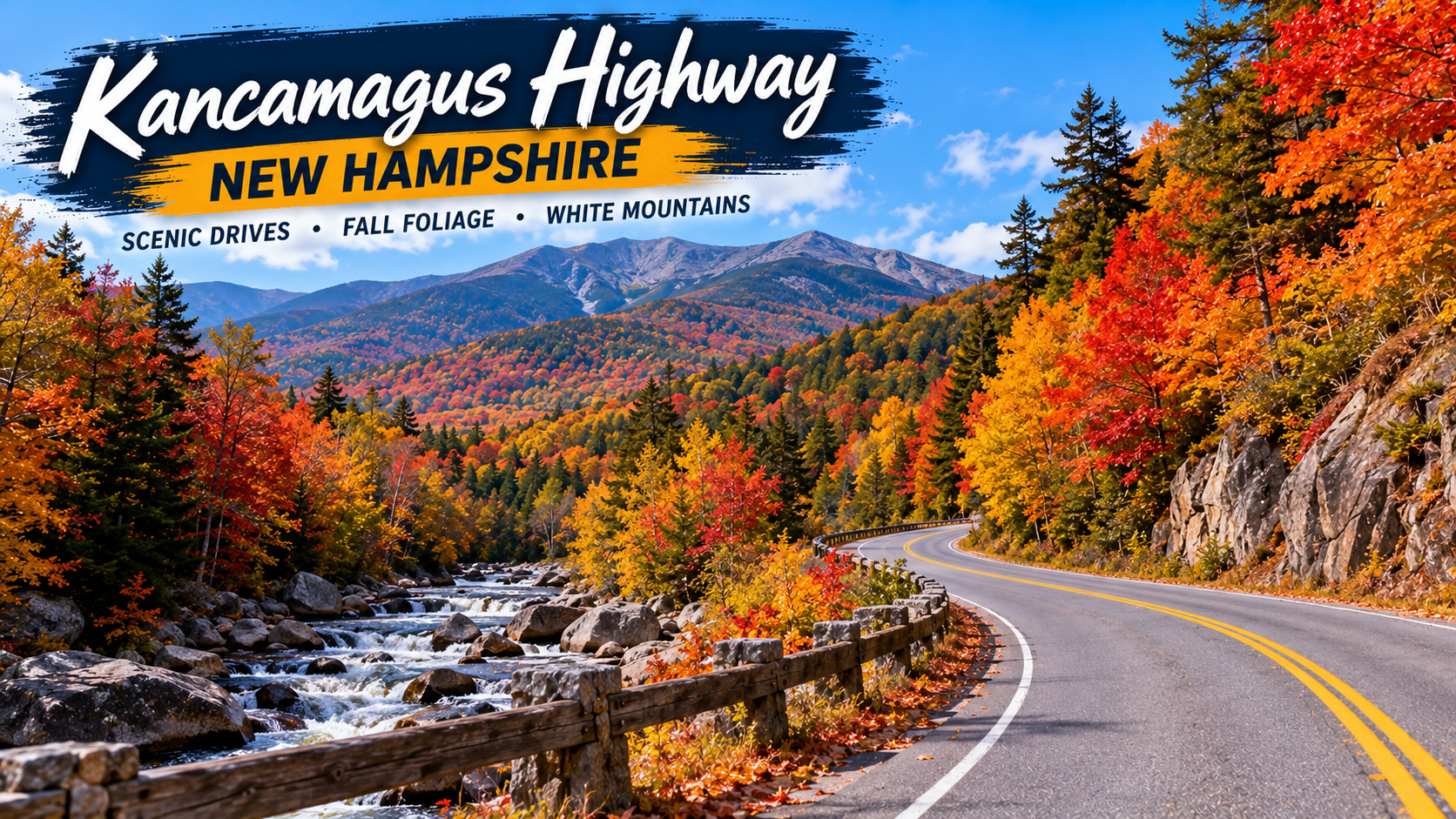
4. Kancamagus Highway — New Hampshire

New Hampshire’s Kancamagus Highway, often called “the Kanc,” is a classic New England foliage drive through the White Mountains. Visit New Hampshire describes the scenic stretch as 34.5 miles long and warns that there are no gas stations along the route and little to no cell service in places.

The drive can be completed quickly when traffic is light, but peak foliage season can dramatically increase travel time. Fill the tank before entering the route, download offline maps, and leave enough time for overlooks and short walks rather than trying to rush through.

Best for: Classic New England color, mountain scenery, and a compact one-day road trip.

5. Acadia National Park and Park Loop Road — Maine

Acadia offers something different from an inland forest drive: autumn foliage alongside lakes, granite mountains, and the Maine coast. The National Park Service says the park’s 27-mile Park Loop Road passes forests, lakes, mountains, shoreline scenery, overlooks, picnic areas, and trailheads.

A fall trip can combine the loop with stops around Jordan Pond, Otter Point, and other well-known areas. Check current park conditions and any vehicle-reservation requirements that apply to specific destinations before traveling.

Best for: Coastal scenery, photography, hiking, and travelers who want fall color plus ocean views.

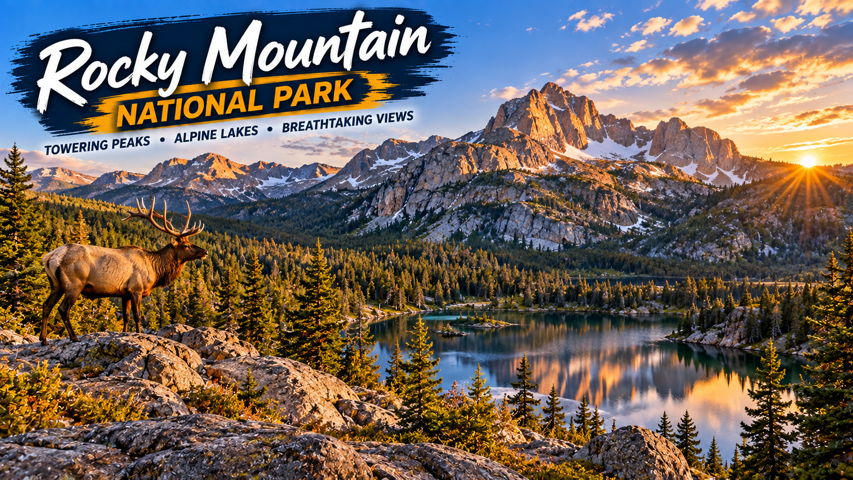
6. Rocky Mountain National Park — Colorado

Colorado’s autumn palette is different from the dense red-and-orange forests of the East. In Rocky Mountain National Park, golden aspens stand out against evergreens and high mountain terrain. The National Park Service notes that fall color progresses down the mountains from higher subalpine areas toward lower elevations.

Weather can change quickly in the Rockies, particularly as autumn advances. Check road conditions before setting out, carry layers, and avoid assuming that a warm afternoon at lower elevation means conditions will be the same higher in the park.

Best for: Golden aspens, dramatic mountain backdrops, wildlife viewing, and high-elevation scenery.

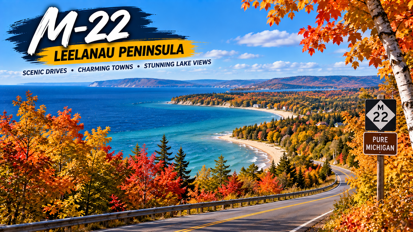
7. M-22 and the Leelanau Peninsula — Michigan

Michigan is easy to overlook when planning a national fall road trip, but its combination of hardwood forests and Great Lakes shoreline makes it a strong autumn destination. Pure Michigan highlights M-22 along the Leelanau Peninsula for its fall color and glimpses of Lake Michigan.

Michigan’s color generally progresses from north to south, with the Upper Peninsula changing before much of the Lower Peninsula. That makes a current foliage map especially useful when deciding exactly where to drive. M-22 works well for travelers who want colorful roads without giving up lake views and small-town stops.

Best for: Great Lakes scenery, small towns, shoreline drives, and Midwest road trips.

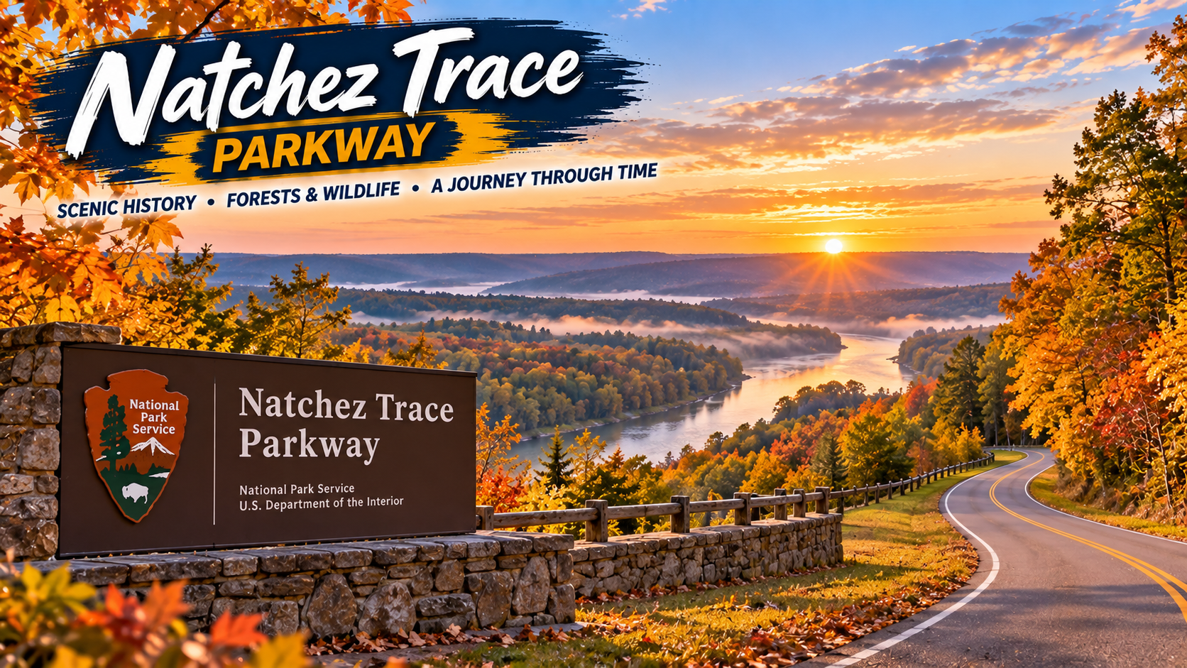
8. Natchez Trace Parkway — Mississippi, Alabama, and Tennessee

For a slower-paced Southern fall drive, the Natchez Trace Parkway offers a long corridor through Mississippi, Alabama, and Tennessee. The National Park Service recommends the parkway for its crimson foliage and autumn atmosphere.

This is a good choice for travelers who prefer a road-trip experience built around the journey itself. Rather than chasing a single famous viewpoint, plan a series of short stops and allow the route’s forests and historic landscape to set the pace.

Best for: Relaxed driving, Southern scenery, and travelers who prefer a less mountainous route.

9. Guadalupe Mountains National Park — Texas

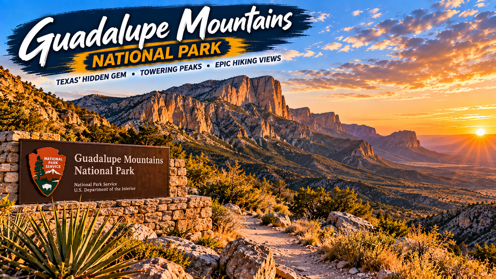
Texas may not be the first state that comes to mind for fall foliage, but Guadalupe Mountains National Park gives Texans a late-season option. According to the National Park Service, leaves in the Guadalupe Mountains usually begin changing from mid-October through mid-November, making the park one of the later opportunities on this list.

For travelers starting in Texas, it can also be an appealing alternative to flying across the country just to see autumn color. Remember that this is rugged desert-and-mountain country, so check trail, weather, water, and road information before departure.

Best for: Texas road trippers, late-season color, hiking, and desert-meets-mountain scenery.

10. A Michigan Upper Peninsula Fall Drive

If you want a longer northern adventure, Michigan’s Upper Peninsula can deliver an entirely different scale of fall scenery. Pure Michigan notes that color arrives earlier in the Upper Peninsula than in the Lower Peninsula and highlights routes such as the Black River National Forest Scenic Byway near Lake Superior.

The Upper Peninsula is best treated as a multi-day trip rather than a quick drive. Distances can be substantial, weather can shift, and the temptation to stop for waterfalls, lake views, forest roads, and overlooks will slow you down — in a good way.

Best for: Multi-day adventures, waterfalls, Lake Superior scenery, and travelers who want to get away from major cities.

When Is the Best Time for a Fall Road Trip?

There is no single nationwide peak-foliage week. Northern destinations and high elevations generally begin changing earlier, while southern and lower-elevation destinations can hold color later. New Hampshire’s official foliage guidance says northern parts of the state historically begin showing color around mid-September, with the White Mountains following later in September. In Texas, the National Park Service says Guadalupe Mountains typically changes much later, from roughly mid-October into mid-November.

For 2026, treat historical timing as a starting point rather than a promise. Check an official park page, state tourism foliage tracker, road conditions, and the weather forecast during the week before your trip.

What to Pack for a Fall Road Trip

Autumn road trips can involve warm afternoons, cold mornings, rain, wind, and occasionally early snow at higher elevations. A few practical items can make the drive easier:

• A reliable phone mount for navigation

• A USB-C car charger or portable power bank

• Refillable water bottles and a small travel cooler

• A compact first-aid and roadside emergency kit

• Layers, including a light insulated jacket and rain shell

• Comfortable walking or hiking shoes

• A flashlight or headlamp

• Offline maps for areas with weak cellular coverage

If you are building your road-trip kit, check current travel essentials on Amazon before you leave. Prices and availability can change, so compare options based on your vehicle, trip length, and destination.

How to Make the Most of Your Fall Drive

Start early. Popular foliage routes can become crowded by late morning, especially on weekends. Sunrise and early-morning light can also produce some of the best photography.

Download maps before leaving reliable cellular coverage, keep the fuel tank comfortably above empty, and avoid stopping on road shoulders unless parking is explicitly permitted. Use designated overlooks and pullouts instead.

Most importantly, keep your itinerary flexible. Fall color is a natural event, not a scheduled attraction. A route that is slightly before or after peak can still be beautiful, and changing your elevation or driving an hour north or south may completely change what you see.

Final Thoughts

The best fall road trip is not necessarily the route with the most famous foliage. It is the one that fits your timing, driving distance, preferred scenery, and available days. The Blue Ridge Parkway and Shenandoah deliver classic Appalachian views; the Kancamagus Highway and Acadia provide a quintessential New England experience; Rocky Mountain National Park brings golden aspens and dramatic peaks; Michigan mixes hardwood color with Great Lakes scenery; and Guadalupe Mountains gives Texas travelers a later-season option.

Choose a route, watch the local foliage reports, and leave room in the schedule for unexpected stops. In autumn, the detours are often the part of the trip you remember most.

Sources

National Park Service — Autumn in National Parks

Visit New Hampshire — Ultimate NH Fall Foliage Road Trip Guide

National Park Service — Acadia Park Loop Road

Pure Michigan — Fall Color in Pure Michigan

Pure Michigan — Beautiful Places in Michigan to Visit in the Fall

Best Travel Gear for Stress-Free Trips: 15 Essentials to Pack

Affiliate disclosure: This article includes spaces for affiliate links. When links are added, ReaderSpice may earn a commission from qualifying purchases at no extra cost to you.

Travel should feel exciting, not like a battle against overstuffed luggage, dead phone batteries, tangled cables, and uncomfortable airport waits. The right travel gear does not mean buying every gadget marketed as a “must-have.” It means choosing a small collection of useful items that solve real problems and earn their place in your suitcase.

Whether you are planning a weekend road trip, a family vacation, an international flight, or a work trip, this travel packing guide focuses on practical essentials. These are the items that help you stay organized, protect your electronics, sleep more comfortably, and move through airports with less stress.

Continue reading “Best Travel Gear for Stress-Free Trips: 15 Essentials to Pack”